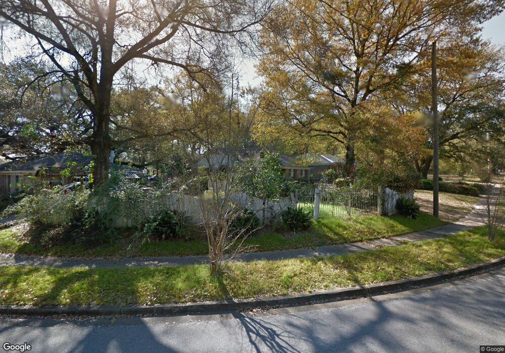
1505 Zack Logan Ave W Mobile, AL 36609
Malibar Heights NeighborhoodEstimated Value: $153,505 - $203,000
3
Beds
2
Baths
1,682
Sq Ft
$106/Sq Ft
Est. Value
About This Home
This home is located at 1505 Zack Logan Ave W, Mobile, AL 36609 and is currently estimated at $178,876, approximately $106 per square foot. 1505 Zack Logan Ave W is a home located in Mobile County with nearby schools including Olive J. Dodge Elementary School, Burns Middle School, and WP Davidson High School.
Ownership History
Date
Name
Owned For
Owner Type
Purchase Details
Closed on
Jun 6, 2011
Sold by
Citifinancial Inc
Bought by
Whitsett Brittney R
Current Estimated Value
Home Financials for this Owner
Home Financials are based on the most recent Mortgage that was taken out on this home.
Original Mortgage
$60,903
Outstanding Balance
$41,469
Interest Rate
4.37%
Mortgage Type
FHA
Estimated Equity
$137,407
Purchase Details
Closed on
Mar 18, 2011
Sold by
Likely Connell and Likely Cynthia
Bought by
Citifinancial Inc
Purchase Details
Closed on
Aug 23, 2007
Sold by
Likely Connell and Likely Cynthia
Bought by
Likely Connell and Likely Cynthia
Create a Home Valuation Report for This Property
The Home Valuation Report is an in-depth analysis detailing your home's value as well as a comparison with similar homes in the area
Home Values in the Area
Average Home Value in this Area
Purchase History
| Date | Buyer | Sale Price | Title Company |
|---|---|---|---|
| Whitsett Brittney R | $67,000 | None Available | |
| Citifinancial Inc | $47,989 | None Available | |
| Likely Connell | -- | Slt |
Source: Public Records
Mortgage History
| Date | Status | Borrower | Loan Amount |
|---|---|---|---|
| Open | Whitsett Brittney R | $60,903 |
Source: Public Records
Tax History Compared to Growth
Tax History
| Year | Tax Paid | Tax Assessment Tax Assessment Total Assessment is a certain percentage of the fair market value that is determined by local assessors to be the total taxable value of land and additions on the property. | Land | Improvement |
|---|---|---|---|---|
| 2024 | $732 | $11,610 | $2,000 | $9,610 |
| 2023 | $681 | $10,700 | $1,950 | $8,750 |
| 2022 | $574 | $10,090 | $1,800 | $8,290 |
| 2021 | $521 | $9,250 | $1,500 | $7,750 |
| 2020 | $522 | $9,270 | $1,320 | $7,950 |
| 2019 | $530 | $9,400 | $0 | $0 |
| 2018 | $530 | $9,400 | $0 | $0 |
| 2017 | $527 | $9,360 | $0 | $0 |
| 2016 | $535 | $9,480 | $0 | $0 |
| 2013 | $526 | $9,120 | $0 | $0 |
Source: Public Records
Map
Nearby Homes
- 5305 Oak Bend Ct
- 1618 Catalina Dr
- 4303 Panorama Blvd
- 1437 Regency Oaks Dr E
- 1429 Regency Oaks Dr E
- 4118 Seabreeze Rd N
- 4156 Palmdale Dr
- 402 La Rose Dr
- 4131 Springdale Rd
- 4126 Springdale Rd
- 603 Thornton Place
- 4061 Sallie Ct
- 661 Ynestra Dr
- 4317 Packingham Dr
- 4458 Wolf Creek Dr N
- 708 Monarch Dr W
- 1609 Oak Forest Ct
- 1424 Regency Oaks Dr W
- 708 Ynestra Dr
- 1701 Aspen Wood Ct
- 1505 Zack Logan Ave W
- 4209 Zack Logan Ave N
- 1509 Zack Logan Ave W
- 4205 Zack Logan Ave N
- 1504 Zack Logan Ave W
- 4208 Zack Logan Ave N
- 4212 Zack Logan Ave N
- 1508 Zack Logan Ave W
- 4200 Zack Logan Ave N
- 1504 S University Blvd
- 1490 Zack Logan Ave W
- 1517 Zack Logan Ave W
- 558 Zack Logan Ave W
- 1482 S University Blvd
- 1533 Zack Logan Ave W
- 1507 Steve St W
- 4208 Aurelia St
- 4208 Aurelia St Unit 2
- 4220 Aurelia St
- 1512 Logan Ave