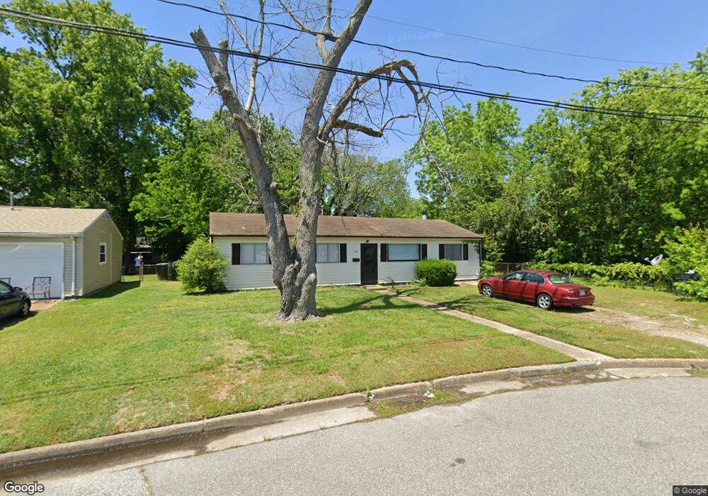
1507 Addison Rd Hampton, VA 23663
Buckroe Beach NeighborhoodEstimated Value: $233,000 - $263,000
3
Beds
1
Bath
1,200
Sq Ft
$209/Sq Ft
Est. Value
About This Home
This home is located at 1507 Addison Rd, Hampton, VA 23663 and is currently estimated at $250,556, approximately $208 per square foot. 1507 Addison Rd is a home located in Hampton City with nearby schools including Capt. John Smith Elementary School, Benjamin Syms Middle School, and Kecoughtan High School.
Ownership History
Date
Name
Owned For
Owner Type
Purchase Details
Closed on
Apr 14, 1999
Sold by
Sateren Dennis L
Bought by
Drummond Katina
Current Estimated Value
Home Financials for this Owner
Home Financials are based on the most recent Mortgage that was taken out on this home.
Original Mortgage
$72,400
Outstanding Balance
$18,196
Interest Rate
6.95%
Estimated Equity
$232,360
Create a Home Valuation Report for This Property
The Home Valuation Report is an in-depth analysis detailing your home's value as well as a comparison with similar homes in the area
Home Values in the Area
Average Home Value in this Area
Purchase History
| Date | Buyer | Sale Price | Title Company |
|---|---|---|---|
| Drummond Katina | $74,900 | -- |
Source: Public Records
Mortgage History
| Date | Status | Borrower | Loan Amount |
|---|---|---|---|
| Open | Drummond Katina | $72,400 |
Source: Public Records
Tax History
| Year | Tax Paid | Tax Assessment Tax Assessment Total Assessment is a certain percentage of the fair market value that is determined by local assessors to be the total taxable value of land and additions on the property. | Land | Improvement |
|---|---|---|---|---|
| 2025 | $2,707 | $238,000 | $55,000 | $183,000 |
| 2024 | $2,406 | $209,200 | $55,000 | $154,200 |
| 2023 | $2,350 | $202,600 | $55,000 | $147,600 |
| 2022 | $1,934 | $163,900 | $50,000 | $113,900 |
| 2021 | $2,068 | $156,300 | $42,000 | $114,300 |
| 2020 | $1,662 | $134,000 | $38,300 | $95,700 |
| 2019 | $1,552 | $125,200 | $38,300 | $86,900 |
| 2018 | $1,686 | $128,400 | $38,300 | $90,100 |
| 2017 | $1,686 | $0 | $0 | $0 |
| 2016 | $1,686 | $128,400 | $0 | $0 |
| 2015 | $1,686 | $0 | $0 | $0 |
| 2014 | $1,904 | $128,400 | $38,300 | $90,100 |
Source: Public Records
Map
Nearby Homes
- 385 Woodland Rd
- 1358 Coral Place
- 54 George Ct
- 1814 Somerville Dr
- 417 Woodland Rd
- 1912 Beall Dr
- 1845 Kensington Dr
- 304 Woodland Rd
- 1923 Rawood Dr
- 1926 Somerville Dr
- 706 Grimes Rd
- 2000 Beall Dr
- 2000 Egger Cir
- 1530 Morgan Dr
- 2007 Egger Cir
- 1445 Oakcrest Dr
- 1909 Long Green Ln
- 1915 Long Green Ln
- 2013 Egger Cir
- 350 Wrexham Ct
- 1505 Addison Rd
- 1224 Hale Dr
- 1503 Addison Rd
- 1800 Womack Dr
- 1406 Faulk Cir
- 1222 Hale Dr
- 1414 Brackin Ct
- 1412 Brackin Ct
- 1502 Addison Rd
- 1220 Hale Dr
- 1801 Darville Dr
- 1802 Womack Dr
- 1803 Womack Dr
- 1418 Brackin Ct
- 1407 Faulk Cir
- 1405 Addison Rd
- 1803 Darville Dr
- 1410 Brackin Ct
- 1804 Womack Dr
- 1218 Hale Dr
Your Personal Tour Guide
Ask me questions while you tour the home.