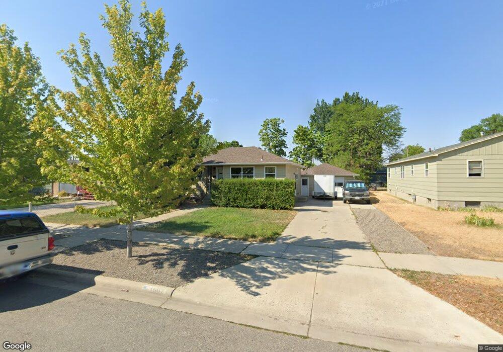
1507 Cook Ave Billings, MT 59102
East Central Billings NeighborhoodEstimated Value: $283,000 - $330,000
4
Beds
2
Baths
932
Sq Ft
$323/Sq Ft
Est. Value
About This Home
This home is located at 1507 Cook Ave, Billings, MT 59102 and is currently estimated at $301,140, approximately $323 per square foot. 1507 Cook Ave is a home located in Yellowstone County with nearby schools including Miles Avenue School, Lewis & Clark Junior High School, and Billings West High School.
Ownership History
Date
Name
Owned For
Owner Type
Purchase Details
Closed on
Dec 10, 2015
Sold by
Karls James C and Karls Kathyanne E
Bought by
J & K Properties Llc
Current Estimated Value
Home Financials for this Owner
Home Financials are based on the most recent Mortgage that was taken out on this home.
Interest Rate
3.95%
Purchase Details
Closed on
Apr 6, 2015
Sold by
Karls James C and Karls Kathyanne E
Bought by
J&K Properties Llc
Purchase Details
Closed on
Dec 12, 2013
Sold by
Karls Kathyanne E
Bought by
Karls James C and Karls Kathyanne E
Create a Home Valuation Report for This Property
The Home Valuation Report is an in-depth analysis detailing your home's value as well as a comparison with similar homes in the area
Home Values in the Area
Average Home Value in this Area
Purchase History
| Date | Buyer | Sale Price | Title Company |
|---|---|---|---|
| J & K Properties Llc | -- | -- | |
| J&K Properties Llc | -- | None Available | |
| Karls James C | -- | None Available |
Source: Public Records
Mortgage History
| Date | Status | Borrower | Loan Amount |
|---|---|---|---|
| Closed | J & K Properties Llc | -- |
Source: Public Records
Tax History
| Year | Tax Paid | Tax Assessment Tax Assessment Total Assessment is a certain percentage of the fair market value that is determined by local assessors to be the total taxable value of land and additions on the property. | Land | Improvement |
|---|---|---|---|---|
| 2025 | $2,477 | $290,600 | $49,423 | $241,177 |
| 2024 | $2,477 | $252,400 | $45,463 | $206,937 |
| 2023 | $2,486 | $252,400 | $45,463 | $206,937 |
| 2022 | $2,008 | $212,700 | $0 | $0 |
| 2021 | $2,263 | $212,700 | $0 | $0 |
| 2020 | $2,124 | $189,000 | $0 | $0 |
| 2019 | $2,030 | $189,000 | $0 | $0 |
| 2018 | $1,916 | $174,400 | $0 | $0 |
| 2017 | $1,703 | $183,900 | $0 | $0 |
| 2016 | $1,784 | $169,400 | $0 | $0 |
| 2015 | $1,744 | $169,400 | $0 | $0 |
| 2014 | $1,646 | $84,959 | $0 | $0 |
Source: Public Records
Map
Nearby Homes
- 1245 Cook Ave
- 1342 Custer Ave
- 1326 Custer Ave
- 1205 Lynn Ave
- 1537 Wyoming Ave Unit D
- 1736 Broadwater Ave
- 1216 Eldorado Dr
- 1310 Yellowstone Ave Unit 6
- 1310 Yellowstone Ave Unit 16
- 1204 Eldorado Dr
- 1627 Yellowstone Ave
- 1288 Yellowstone Ave Unit 2
- 16 19th St W
- 1225 Clark Ave
- 11 Alma Ln
- 947 Howard Ave
- 1704 Burlington Ave
- 1009 Wyoming Ave
- 1029 Yellowstone Ave Unit 2
- 925 Miles Ave
Your Personal Tour Guide
Ask me questions while you tour the home.