15079 Ashland Rd Glen Allen, VA 23059
Estimated Value: $192,000 - $419,000
--
Bed
--
Bath
--
Sq Ft
15.9
Acres
About This Home
This home is located at 15079 Ashland Rd, Glen Allen, VA 23059 and is currently estimated at $319,862. 15079 Ashland Rd is a home located in Hanover County with nearby schools including South Anna Elementary School, Liberty Middle School, and Patrick Henry High School.
Ownership History
Date
Name
Owned For
Owner Type
Purchase Details
Closed on
Feb 2, 2017
Sold by
Mclane Linda T and Godbolt Terry T
Bought by
Hhhunt Verada Llc A Virginia Limited Lia
Current Estimated Value
Home Financials for this Owner
Home Financials are based on the most recent Mortgage that was taken out on this home.
Original Mortgage
$1,650,000
Outstanding Balance
$1,369,938
Interest Rate
4.3%
Mortgage Type
Purchase Money Mortgage
Estimated Equity
-$1,050,076
Create a Home Valuation Report for This Property
The Home Valuation Report is an in-depth analysis detailing your home's value as well as a comparison with similar homes in the area
Home Values in the Area
Average Home Value in this Area
Purchase History
| Date | Buyer | Sale Price | Title Company |
|---|---|---|---|
| Hhhunt Verada Llc A Virginia Limited Lia | $3,300,000 | Attorney |
Source: Public Records
Mortgage History
| Date | Status | Borrower | Loan Amount |
|---|---|---|---|
| Open | Hhhunt Verada Llc A Virginia Limited Lia | $1,650,000 |
Source: Public Records
Tax History Compared to Growth
Tax History
| Year | Tax Paid | Tax Assessment Tax Assessment Total Assessment is a certain percentage of the fair market value that is determined by local assessors to be the total taxable value of land and additions on the property. | Land | Improvement |
|---|---|---|---|---|
| 2025 | $1,560 | $192,600 | $192,600 | $0 |
| 2024 | $1,397 | $172,500 | $172,500 | $0 |
| 2023 | $1,328 | $172,500 | $172,500 | $0 |
| 2022 | $1,279 | $157,900 | $157,900 | $0 |
| 2021 | $1,240 | $153,100 | $153,100 | $0 |
| 2020 | $1,240 | $153,100 | $153,100 | $0 |
| 2019 | $1,133 | $153,100 | $153,100 | $0 |
| 2018 | $1,133 | $139,900 | $139,900 | $0 |
| 2017 | $1,395 | $172,200 | $172,200 | $0 |
| 2016 | $1,238 | $152,800 | $152,800 | $0 |
| 2015 | $1,238 | $152,800 | $152,800 | $0 |
| 2014 | $1,238 | $152,800 | $152,800 | $0 |
Source: Public Records
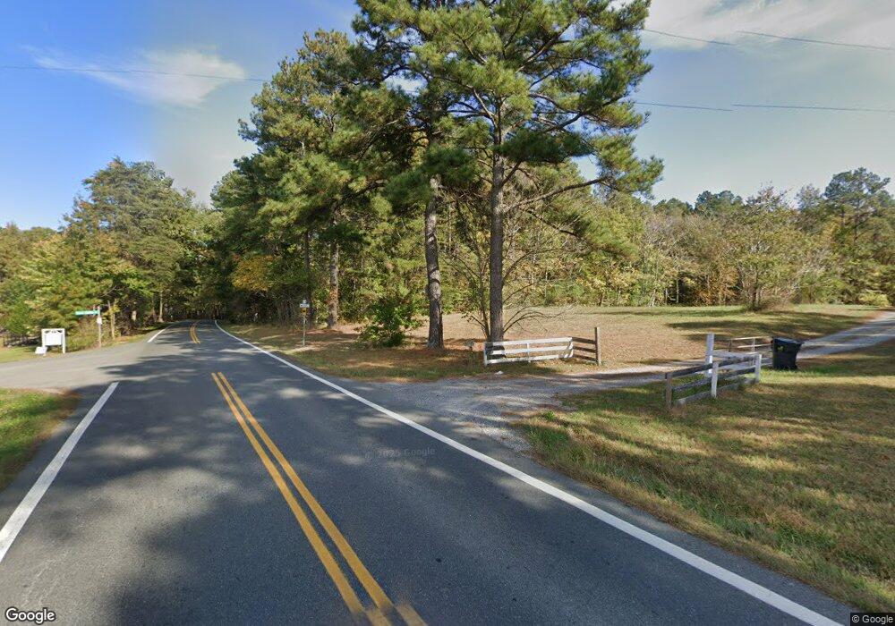
Map
Nearby Homes
- 12100 Manor Park Dr
- 6233 Kershaw Dr
- 14357 Western Riders Ln
- 12012 Layton Dr
- 12516 Collinstone Ct
- 5900 Maybrook Dr
- 2.1 Ashland Rd
- 6009 Chestnut Hill Dr
- 12410 Creek Mill Ct
- 11824 Park Forest Way
- 5410 Ridgedale Dr
- 6573 Glenshaw Dr
- 5400 Fuller Dr
- 5835 Shady Hills Way
- 5604 Ashton Park Ct
- 7034 Benhall Cir
- 12309 Hardwick Ct
- 11156 Dude Ranch Rd
- 11920 Shamrock Farms Ct
- 5525 Barnsley Terrace
- 12177 Manor Park Dr
- 12178 Manor Park Dr
- 12173 Manor Park Dr
- 12174 Manor Park Dr
- 12169 Manor Park Dr
- 6004 Manor Park Terrace
- 6000 Manor Park Terrace
- 6204 Walborough Ct
- 12165 Manor Park Dr
- 6008 Manor Park Terrace
- 6200 Walborough Ct
- 6208 Walborough Ct
- 15075 Ashland Rd
- 12101 Morestead Ct
- 12161 Manor Park Dr
- 12213 Walborough Ln
- 12217 Walborough Ln
- 12105 Morestead Ct
- 6201 Walborough Ct
- 12157 Manor Park Dr