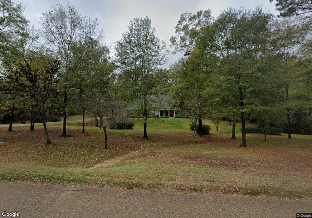
151 Creeks Edge Cir Ruston, LA 71270
Estimated Value: $513,000 - $576,354
Studio
--
Bath
2,967
Sq Ft
$181/Sq Ft
Est. Value
About This Home
This home is located at 151 Creeks Edge Cir, Ruston, LA 71270 and is currently estimated at $535,839, approximately $180 per square foot. 151 Creeks Edge Cir is a home with nearby schools including Choudrant Elementary School, Ruston Junior High School, and Choudrant High School.
Ownership History
Date
Name
Owned For
Owner Type
Purchase Details
Closed on
May 19, 2014
Sold by
Theodos Pete Andrew and Theodos Brenda Gail Dick
Bought by
The Theodos Family Irrevocable Trust
Current Estimated Value
Purchase Details
Closed on
Sep 3, 2010
Sold by
Knowles William Scott and Knowles Tammy Rena Hodge
Bought by
Theodos Pete Andrew and Theodos Brenda Dick
Create a Home Valuation Report for This Property
The Home Valuation Report is an in-depth analysis detailing your home's value as well as a comparison with similar homes in the area
Purchase History
| Date | Buyer | Sale Price | Title Company |
|---|---|---|---|
| The Theodos Family Irrevocable Trust | -- | None Available | |
| Theodos Pete Andrew | $42,000 | None Available |
Source: Public Records
Tax History Compared to Growth
Tax History
| Year | Tax Paid | Tax Assessment Tax Assessment Total Assessment is a certain percentage of the fair market value that is determined by local assessors to be the total taxable value of land and additions on the property. | Land | Improvement |
|---|---|---|---|---|
| 2024 | $3,904 | $49,609 | $7,547 | $42,062 |
| 2023 | $3,597 | $43,852 | $5,693 | $38,159 |
| 2022 | $3,573 | $43,852 | $5,693 | $38,159 |
| 2021 | $3,515 | $43,852 | $5,693 | $38,159 |
| 2020 | $3,522 | $43,852 | $5,693 | $38,159 |
| 2019 | $3,703 | $45,476 | $5,693 | $39,783 |
| 2018 | $3,705 | $45,476 | $5,693 | $39,783 |
| 2017 | $3,714 | $45,476 | $5,693 | $39,783 |
| 2016 | $3,791 | $0 | $0 | $0 |
| 2015 | $3,282 | $36,314 | $5,624 | $30,690 |
| 2013 | $376 | $4,186 | $4,186 | $0 |
Source: Public Records
Map
Nearby Homes
- 173 Oak Alley Dr
- 305 Oak Alley Dr
- 209 Mount Harmony Church Rd
- 3252 Highway 821
- 193 Mount Harmony Church Rd
- 185 Mount Harmony Church Rd
- 145 Woodshire Ln
- 128 Marlou Cir
- 137 Mount Harmony Church Rd
- Lot 1B Unit 1 Harmony Church Rd
- 136 Shade Tree Trace
- 641 Goodgoin Rd
- 197 Baxter Rd
- 294 Moody Rd
- 2420 Highway 33
- 3114 Canal St
- 0 Spillers Rd
- 1709 Rampart Dr
- 1729 Farmerville Hwy
- 0 Louisiana 33
- 139 Creek's Edge Cir
- 187 Creeks Edge Cir
- 160 Guy Rd
- 150 Creeks Edge Cir
- 164 Creeks Edge Cir
- 123 Creeks Edge Cir
- 134 Creeks Edge Cir
- 174 Creeks Edge Cir
- 2860 Highway 821
- 194 Creeks Edge Cir
- 111 Creeks Edge Cir
- 112 Creeks Edge Cir
- LOT #6 Creeks Edge Cir
- LOT #5 Creeks Edge Cir
- LOT #4 Creeks Edge Cir
- LOT #1 Creeks Edge Cir
- 185 Guy Rd
- 210 Creeks Edge Cir
- 9 Belle Pointe Dr
- 24 Belle Pointe Dr
