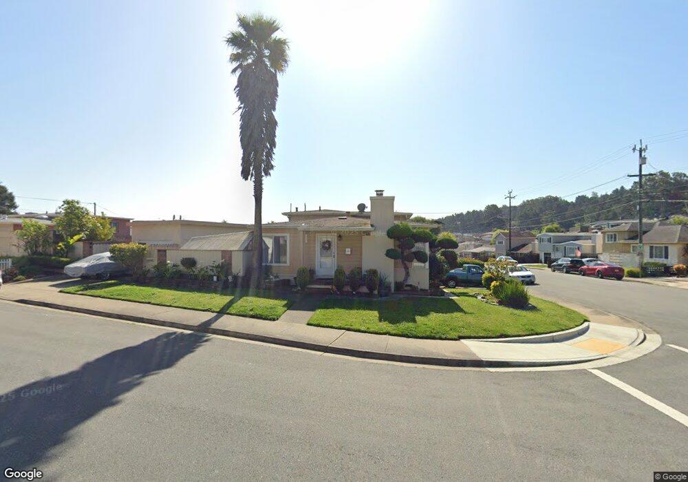
151 Dundee Dr South San Francisco, CA 94080
Serra Highlands NeighborhoodEstimated Value: $1,183,000 - $1,586,000
3
Beds
1
Bath
1,050
Sq Ft
$1,276/Sq Ft
Est. Value
About This Home
This home is located at 151 Dundee Dr, South San Francisco, CA 94080 and is currently estimated at $1,339,297, approximately $1,275 per square foot. 151 Dundee Dr is a home located in San Mateo County with nearby schools including Buri Buri Elementary School, Alta Loma Middle School, and El Camino High School.
Ownership History
Date
Name
Owned For
Owner Type
Purchase Details
Closed on
Nov 19, 2021
Sold by
Solis Jose and Solis Marie H
Bought by
Solis Jose and Solis Marie H
Current Estimated Value
Purchase Details
Closed on
Oct 16, 2009
Sold by
Solis Marie Helene Sapparrart and Sapparrart Marie
Bought by
Solis Marie Helene Sapparrart and Solis Jose
Home Financials for this Owner
Home Financials are based on the most recent Mortgage that was taken out on this home.
Original Mortgage
$408,000
Outstanding Balance
$266,009
Interest Rate
5.05%
Mortgage Type
New Conventional
Estimated Equity
$1,073,288
Purchase Details
Closed on
May 27, 2004
Sold by
Bilon Salander S and Bilon Ravindar
Bought by
Sapparrart Marie
Home Financials for this Owner
Home Financials are based on the most recent Mortgage that was taken out on this home.
Original Mortgage
$432,000
Interest Rate
5.5%
Mortgage Type
Purchase Money Mortgage
Create a Home Valuation Report for This Property
The Home Valuation Report is an in-depth analysis detailing your home's value as well as a comparison with similar homes in the area
Home Values in the Area
Average Home Value in this Area
Purchase History
| Date | Buyer | Sale Price | Title Company |
|---|---|---|---|
| Solis Jose | -- | None Available | |
| Solis Marie Helene Sapparrart | -- | Fidelity National Title Co | |
| Sapparrart Marie | $652,000 | Old Republic Title Company |
Source: Public Records
Mortgage History
| Date | Status | Borrower | Loan Amount |
|---|---|---|---|
| Open | Solis Marie Helene Sapparrart | $408,000 | |
| Closed | Sapparrart Marie | $432,000 |
Source: Public Records
Tax History Compared to Growth
Tax History
| Year | Tax Paid | Tax Assessment Tax Assessment Total Assessment is a certain percentage of the fair market value that is determined by local assessors to be the total taxable value of land and additions on the property. | Land | Improvement |
|---|---|---|---|---|
| 2025 | $10,750 | $926,992 | $463,496 | $463,496 |
| 2023 | $10,750 | $890,998 | $445,499 | $445,499 |
| 2022 | $9,987 | $873,528 | $436,764 | $436,764 |
| 2021 | $9,860 | $856,400 | $428,200 | $428,200 |
| 2020 | $9,739 | $847,620 | $423,810 | $423,810 |
| 2019 | $9,633 | $831,000 | $415,500 | $415,500 |
| 2018 | $9,404 | $814,706 | $407,353 | $407,353 |
| 2017 | $9,177 | $798,732 | $399,366 | $399,366 |
| 2016 | $8,442 | $730,000 | $365,000 | $365,000 |
| 2015 | $8,017 | $692,000 | $346,000 | $346,000 |
| 2014 | $7,007 | $600,000 | $300,000 | $300,000 |
Source: Public Records
Map
Nearby Homes
- 209 Mansfield Dr
- 228 Clifden Dr
- 376 Imperial Way Unit 315
- 374 Imperial Way Unit 2
- 368 Imperial Way Unit 204
- 359 Half Moon Ln Unit 113
- 377 Mandarin Dr Unit 305
- 381 Half Moon Ln Unit 213
- 357 Half Moon Ln Unit 12
- 397 Imperial Way Unit 306
- 395 Imperial Way Unit 230
- 227 Wicklow Dr
- 286 Barbara Ln
- 91 Crown Cir
- 109 Lycett Cir
- 831 Byron Dr
- 58 Arlington Dr
- 303 Innisfree Dr Unit 2
- 318 Innisfree Dr Unit 75
- 302 Philip Dr Unit 109