151 Gorham Ln Pea Ridge, AR 72751
Estimated Value: $217,000 - $239,000
Studio
1
Bath
1,152
Sq Ft
$200/Sq Ft
Est. Value
About This Home
This home is located at 151 Gorham Ln, Pea Ridge, AR 72751 and is currently estimated at $230,027, approximately $199 per square foot. 151 Gorham Ln is a home located in Benton County with nearby schools including Pea Ridge Primary School, Pea Ridge Intermediate School, and Pea Ridge Junior High School.
Ownership History
Date
Name
Owned For
Owner Type
Purchase Details
Closed on
May 9, 2000
Bought by
Collins J
Current Estimated Value
Purchase Details
Closed on
Apr 25, 2000
Bought by
N and A
Purchase Details
Closed on
Jun 23, 1989
Bought by
Miller
Purchase Details
Closed on
Feb 6, 1989
Bought by
Collins
Purchase Details
Closed on
Apr 13, 1983
Bought by
Miller
Create a Home Valuation Report for This Property
The Home Valuation Report is an in-depth analysis detailing your home's value as well as a comparison with similar homes in the area
Home Values in the Area
Average Home Value in this Area
Purchase History
| Date | Buyer | Sale Price | Title Company |
|---|---|---|---|
| Collins J | $3,000 | -- | |
| Collins J | $11,000 | -- | |
| Collins J | $30,000 | -- | |
| N | -- | -- | |
| Miller | -- | -- | |
| Collins | $33,000 | -- | |
| Miller | $5,000 | -- |
Source: Public Records
Tax History
| Year | Tax Paid | Tax Assessment Tax Assessment Total Assessment is a certain percentage of the fair market value that is determined by local assessors to be the total taxable value of land and additions on the property. | Land | Improvement |
|---|---|---|---|---|
| 2025 | $1,063 | $34,524 | $15,500 | $19,024 |
| 2024 | $975 | $34,524 | $15,500 | $19,024 |
| 2023 | $886 | $20,640 | $5,890 | $14,750 |
| 2022 | $857 | $20,640 | $5,890 | $14,750 |
| 2021 | $784 | $20,640 | $5,890 | $14,750 |
| 2020 | $733 | $13,140 | $2,320 | $10,820 |
| 2019 | $733 | $13,140 | $2,320 | $10,820 |
| 2018 | $733 | $13,140 | $2,320 | $10,820 |
| 2017 | $597 | $13,140 | $2,320 | $10,820 |
| 2016 | $597 | $13,140 | $2,320 | $10,820 |
| 2015 | $543 | $10,460 | $1,400 | $9,060 |
| 2014 | $543 | $10,460 | $1,400 | $9,060 |
Source: Public Records
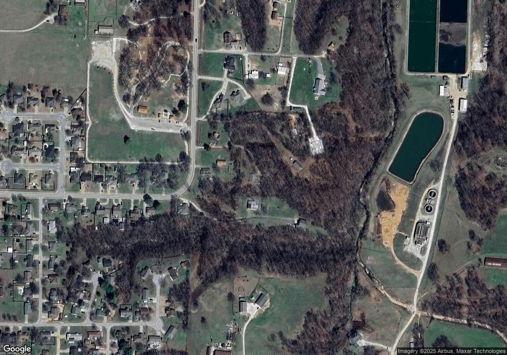
Map
Nearby Homes
- 2676 Hayden Rd
- 2680 Hayden Rd
- 1602 Christman
- 1600 Christman St
- 2309 Bergman Rd
- 2018 Hayden Rd
- 924 Hickman Dr
- 725 Todd Cir
- 1893 Hayden Rd
- 2051 Patterson Rd
- 2820 Murphy St
- 2401 Lock Ln
- 1717 Cuppett Cir
- 1702 Cuppett Cir
- 1701 Cuppett Cir
- 1715 Cuppett Cir
- 1700 Cuppett Cir
- 1703 Cuppett Cir
- 908 Adair Rd
- 2494 Christina Cir
- 2322 Hayden Rd
- 2374 Hwy 265
- 182 Gorham Ln
- 2374 Hayden Rd
- 2422 Hayden Rd
- 2422 Hayden Rd
- 2310 Hayden Rd
- 2440 Hayden Rd
- 2432 Hayden Rd
- 2450 Hayden Rd
- 2292 Hayden Rd
- 2436 Hayden Rd
- 2389 Hayden Rd
- 2289 Hayden Rd
- 2014 Mcnair St
- 2290 Hayden Rd
- 2290 N Hayden Rd Hwy 265 Rd
- 2287 Hayden Rd
- 2288 Hayden Rd
- 2010 Mcnair St
Your Personal Tour Guide
Ask me questions while you tour the home.