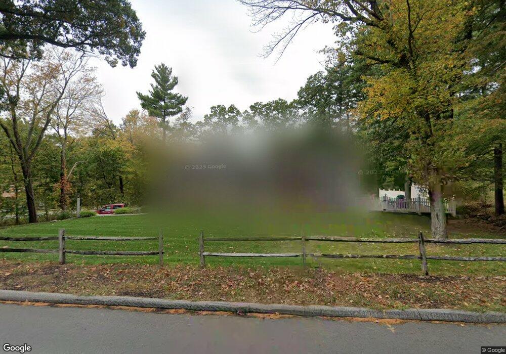
151 High Plain Rd Andover, MA 01810
West Andover NeighborhoodEstimated Value: $721,000 - $833,000
3
Beds
2
Baths
1,681
Sq Ft
$462/Sq Ft
Est. Value
About This Home
This home is located at 151 High Plain Rd, Andover, MA 01810 and is currently estimated at $776,671, approximately $462 per square foot. 151 High Plain Rd is a home located in Essex County with nearby schools including West Elementary School, Andover West Middle School, and Andover High School.
Ownership History
Date
Name
Owned For
Owner Type
Purchase Details
Closed on
May 3, 2023
Sold by
Papineau Christopher R and Papineau Maredith G
Bought by
Boy With Applr Ret and Papineau
Current Estimated Value
Purchase Details
Closed on
Jun 18, 2020
Sold by
Pjs Construction Llc
Bought by
Papineau Christopher R and Papineau Maredith G
Home Financials for this Owner
Home Financials are based on the most recent Mortgage that was taken out on this home.
Original Mortgage
$574,750
Interest Rate
3.2%
Mortgage Type
New Conventional
Purchase Details
Closed on
Nov 2, 2015
Sold by
Wallace E E and Wallace B G
Bought by
Pjs Construction Llc
Home Financials for this Owner
Home Financials are based on the most recent Mortgage that was taken out on this home.
Original Mortgage
$305,000
Interest Rate
3.92%
Mortgage Type
New Conventional
Create a Home Valuation Report for This Property
The Home Valuation Report is an in-depth analysis detailing your home's value as well as a comparison with similar homes in the area
Home Values in the Area
Average Home Value in this Area
Purchase History
| Date | Buyer | Sale Price | Title Company |
|---|---|---|---|
| Boy With Applr Ret | -- | None Available | |
| Boy With Applr Ret | -- | None Available | |
| Papineau Christopher R | $605,000 | None Available | |
| Pjs Construction Llc | $305,000 | -- |
Source: Public Records
Mortgage History
| Date | Status | Borrower | Loan Amount |
|---|---|---|---|
| Previous Owner | Papineau Christopher R | $574,750 | |
| Previous Owner | Pjs Construction Llc | $305,000 |
Source: Public Records
Tax History
| Year | Tax Paid | Tax Assessment Tax Assessment Total Assessment is a certain percentage of the fair market value that is determined by local assessors to be the total taxable value of land and additions on the property. | Land | Improvement |
|---|---|---|---|---|
| 2024 | $8,832 | $685,700 | $409,100 | $276,600 |
| 2023 | $8,447 | $618,400 | $368,500 | $249,900 |
| 2022 | $7,907 | $541,600 | $326,200 | $215,400 |
| 2021 | $7,564 | $494,700 | $296,600 | $198,100 |
| 2020 | $7,256 | $483,400 | $289,500 | $193,900 |
| 2019 | $7,052 | $461,800 | $272,900 | $188,900 |
| 2018 | $6,749 | $431,500 | $257,500 | $174,000 |
| 2017 | $6,450 | $424,900 | $252,400 | $172,500 |
| 2016 | $5,781 | $390,100 | $236,200 | $153,900 |
| 2015 | $5,572 | $372,200 | $227,100 | $145,100 |
Source: Public Records
Map
Nearby Homes
- 54 Birch Rd
- 4 Andover Country Club Ln
- 22 Bobby Jones Dr
- 25 Clubview Dr Unit 25
- 37 Crenshaw Ln Unit 37
- 5 Weeping Willow Dr
- 2 Weeping Willow Dr
- 241 Lowell St Unit 3
- 40 Chandler Cir
- 9 Oakland Rd
- 21 Clubview Dr Unit 21
- 0
- 96 Beacon St
- 23 Mount Vernon Cir
- 30 Canterbury St
- 35 Adams St
- 15 Geneva Rd
- 14 Geneva Rd
- 102 Weare St
- 4 Richard Cir
- 17 Serenity Ln
- 1 Serenity Ln
- 145 High Plain Rd
- 2 Serenity Ln
- 4 Serenity Ln
- 5 Serenity Ln
- 150 High Plain Rd
- 154 High Plain Rd
- 141 High Plain Rd
- 140 High Plain Rd
- 159 High Plain Rd
- 6 Serenity Ln
- 158 High Plain Rd
- 7 Serenity Ln
- 138 High Plain Rd
- 137 High Plain Rd
- 8 Serenity Ln
- 163 High Plain Rd
- 134 High Plain Rd
- 12 Spencer Ct
Your Personal Tour Guide
Ask me questions while you tour the home.