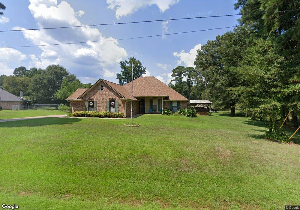
151 Twin Point Dr Benton, LA 71006
Linton-Midway NeighborhoodEstimated Value: $345,188 - $389,000
Studio
--
Bath
2,061
Sq Ft
$178/Sq Ft
Est. Value
About This Home
This home is located at 151 Twin Point Dr, Benton, LA 71006 and is currently estimated at $367,797, approximately $178 per square foot. 151 Twin Point Dr is a home located in Bossier Parish with nearby schools including Benton Elementary School, Benton Middle School, and Benton High School.
Ownership History
Date
Name
Owned For
Owner Type
Purchase Details
Closed on
Feb 14, 2014
Sold by
Price Herman Leamon and Price Kathryn Duncan
Bought by
Coulter Jerry Wayne
Current Estimated Value
Home Financials for this Owner
Home Financials are based on the most recent Mortgage that was taken out on this home.
Original Mortgage
$189,000
Outstanding Balance
$143,973
Interest Rate
4.55%
Mortgage Type
Unknown
Estimated Equity
$223,824
Create a Home Valuation Report for This Property
The Home Valuation Report is an in-depth analysis detailing your home's value as well as a comparison with similar homes in the area
Home Values in the Area
Average Home Value in this Area
Purchase History
| Date | Buyer | Sale Price | Title Company |
|---|---|---|---|
| Coulter Jerry Wayne | $210,000 | Bayou Title Inc |
Source: Public Records
Mortgage History
| Date | Status | Borrower | Loan Amount |
|---|---|---|---|
| Open | Coulter Jerry Wayne | $189,000 |
Source: Public Records
Tax History
| Year | Tax Paid | Tax Assessment Tax Assessment Total Assessment is a certain percentage of the fair market value that is determined by local assessors to be the total taxable value of land and additions on the property. | Land | Improvement |
|---|---|---|---|---|
| 2024 | $2,108 | $24,808 | $3,500 | $21,308 |
| 2023 | $1,801 | $21,405 | $3,500 | $17,905 |
| 2022 | $1,792 | $21,405 | $3,500 | $17,905 |
| 2021 | $1,764 | $21,405 | $3,500 | $17,905 |
| 2020 | $1,764 | $21,405 | $3,500 | $17,905 |
| 2019 | $1,738 | $21,027 | $3,500 | $17,527 |
| 2018 | $1,738 | $21,030 | $3,500 | $17,530 |
| 2017 | $1,719 | $21,030 | $3,500 | $17,530 |
| 2016 | $1,719 | $21,030 | $3,500 | $17,530 |
| 2015 | $1,491 | $19,910 | $2,290 | $17,620 |
| 2014 | $1,489 | $19,910 | $2,290 | $17,620 |
Source: Public Records
Map
Nearby Homes
- 522 Twin Point Dr
- 1401 Linton Rd
- 115 Barnes Dr
- 5046 Linton Cutoff Rd
- 0 Downs Dr
- 49 Turtle Creek Dr
- 37 Turtle Creek Dr
- 35 Turtle Creek Dr
- 33 Turtle Creek Dr
- 53 Turtle Creek Dr
- 23 Turtle Creek Dr
- 50 Turtle Creek Dr
- 2859 Hillcrest Cir
- 90 Turtle Creek Dr
- 66 Turtle Creek Dr
- 76 Turtle Creek Dr
- 67 Turtle Creek Dr
- 81 Turtle Creek Dr
- 79 Turtle Creek Dr
- 75 Turtle Creek Dr
- 102 Cypress Point Ln
- 108 Cypress Point Ln
- 146 Twin Point Dr
- 165 Twin Point Dr
- 158 Twin Point Dr
- 139 Twin Point Dr
- 140 Twin Point Dr
- 107 Cypress Point Ln
- 430 Lintwin Cir
- 424 Lintwin Cir
- 112 Cypress Point Ln
- 137 Twin Point Dr
- 204 Twin Point Dr
- 506 Twin Point Dr
- 118 Cypress Point Ln
- 512 Twin Point Dr
- 418 Lintwin Cir
- 136 Twin Point Dr
- 224 Twin Point Dr
- 111 Cypress Point Ln
Your Personal Tour Guide
Ask me questions while you tour the home.