15100 Jughandle Rd Minooka, IL 60447
North Minooka NeighborhoodEstimated Value: $334,000 - $479,145
3
Beds
2
Baths
1,775
Sq Ft
$243/Sq Ft
Est. Value
About This Home
This home is located at 15100 Jughandle Rd, Minooka, IL 60447 and is currently estimated at $431,286, approximately $242 per square foot. 15100 Jughandle Rd is a home located in Kendall County with nearby schools including Jones Elementary School, Minooka Junior High School, and Minooka Intermediate School.
Ownership History
Date
Name
Owned For
Owner Type
Purchase Details
Closed on
Jul 10, 2018
Sold by
Spencer Brian and Estate Of Carol A Spencer
Bought by
Haase Douglas
Current Estimated Value
Home Financials for this Owner
Home Financials are based on the most recent Mortgage that was taken out on this home.
Original Mortgage
$218,960
Outstanding Balance
$192,804
Interest Rate
5.25%
Mortgage Type
FHA
Estimated Equity
$238,482
Create a Home Valuation Report for This Property
The Home Valuation Report is an in-depth analysis detailing your home's value as well as a comparison with similar homes in the area
Home Values in the Area
Average Home Value in this Area
Purchase History
| Date | Buyer | Sale Price | Title Company |
|---|---|---|---|
| Haase Douglas | $223,000 | Chicago Title |
Source: Public Records
Mortgage History
| Date | Status | Borrower | Loan Amount |
|---|---|---|---|
| Open | Haase Douglas | $218,960 |
Source: Public Records
Tax History Compared to Growth
Tax History
| Year | Tax Paid | Tax Assessment Tax Assessment Total Assessment is a certain percentage of the fair market value that is determined by local assessors to be the total taxable value of land and additions on the property. | Land | Improvement |
|---|---|---|---|---|
| 2024 | $9,211 | $124,087 | $21,728 | $102,359 |
| 2023 | $7,469 | $112,191 | $20,693 | $91,498 |
| 2022 | $7,469 | $105,018 | $18,293 | $86,725 |
| 2021 | $7,257 | $100,096 | $18,572 | $81,524 |
| 2020 | $7,341 | $98,655 | $20,356 | $78,299 |
| 2019 | $7,211 | $89,367 | $19,516 | $69,851 |
| 2018 | $6,965 | $85,807 | $19,516 | $66,291 |
| 2017 | $6,737 | $81,164 | $18,436 | $62,728 |
| 2016 | $6,287 | $75,647 | $18,208 | $57,439 |
| 2015 | $3,166 | $75,647 | $18,208 | $57,439 |
| 2014 | -- | $69,880 | $18,208 | $51,672 |
| 2013 | -- | $69,880 | $18,208 | $51,672 |
Source: Public Records
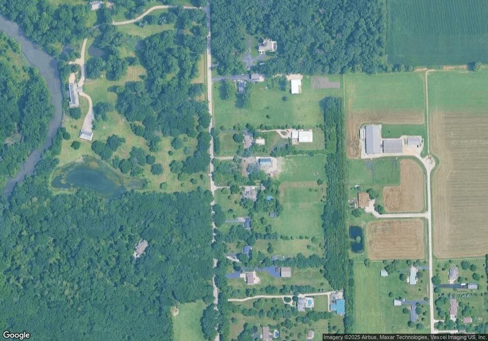
Map
Nearby Homes
- 1133 Coneflower Ct
- 2041 Isabella Ln
- 2033 Isabella
- 194 acres W Holt Rd
- Lot 1 Minooka Ridge & Jones Rd
- 814 Daniel Dr
- 8102 Wood River St
- 819 Daniel Dr
- 8010 Wood River St
- 409 Rockfish St
- 1419 Kettleson Dr
- 603 Briarcliff Dr
- 8508 Sawyer Ct
- 8513 Sawyer Ct
- 0 County Line Rd
- 00 County Line Rd
- 911 Bluebell Cir
- 8304 Coop Ave
- 8413 Eva Ave
- 1045 Heron Cir
- 15070 Jughandle Rd
- 15130 Jughandle Rd
- 15170 Jughandle Rd
- 15200 Jughandle Rd Unit 1
- 15004 Jughandle Rd
- 15240 Jughandle Rd
- 15205 Jughandle Rd
- 14970 Jughandle Rd
- 15280 Jughandle Rd Unit 1
- 15320 Jughandle Rd Unit 1
- 14925 Jughandle Rd
- 14825 Jughandle Rd
- 2259 Bell Rd Unit G
- 2259 Bell Rd Unit G
- 2259 Bell Rd Unit A
- 2259 Bell Rd Unit 2
- 2259 Bell Rd Unit C
- 2259 Bell Rd Unit D
- 2259 Bell Rd
- 15405 Jughandle Rd