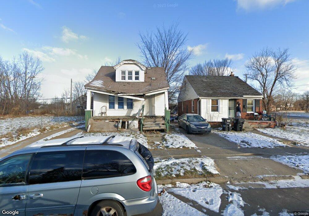
15101 Glenwood St Detroit, MI 48205
Maple Ridge NeighborhoodEstimated Value: $63,000 - $101,612
--
Bed
1
Bath
1,018
Sq Ft
$76/Sq Ft
Est. Value
About This Home
This home is located at 15101 Glenwood St, Detroit, MI 48205 and is currently estimated at $77,871, approximately $76 per square foot. 15101 Glenwood St is a home located in Wayne County with nearby schools including Edward 'Duke' Ellington Conservatory of Music and Art, Charles L. Spain Elementary-Middle School, and Denby High School.
Ownership History
Date
Name
Owned For
Owner Type
Purchase Details
Closed on
Jul 16, 2014
Sold by
The City Of Detroit
Bought by
The Detroit Land Bank Authority
Current Estimated Value
Purchase Details
Closed on
Jan 6, 2011
Sold by
Wojtowicz Raymond J
Bought by
Planning & Development Dept City Of Detr
Purchase Details
Closed on
Jun 17, 2009
Sold by
Davis Berlinda
Bought by
Nationwide Loan & Finance Llc
Purchase Details
Closed on
May 19, 2006
Sold by
Rogers Rocco
Bought by
Davis Berlinda
Create a Home Valuation Report for This Property
The Home Valuation Report is an in-depth analysis detailing your home's value as well as a comparison with similar homes in the area
Home Values in the Area
Average Home Value in this Area
Purchase History
| Date | Buyer | Sale Price | Title Company |
|---|---|---|---|
| The Detroit Land Bank Authority | -- | None Available | |
| Planning & Development Dept City Of Detr | -- | None Available | |
| Nationwide Loan & Finance Llc | $20,000 | None Available | |
| Davis Berlinda | $75,000 | Nations Title Agency Of Mi |
Source: Public Records
Tax History Compared to Growth
Tax History
| Year | Tax Paid | Tax Assessment Tax Assessment Total Assessment is a certain percentage of the fair market value that is determined by local assessors to be the total taxable value of land and additions on the property. | Land | Improvement |
|---|---|---|---|---|
| 2025 | -- | $0 | $0 | $0 |
| 2024 | -- | $0 | $0 | $0 |
| 2023 | $0 | $0 | $0 | $0 |
| 2022 | $0 | $0 | $0 | $0 |
| 2021 | $0 | $0 | $0 | $0 |
| 2020 | $1,136 | $0 | $0 | $0 |
| 2019 | $1,136 | $0 | $0 | $0 |
| 2018 | $0 | $0 | $0 | $0 |
| 2017 | -- | $0 | $0 | $0 |
| 2016 | $240 | $0 | $0 | $0 |
| 2015 | -- | $0 | $0 | $0 |
| 2013 | $1,136 | $0 | $0 | $0 |
| 2010 | -- | $17,451 | $814 | $16,637 |
Source: Public Records
Map
Nearby Homes
- 15227 Linnhurst St
- 15257 Faircrest St
- 15315 Park Grove St
- 15294 Saratoga St
- 15309 Mapleridge St
- 14895 Mapleridge St
- 14881 Mapleridge St
- 15430 Mapleridge St
- 15480 Saratoga St
- 14253 Fordham St
- 15243 Fordham St
- 15470 Mapleridge St
- 15241 Seymour St
- 15611 Mapleridge St
- 15018 Seymour St
- 18814 Morang Dr
- 18820 Morang Dr
- 15276 Seymour St
- 15269 Troester St
- 15646 Saratoga St
- 15095 Glenwood St
- 15107 Glenwood St
- 15115 Glenwood St
- 15087 Glenwood St
- 15112 Linnhurst St
- 15081 Glenwood St
- 15100 Linnhurst St
- 15094 Linnhurst St
- 15106 Linnhurst St
- 15086 Linnhurst St
- 15073 Glenwood St
- 15100 Glenwood St
- 15106 Glenwood St
- 15094 Glenwood St
- 15086 Glenwood St
- 15116 Glenwood St
- 15065 Glenwood St
- 15072 Linnhurst St
- 15080 Glenwood St
- 15201 Glenwood St