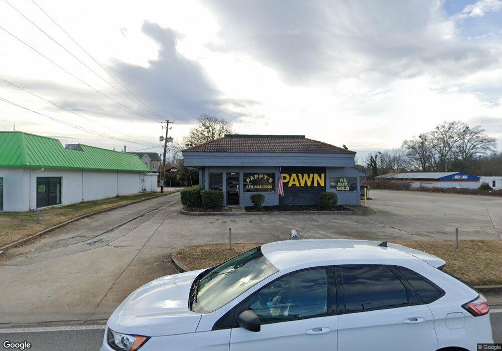
1511 Browns Bridge Rd Gainesville, GA 30501
Browns Bridge NeighborhoodEstimated Value: $580,668
--
Bed
--
Bath
3,075
Sq Ft
$189/Sq Ft
Est. Value
About This Home
This home is located at 1511 Browns Bridge Rd, Gainesville, GA 30501 and is currently estimated at $580,668, approximately $188 per square foot. 1511 Browns Bridge Rd is a home located in Hall County with nearby schools including Gainesville Exploration Academy, Gainesville High School, and Jubilee Christian Academy.
Ownership History
Date
Name
Owned For
Owner Type
Purchase Details
Closed on
Dec 3, 2014
Sold by
Southlake Corner Llc
Bought by
Hernandez Gustavo E Marroquin
Current Estimated Value
Purchase Details
Closed on
Jan 13, 2006
Sold by
Snack Inc
Bought by
Southlake Corner Llc
Purchase Details
Closed on
Feb 22, 2005
Sold by
Yopp James L
Bought by
Edwards Brock
Home Financials for this Owner
Home Financials are based on the most recent Mortgage that was taken out on this home.
Original Mortgage
$95,400
Interest Rate
5.68%
Mortgage Type
Commercial
Create a Home Valuation Report for This Property
The Home Valuation Report is an in-depth analysis detailing your home's value as well as a comparison with similar homes in the area
Home Values in the Area
Average Home Value in this Area
Purchase History
| Date | Buyer | Sale Price | Title Company |
|---|---|---|---|
| Hernandez Gustavo E Marroquin | $240,000 | -- | |
| Southlake Corner Llc | $480,000 | -- | |
| Edwards Brock | $106,000 | -- |
Source: Public Records
Mortgage History
| Date | Status | Borrower | Loan Amount |
|---|---|---|---|
| Previous Owner | Edwards Brock | $95,400 |
Source: Public Records
Tax History Compared to Growth
Tax History
| Year | Tax Paid | Tax Assessment Tax Assessment Total Assessment is a certain percentage of the fair market value that is determined by local assessors to be the total taxable value of land and additions on the property. | Land | Improvement |
|---|---|---|---|---|
| 2025 | $6,568 | $231,000 | $172,200 | $58,800 |
| 2024 | $6,181 | $215,840 | $172,200 | $43,640 |
| 2023 | $866 | $215,840 | $172,200 | $43,640 |
| 2022 | $964 | $204,520 | $172,200 | $32,320 |
| 2021 | $1,065 | $204,520 | $172,200 | $32,320 |
| 2020 | $6,148 | $204,520 | $172,200 | $32,320 |
| 2019 | $5,365 | $175,840 | $143,520 | $32,320 |
| 2018 | $5,510 | $175,120 | $143,520 | $31,600 |
Source: Public Records
Map
Nearby Homes
- 593 Shallowford Rd NW
- 0 Hilton Dr Unit 10529633
- 0 Hilton Dr Unit 7585721
- 2054 Spring Rd
- 1255 Purina Dr
- 221 Shallowford Dr
- 2244 Bennett Cir
- 510 Nightfire Ct SW
- 518 Nightfire Ct SW
- 1122 Villa Clara Way
- 775 Ridgewood Ave
- 1636 Atlanta Hwy
- #25 3022 Waterford Dr
- 110 Summit St SE
- 3022 Waterford Dr
- 804 Wilshire Rd
- 601 Ridgewood Ave
- 810 Hillside Dr
- 384 Forrest Ave
- 372 Forrest Ave
- 1507 Browns Bridge Rd
- 1517 Browns Bridge Rd
- 1506 Westside Dr
- 1512 W Carter St
- 1508 Westside Dr
- 1510 Westside Dr
- 1511 Westside Dr
- 1426 Westside Dr
- 1422 Westside Dr
- 1422 Westside Dr
- 2400 SW West Carter St
- 2400 W Carter St
- 1424 Westside Dr
- 1505 Westside Dr
- 1602 Westside Dr
- 1521 Westside Dr
- 12 Tate St
- 1501 Westside Dr
- 1606 Westside Dr
- 1407 Browns Bridge Rd