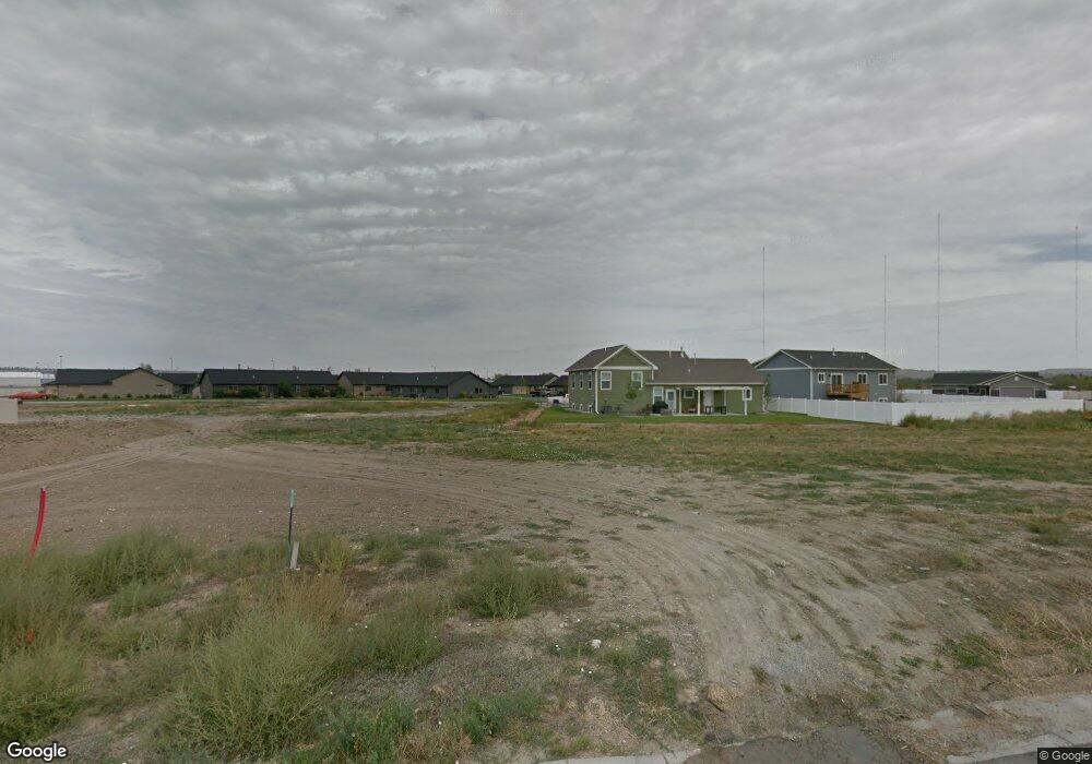
1511 Ruby Range Way Billings, MT 59101
South Central Billings NeighborhoodEstimated Value: $419,000 - $443,000
3
Beds
2
Baths
1,503
Sq Ft
$284/Sq Ft
Est. Value
About This Home
This home is located at 1511 Ruby Range Way, Billings, MT 59101 and is currently estimated at $427,587, approximately $284 per square foot. 1511 Ruby Range Way is a home with nearby schools including Elysian Elementary School, Elysian School, and Billings West High School.
Ownership History
Date
Name
Owned For
Owner Type
Purchase Details
Closed on
Apr 3, 2020
Sold by
Johns Ronald L
Bought by
Studiner Michael J and Klapmeler Madyson R
Current Estimated Value
Home Financials for this Owner
Home Financials are based on the most recent Mortgage that was taken out on this home.
Original Mortgage
$276,450
Outstanding Balance
$244,901
Interest Rate
3.4%
Mortgage Type
New Conventional
Estimated Equity
$182,686
Purchase Details
Closed on
May 16, 2017
Sold by
Wagenhals Enterprises Inc
Bought by
Johns Ronald L and Johns Mary J
Home Financials for this Owner
Home Financials are based on the most recent Mortgage that was taken out on this home.
Original Mortgage
$277,713
Interest Rate
3.37%
Mortgage Type
FHA
Create a Home Valuation Report for This Property
The Home Valuation Report is an in-depth analysis detailing your home's value as well as a comparison with similar homes in the area
Home Values in the Area
Average Home Value in this Area
Purchase History
| Date | Buyer | Sale Price | Title Company |
|---|---|---|---|
| Studiner Michael J | -- | First Montana Title Co | |
| Johns Ronald L | -- | None Available |
Source: Public Records
Mortgage History
| Date | Status | Borrower | Loan Amount |
|---|---|---|---|
| Open | Studiner Michael J | $276,450 | |
| Previous Owner | Johns Ronald L | $277,713 |
Source: Public Records
Tax History
| Year | Tax Paid | Tax Assessment Tax Assessment Total Assessment is a certain percentage of the fair market value that is determined by local assessors to be the total taxable value of land and additions on the property. | Land | Improvement |
|---|---|---|---|---|
| 2025 | $2,897 | $417,200 | $59,816 | $357,384 |
| 2024 | $2,897 | $340,400 | $74,110 | $266,290 |
| 2023 | $2,962 | $340,400 | $74,110 | $266,290 |
| 2022 | $2,931 | $302,500 | $0 | $0 |
| 2021 | $2,658 | $299,500 | $0 | $0 |
| 2020 | $2,779 | $289,700 | $0 | $0 |
| 2019 | $2,642 | $289,700 | $0 | $0 |
| 2018 | $2,518 | $266,300 | $0 | $0 |
| 2017 | $1,404 | $139,580 | $0 | $0 |
| 2016 | $548 | $54,956 | $0 | $0 |
| 2015 | $534 | $54,956 | $0 | $0 |
| 2014 | $491 | $26,162 | $0 | $0 |
Source: Public Records
Map
Nearby Homes
- 5327 Frontier Dr Unit 2
- 5255 Golden Hollow Rd
- 5233 Golden Hollow Rd
- 5437 Frontier Dr
- 5238 Golden Hollow Rd
- 1616 Island View Dr
- 1736 Stony Meadow Ln
- 1868 Songbird Dr
- 1904 Songbird Dr
- 1925 Stony Meadow Ln
- 44 Nimitz Dr
- 6102 Northstead Ave Unit 202
- 6102 Northstead Ave Unit 201
- 1831 Walter Creek Blvd
- 1806 Walter Creek Blvd
- 6108 Northstead Ave Unit 201
- 6108 Northstead Ave Unit 202
- 6135 Mollie Rose Ln
- 6046 Norma Jean Ln
- 2503 Blue Creek Rd
- 1515 Ruby Range Way
- 1507 Ruby Range Way
- 5234 Frontier Dr
- 5236 Frontier Dr
- 1519 Ruby Range Way
- 5308 Denali Dr
- 1510 Ruby Range Way
- 5218 Frontier Dr
- 5240 Frontier Dr
- 1506 Ruby Range Way
- 1514 Ruby Range Way
- 5304 Denali Dr
- 5302 Denali Dr
- 5314 Denali Dr
- 1528 Ruby Range Way
- 1404 River Point Loop
- 5309 Denali Dr
- 1527 Snowy River Ln
- 1401 #1 River Point Loop
- 1514 Prairie Meadow Ln
Your Personal Tour Guide
Ask me questions while you tour the home.