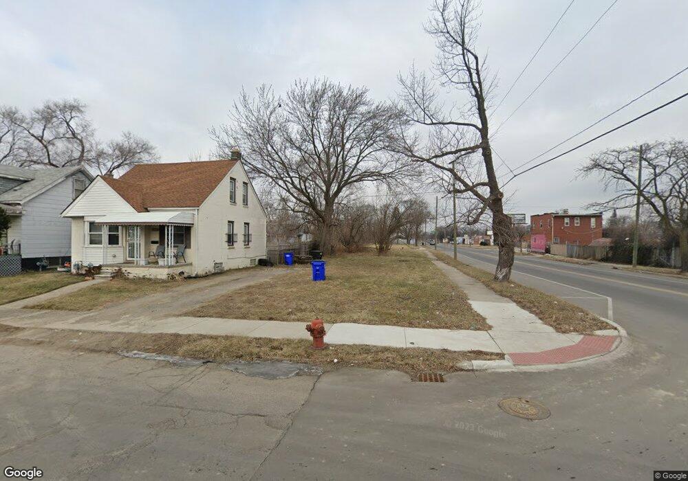
15115 Linnhurst St Detroit, MI 48205
Maple Ridge NeighborhoodEstimated Value: $76,000 - $104,000
3
Beds
1
Bath
1,200
Sq Ft
$75/Sq Ft
Est. Value
About This Home
This home is located at 15115 Linnhurst St, Detroit, MI 48205 and is currently estimated at $90,000, approximately $75 per square foot. 15115 Linnhurst St is a home located in Wayne County with nearby schools including Edward 'Duke' Ellington Conservatory of Music and Art, Charles L. Spain Elementary-Middle School, and Denby High School.
Ownership History
Date
Name
Owned For
Owner Type
Purchase Details
Closed on
Jan 23, 2014
Sold by
Wayne County Treasurer
Bought by
Detroit Landbank Authority
Current Estimated Value
Purchase Details
Closed on
Aug 16, 2007
Sold by
Todd Johnnie and Todd Catherine
Bought by
The Cit Group Consumer Finance Inc
Purchase Details
Closed on
Jun 7, 2006
Sold by
Todd Catherine and Shipp Catherine
Bought by
Todd Johnnie
Home Financials for this Owner
Home Financials are based on the most recent Mortgage that was taken out on this home.
Original Mortgage
$73,600
Interest Rate
6.72%
Mortgage Type
Stand Alone Refi Refinance Of Original Loan
Create a Home Valuation Report for This Property
The Home Valuation Report is an in-depth analysis detailing your home's value as well as a comparison with similar homes in the area
Home Values in the Area
Average Home Value in this Area
Purchase History
| Date | Buyer | Sale Price | Title Company |
|---|---|---|---|
| Detroit Landbank Authority | -- | None Available | |
| The Cit Group Consumer Finance Inc | $103,963 | None Available | |
| Todd Johnnie | -- | Abstract Title Agency |
Source: Public Records
Mortgage History
| Date | Status | Borrower | Loan Amount |
|---|---|---|---|
| Previous Owner | Todd Johnnie | $73,600 |
Source: Public Records
Tax History Compared to Growth
Tax History
| Year | Tax Paid | Tax Assessment Tax Assessment Total Assessment is a certain percentage of the fair market value that is determined by local assessors to be the total taxable value of land and additions on the property. | Land | Improvement |
|---|---|---|---|---|
| 2025 | -- | $0 | $0 | $0 |
| 2024 | -- | $0 | $0 | $0 |
| 2023 | $0 | $0 | $0 | $0 |
| 2022 | $0 | $0 | $0 | $0 |
| 2021 | $0 | $0 | $0 | $0 |
| 2020 | $1,832 | $0 | $0 | $0 |
| 2019 | $1,832 | $0 | $0 | $0 |
| 2018 | $0 | $0 | $0 | $0 |
| 2017 | -- | $0 | $0 | $0 |
| 2016 | $240 | $0 | $0 | $0 |
| 2015 | $1,626 | $0 | $0 | $0 |
| 2013 | $1,626 | $16,255 | $0 | $0 |
| 2010 | -- | $23,833 | $750 | $23,083 |
Source: Public Records
Map
Nearby Homes
- 15227 Linnhurst St
- 15257 Faircrest St
- 15294 Saratoga St
- 15315 Park Grove St
- 15243 Fordham St
- 14253 Fordham St
- 15480 Saratoga St
- 15309 Mapleridge St
- 14895 Mapleridge St
- 14881 Mapleridge St
- 18820 Morang Dr
- 15430 Mapleridge St
- 18814 Morang Dr
- 14916 Maddelein St
- 15470 Mapleridge St
- 15596 Eastwood St
- 15646 Saratoga St
- 15241 Seymour St
- 15611 Mapleridge St
- 15018 Seymour St
- 15109 Linnhurst St
- 15101 Linnhurst St
- 15095 Linnhurst St
- 15116 Faircrest St
- 15106 Faircrest St
- 15106 Linnhurst St
- 15094 Faircrest St
- 15100 Linnhurst St
- 15219 Linnhurst St
- 15081 Linnhurst St
- 15086 Faircrest St
- 15094 Linnhurst St
- 15206 Linnhurst St
- 15112 Linnhurst St
- 15086 Linnhurst St
- 15216 Linnhurst St
- 15115 Glenwood St
- 15220 Linnhurst St
- 15226 Faircrest St
- 15072 Linnhurst St