1512 D Ponder Rd Bartow, GA 30413
Estimated Value: $277,000 - $360,000
--
Bed
4
Baths
3,082
Sq Ft
$103/Sq Ft
Est. Value
About This Home
This home is located at 1512 D Ponder Rd, Bartow, GA 30413 and is currently estimated at $317,656, approximately $103 per square foot. 1512 D Ponder Rd is a home located in Jefferson County with nearby schools including Jefferson County High School.
Ownership History
Date
Name
Owned For
Owner Type
Purchase Details
Closed on
May 26, 2021
Sold by
Arrington Panda C
Bought by
Arrington Panda C and Arrington James E
Current Estimated Value
Home Financials for this Owner
Home Financials are based on the most recent Mortgage that was taken out on this home.
Original Mortgage
$66,000
Outstanding Balance
$38,704
Interest Rate
2.9%
Mortgage Type
New Conventional
Estimated Equity
$278,952
Purchase Details
Closed on
Nov 13, 2012
Sold by
Williams Panda C
Bought by
Arrington Panda C
Create a Home Valuation Report for This Property
The Home Valuation Report is an in-depth analysis detailing your home's value as well as a comparison with similar homes in the area
Home Values in the Area
Average Home Value in this Area
Purchase History
| Date | Buyer | Sale Price | Title Company |
|---|---|---|---|
| Arrington Panda C | -- | -- | |
| Arrington Panda C | -- | -- |
Source: Public Records
Mortgage History
| Date | Status | Borrower | Loan Amount |
|---|---|---|---|
| Open | Arrington Panda C | $66,000 |
Source: Public Records
Tax History Compared to Growth
Tax History
| Year | Tax Paid | Tax Assessment Tax Assessment Total Assessment is a certain percentage of the fair market value that is determined by local assessors to be the total taxable value of land and additions on the property. | Land | Improvement |
|---|---|---|---|---|
| 2024 | $3,032 | $101,832 | $5,066 | $96,766 |
| 2023 | $3,054 | $95,962 | $8,894 | $87,068 |
| 2022 | $2,654 | $83,523 | $8,894 | $74,629 |
| 2021 | $2,673 | $80,733 | $7,411 | $73,322 |
| 2020 | $2,660 | $80,085 | $7,411 | $72,674 |
| 2019 | $2,673 | $79,082 | $7,411 | $71,671 |
| 2018 | $2,631 | $76,551 | $7,041 | $69,510 |
| 2017 | $2,624 | $76,180 | $6,670 | $69,510 |
Source: Public Records
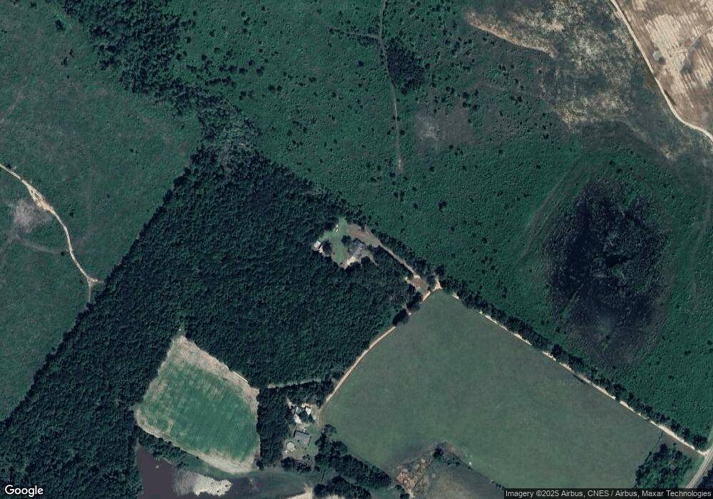
Map
Nearby Homes
- 0 Broad St E Unit 10593868
- 1341 Ga Highway 171 N
- 470 Forrest Dr
- 0000 Pine St
- 311 E Broad St
- 0 Georgia 24
- 401 W Broad St
- 716 Screven St
- 802 Mulberry St
- 818 Walnut St
- 605 Midville Rd
- 836 Mimosa Dr
- 0 Laurel Dr
- * U S Route 1
- 0 Friendship Church Rd Unit 20193056
- 315 Forest St
- 0 Middle Ground Rd Unit 540363
- 0 Middle Ground Rd Unit 10497061
- 0 N Highway 1 Unit 10595910
- 0 N Highway 1 Unit 7642159
- 1514 D Ponder Rd
- 1790 D Ponder Rd
- 1297 Flat Field Rd
- 1679 D Ponder Rd
- 1717 D Ponder Rd
- 0 Old Bartow Rd
- 1166 Punk Tarver Rd
- 1135 D Ponder Rd
- 1162 Punk Tarver Rd
- 2062 Bostic Mill Rd
- 1264 Punk Tarver Rd
- 1226 Punk Tarver Rd
- 1873 D Ponder Rd
- 1358 Punk Tarver Rd
- 2165 D Ponder Rd
- 2165 Old Bartow Rd
- 2160 Bostic Mill Rd
- 2196 Bostic Mill Rd
- 2286 Bostic Mill Rd
- 2315 D Ponder Rd