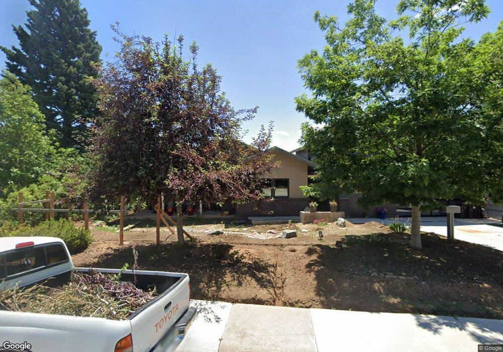
1512 High St Boulder, CO 80304
Whittier NeighborhoodEstimated Value: $2,936,435 - $3,223,000
4
Beds
3
Baths
3,196
Sq Ft
$965/Sq Ft
Est. Value
About This Home
This home is located at 1512 High St, Boulder, CO 80304 and is currently estimated at $3,084,109, approximately $964 per square foot. 1512 High St is a home located in Boulder County with nearby schools including Whittier Elementary School, Casey Middle School, and Boulder High School.
Ownership History
Date
Name
Owned For
Owner Type
Purchase Details
Closed on
Oct 20, 2004
Sold by
Newton Nancy E
Bought by
Reed Leslie A
Current Estimated Value
Home Financials for this Owner
Home Financials are based on the most recent Mortgage that was taken out on this home.
Original Mortgage
$802,400
Outstanding Balance
$390,178
Interest Rate
5.5%
Mortgage Type
Purchase Money Mortgage
Estimated Equity
$2,693,932
Purchase Details
Closed on
Jun 15, 1992
Bought by
Reed Leslie A and Reed Gregory S
Purchase Details
Closed on
Mar 26, 1986
Bought by
Reed Leslie A and Reed Gregory S
Purchase Details
Closed on
Feb 25, 1986
Bought by
Reed Leslie A and Reed Gregory S
Purchase Details
Closed on
Jan 23, 1985
Bought by
Reed Leslie A and Reed Gregory S
Create a Home Valuation Report for This Property
The Home Valuation Report is an in-depth analysis detailing your home's value as well as a comparison with similar homes in the area
Home Values in the Area
Average Home Value in this Area
Purchase History
| Date | Buyer | Sale Price | Title Company |
|---|---|---|---|
| Reed Leslie A | $1,003,000 | Fahtco | |
| Newton Nancy E | -- | Fahtco | |
| Reed Leslie A | $89,500 | -- | |
| Reed Leslie A | -- | -- | |
| Reed Leslie A | -- | -- | |
| Reed Leslie A | -- | -- |
Source: Public Records
Mortgage History
| Date | Status | Borrower | Loan Amount |
|---|---|---|---|
| Open | Reed Leslie A | $802,400 | |
| Closed | Reed Leslie A | $47,600 |
Source: Public Records
Tax History Compared to Growth
Tax History
| Year | Tax Paid | Tax Assessment Tax Assessment Total Assessment is a certain percentage of the fair market value that is determined by local assessors to be the total taxable value of land and additions on the property. | Land | Improvement |
|---|---|---|---|---|
| 2025 | $17,794 | $189,381 | $99,956 | $89,425 |
| 2024 | $17,794 | $189,381 | $99,956 | $89,425 |
| 2023 | $17,485 | $209,174 | $104,889 | $107,971 |
| 2022 | $14,104 | $151,878 | $79,619 | $72,259 |
| 2021 | $13,449 | $156,249 | $81,910 | $74,339 |
| 2020 | $11,707 | $134,499 | $73,645 | $60,854 |
| 2019 | $11,528 | $134,499 | $73,645 | $60,854 |
| 2018 | $9,860 | $113,731 | $50,760 | $62,971 |
| 2017 | $9,552 | $125,736 | $56,118 | $69,618 |
| 2016 | $8,929 | $103,146 | $44,258 | $58,888 |
| 2015 | $8,455 | $96,953 | $41,790 | $55,163 |
| 2014 | $8,152 | $96,953 | $41,790 | $55,163 |
Source: Public Records
Map
Nearby Homes
- 1450 High St
- 1526 Sunset Blvd
- 1709 Pine St Unit 3
- 1557 North St
- 1303 Alpine Ave Unit 24A
- 1111 Maxwell Ave
- 1111 Maxwell Ave Unit 212
- 2130 11th St
- 1655 Walnut St Unit 309
- 1895 Alpine Ave Unit G21
- 1895 Alpine Ave Unit E18
- 780 Alpine Ave
- 1707 Walnut St Unit 203
- 1707 Walnut St Unit 209
- 1707 Walnut St Unit 307
- 1707 Walnut St Unit 208
- 1707 Walnut St Unit 308
- 1707 Walnut St Unit 101
- 1707 Walnut St Unit 103
- 1707 Walnut St Unit 207
- 1540 High St
- 1505 Mapleton Ave
- 1515 Mapleton Ave
- 1443 Mapleton Ave
- 1440 High St
- 1400 Sunset Blvd
- 1531 Mapleton Ave
- 1439 Mapleton Ave
- 1542 High St
- 1437 Mapleton Ave
- 1515 High St
- 1430 High St
- 1535 High St
- 1427 Mapleton Ave
- 1491 High St
- 1420 Sunset Blvd
- 1550 High St
- 1419 Mapleton Ave
- 1510 Mapleton Ave
- 1545 High St