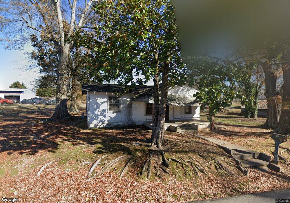
1512 W Carter St Gainesville, GA 30501
Browns Bridge NeighborhoodEstimated Value: $146,000 - $256,000
3
Beds
1
Bath
923
Sq Ft
$205/Sq Ft
Est. Value
About This Home
This home is located at 1512 W Carter St, Gainesville, GA 30501 and is currently estimated at $189,336, approximately $205 per square foot. 1512 W Carter St is a home located in Hall County with nearby schools including Lyman Hall Elementary School, West Hall Middle School, and West Hall High School.
Ownership History
Date
Name
Owned For
Owner Type
Purchase Details
Closed on
May 21, 2024
Sold by
David Pierce Family Lp
Bought by
Maruri Arturo
Current Estimated Value
Purchase Details
Closed on
Aug 31, 2023
Sold by
Pierce Family Lp
Bought by
David Pierce Family Lp
Purchase Details
Closed on
Jun 7, 2000
Sold by
Pierce Marjorie F
Bought by
Pierce Family L P
Create a Home Valuation Report for This Property
The Home Valuation Report is an in-depth analysis detailing your home's value as well as a comparison with similar homes in the area
Home Values in the Area
Average Home Value in this Area
Purchase History
| Date | Buyer | Sale Price | Title Company |
|---|---|---|---|
| Maruri Arturo | $2,000,000 | -- | |
| David Pierce Family Lp | -- | -- | |
| David Pierce Family Lp | $86,000 | -- | |
| Pierce Charles Duane | -- | -- | |
| Pierce Family L P | -- | -- |
Source: Public Records
Tax History
| Year | Tax Paid | Tax Assessment Tax Assessment Total Assessment is a certain percentage of the fair market value that is determined by local assessors to be the total taxable value of land and additions on the property. | Land | Improvement |
|---|---|---|---|---|
| 2025 | $556 | $20,200 | $18,200 | $2,000 |
| 2024 | $1,093 | $41,280 | $15,680 | $25,600 |
| 2023 | $878 | $31,200 | $15,680 | $15,520 |
| 2022 | $584 | $19,800 | $9,240 | $10,560 |
| 2021 | $456 | $14,520 | $7,360 | $7,160 |
| 2020 | $482 | $15,080 | $7,360 | $7,720 |
| 2019 | $541 | $17,120 | $7,360 | $9,760 |
| 2018 | $513 | $15,560 | $7,360 | $8,200 |
| 2017 | $505 | $15,440 | $7,360 | $8,080 |
| 2016 | $421 | $12,724 | $7,360 | $5,364 |
| 2015 | $369 | $10,724 | $5,360 | $5,364 |
| 2014 | $369 | $10,724 | $5,360 | $5,364 |
Source: Public Records
Map
Nearby Homes
- 593 Shallowford Rd NW
- 1639 Whiting Dr
- 4171 Millstone Park Ln
- 0 Hilton Dr Unit 10529633
- 0 Hilton Southwest Dr Unit 7697592
- 2054 Spring Rd
- 1255 Purina Dr
- 2147 Spring Rd
- 221 Shallowford Dr
- 2244 Bennett Cir
- 2180 Spring Rd
- 1122 Villa Clara Way
- 518 Nightfire Ct SW
- 515 Nightfire Ct SW
- 510 Nightfire Ct SW
- 705 Oak St
- 1636 Atlanta Hwy
- 354 Clarendon Ct SE
- #25 3022 Waterford Dr
- 3022 Waterford Dr
- 1517 Browns Bridge Rd
- 1511 Westside Dr
- 1510 Westside Dr
- 2400 SW West Carter St
- 2400 W Carter St
- 1602 Westside Dr
- 1508 Westside Dr
- 1506 Westside Dr
- 1511 Browns Bridge Rd
- 1606 Westside Dr
- 1507 Browns Bridge Rd
- 12 Tate St
- 1505 Westside Dr
- 1521 Westside Dr
- 1606 Lyman St
- 1501 Westside Dr
- 10 Tate St
- 1426 Westside Dr
- 1610 Lyman St
- 1538 Lyman St