15127 Wilson Peak Rd Pine, CO 80470
Pine Junction Area NeighborhoodEstimated Value: $1,590,000 - $1,907,000
3
Beds
3
Baths
4,731
Sq Ft
$368/Sq Ft
Est. Value
About This Home
This home is located at 15127 Wilson Peak Rd, Pine, CO 80470 and is currently estimated at $1,739,750, approximately $367 per square foot. 15127 Wilson Peak Rd is a home located in Jefferson County with nearby schools including Elk Creek Elementary School, West Jefferson Middle School, and Conifer Senior High School.
Ownership History
Date
Name
Owned For
Owner Type
Purchase Details
Closed on
Nov 21, 2025
Sold by
Fathalikhani Hadi
Bought by
Fathalikhani Family Trust
Current Estimated Value
Purchase Details
Closed on
Jun 9, 2022
Sold by
Benson Family Trust
Bought by
Fathalikhani Hadi and Fathalikhani Faye
Home Financials for this Owner
Home Financials are based on the most recent Mortgage that was taken out on this home.
Original Mortgage
$500,000
Interest Rate
5.27%
Mortgage Type
New Conventional
Purchase Details
Closed on
Aug 1, 2019
Sold by
Johnson Richard P and Johnson Jeanette D
Bought by
Benson Family Trust
Purchase Details
Closed on
Jun 14, 2010
Sold by
Pine Gulch Development Llc
Bought by
Johnson Richard P and Johnson Jeanette D
Create a Home Valuation Report for This Property
The Home Valuation Report is an in-depth analysis detailing your home's value as well as a comparison with similar homes in the area
Home Values in the Area
Average Home Value in this Area
Purchase History
| Date | Buyer | Sale Price | Title Company |
|---|---|---|---|
| Fathalikhani Family Trust | -- | None Listed On Document | |
| Fathalikhani Hadi | $1,750,000 | None Listed On Document | |
| Benson Family Trust | $1,125,000 | Land Title Guarantee Co | |
| Johnson Richard P | $215,000 | Chicago Title Co |
Source: Public Records
Mortgage History
| Date | Status | Borrower | Loan Amount |
|---|---|---|---|
| Previous Owner | Fathalikhani Hadi | $500,000 |
Source: Public Records
Tax History
| Year | Tax Paid | Tax Assessment Tax Assessment Total Assessment is a certain percentage of the fair market value that is determined by local assessors to be the total taxable value of land and additions on the property. | Land | Improvement |
|---|---|---|---|---|
| 2024 | $8,268 | $95,374 | $27,238 | $68,136 |
| 2023 | $8,268 | $95,374 | $27,238 | $68,136 |
| 2022 | $6,712 | $75,867 | $25,610 | $50,257 |
| 2021 | $6,804 | $78,050 | $26,347 | $51,703 |
| 2020 | $5,656 | $65,073 | $15,975 | $49,098 |
| 2019 | $5,468 | $65,073 | $15,975 | $49,098 |
| 2018 | $5,005 | $59,901 | $13,927 | $45,974 |
| 2017 | $4,528 | $59,901 | $13,927 | $45,974 |
| 2016 | $4,704 | $40,805 | $16,567 | $24,238 |
| 2015 | $2,428 | $40,805 | $16,567 | $24,238 |
| 2014 | $2,428 | $27,968 | $27,968 | $0 |
Source: Public Records
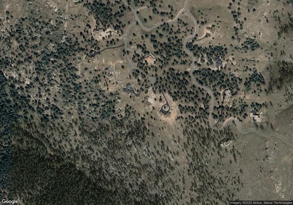
Map
Nearby Homes
- 33550 Mount Wilson Trail
- 33885 La Plata Ln
- 33476 La Plata Ln
- 33888 Mineral Ln
- 33958 Running Bear Trail
- 14803 S Wandcrest Dr
- 14271 Jubilee Trail
- 6 Turret Peak Trail
- 663 Brookside Dr
- 114 Star Ln
- 31266 Half Peak Trail
- 31455 Half Peak Trail
- 665 Impala Trail
- 638 Impala Trail
- 150557 Cochise Trail
- 13851 Pine Valley Rd
- 987 Wisp Creek Dr
- 34431 Chilton Ave
- 34697 Silver Springs Blvd
- 819 Hi Meadow Dr
- 15127 Wilson Peak Rd
- 15147 Wilson Peak Rd
- 15146 Wilson Peak Rd
- 15057 Wilson Peak Rd
- 15066 Wilson Peak Rd
- 14977 Wilson Peak Rd
- 14977 Wilson Peak Rd
- 14954 Wetterhorn Peak Trail
- 14934 Wetterhorn Peak Trail
- 14937 Wilson Peak Rd
- 14965 Wetterhorn Peak Trail
- 14914 Wetterhorn Peak Trail
- 33519 Mount Wilson Rd
- 33539 Mount Wilson Rd
- 33530 Mount Wilson Trail
- 14884 Wetterhorn Peak Trail Unit 28
- 14884 Wetterhorn Peak Trail
- 33328 Persistence Ave
- 33348 Persistence Ave
- 33550 Mount Wilson Rd
Your Personal Tour Guide
Ask me questions while you tour the home.