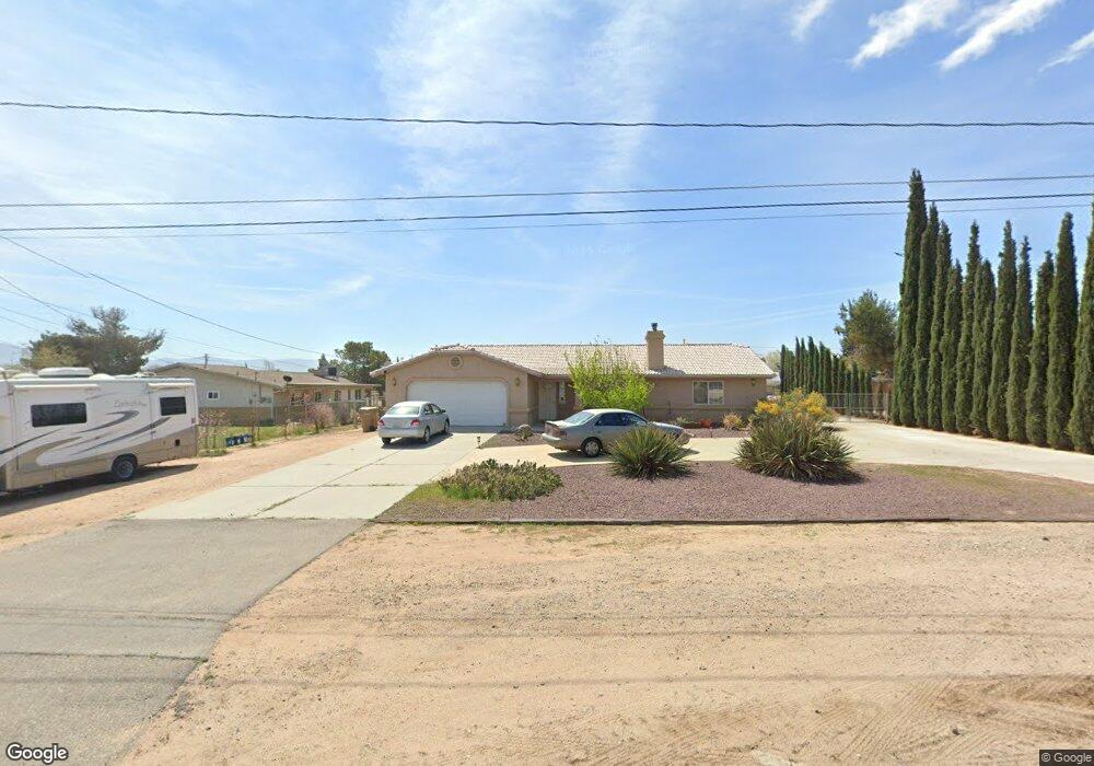
15131 Wells Fargo St Hesperia, CA 92345
Estimated Value: $467,000 - $486,000
3
Beds
2
Baths
1,624
Sq Ft
$291/Sq Ft
Est. Value
About This Home
This home is located at 15131 Wells Fargo St, Hesperia, CA 92345 and is currently estimated at $473,197, approximately $291 per square foot. 15131 Wells Fargo St is a home located in San Bernardino County with nearby schools including Cottonwood Elementary School, Cedar Middle School, and Oak Hills High School.
Ownership History
Date
Name
Owned For
Owner Type
Purchase Details
Closed on
Jan 25, 2002
Sold by
Arias Michael D
Bought by
Beckwith Jeffery and Beckwith Cheryl
Current Estimated Value
Home Financials for this Owner
Home Financials are based on the most recent Mortgage that was taken out on this home.
Original Mortgage
$101,600
Outstanding Balance
$41,654
Interest Rate
6.94%
Estimated Equity
$431,543
Create a Home Valuation Report for This Property
The Home Valuation Report is an in-depth analysis detailing your home's value as well as a comparison with similar homes in the area
Home Values in the Area
Average Home Value in this Area
Purchase History
| Date | Buyer | Sale Price | Title Company |
|---|---|---|---|
| Beckwith Jeffery | $127,000 | Chicago Title Co |
Source: Public Records
Mortgage History
| Date | Status | Borrower | Loan Amount |
|---|---|---|---|
| Open | Beckwith Jeffery | $101,600 |
Source: Public Records
Tax History Compared to Growth
Tax History
| Year | Tax Paid | Tax Assessment Tax Assessment Total Assessment is a certain percentage of the fair market value that is determined by local assessors to be the total taxable value of land and additions on the property. | Land | Improvement |
|---|---|---|---|---|
| 2025 | $1,991 | $187,619 | $25,853 | $161,766 |
| 2024 | $1,991 | $183,940 | $25,346 | $158,594 |
| 2023 | $1,968 | $180,333 | $24,849 | $155,484 |
| 2022 | $1,922 | $176,797 | $24,362 | $152,435 |
| 2021 | $1,886 | $173,330 | $23,884 | $149,446 |
| 2020 | $1,863 | $171,553 | $23,639 | $147,914 |
| 2019 | $1,824 | $168,189 | $23,175 | $145,014 |
| 2018 | $1,788 | $164,892 | $22,721 | $142,171 |
| 2017 | $1,755 | $161,658 | $22,275 | $139,383 |
| 2016 | $1,717 | $158,488 | $21,838 | $136,650 |
| 2015 | $1,695 | $156,107 | $21,510 | $134,597 |
| 2014 | $1,671 | $153,049 | $21,089 | $131,960 |
Source: Public Records
Map
Nearby Homes
- 15094 Ranchero Rd
- 15291 Wells Fargo St
- 15148 Larch St
- 14947 Larch St
- 7043 Garden Ct
- 0 Situs Address Unit PW25230513
- 0 Parcel# 0405-042-21-0-000 Unit HD25110608
- 0 Bear Valley Unit HD25248981
- 0 C Ave & Mauna Loa St Unit HD25149622
- Fleming Plan at Laurel at Silverwood
- 111 Starlight Dr
- 8853 Waltham Ave
- Agate Plan at Laurel at Silverwood
- 8802 Waltham Ave
- 395 State Hwy
- 8801 3rd Ave
- 8864 Waltham Ave
- 0 01n-11e-17 Unit CV25040184
- 17410 Whiskey Mountain
- 0 Tbv Unit HD25069247
- 15115 Wells Fargo St
- 15141 Wells Fargo St
- 15116 Wells Fargo St
- 15085 Wells Fargo St
- 15102 Wells Fargo St
- 15148 Ranchero Rd
- 15084 Wells Fargo St
- 15067 Wells Fargo St
- 15132 Ranchero Rd
- 15116 Ranchero Rd
- 15070 Wells Fargo St
- 15059 Wells Fargo St
- 15084 Ranchero Rd
- 15070 Ranchero Rd
- 15054 Wells Fargo St
- 15190 Ranchero Rd
- 15037 Wells Fargo St
- 15054 Ranchero Rd
- 7484 Kern Ave
- 15040 Wells Fargo St