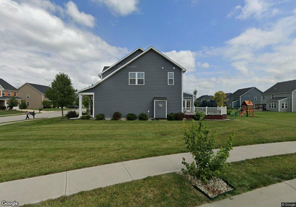
15133 Bentfield Ct Fishers, IN 46037
Estimated Value: $406,346 - $461,000
2
Beds
2
Baths
1,796
Sq Ft
$236/Sq Ft
Est. Value
About This Home
This home is located at 15133 Bentfield Ct, Fishers, IN 46037 and is currently estimated at $423,587, approximately $235 per square foot. 15133 Bentfield Ct is a home located in Hamilton County with nearby schools including Overland Park Elementary School, Southeastern Elementary School, and Hamilton Southeastern Intermediate / Junior High.
Ownership History
Date
Name
Owned For
Owner Type
Purchase Details
Closed on
Oct 30, 2017
Sold by
Nvri Inc
Bought by
Fenner Robert W and Fenner Dawn
Current Estimated Value
Home Financials for this Owner
Home Financials are based on the most recent Mortgage that was taken out on this home.
Original Mortgage
$60,000
Outstanding Balance
$50,251
Interest Rate
3.83%
Mortgage Type
New Conventional
Estimated Equity
$373,336
Purchase Details
Closed on
Jul 21, 2017
Sold by
Saratoga Development Llc
Bought by
Nvr Inc
Create a Home Valuation Report for This Property
The Home Valuation Report is an in-depth analysis detailing your home's value as well as a comparison with similar homes in the area
Home Values in the Area
Average Home Value in this Area
Purchase History
| Date | Buyer | Sale Price | Title Company |
|---|---|---|---|
| Fenner Robert W | -- | None Available | |
| Nvr Inc | -- | None Available |
Source: Public Records
Mortgage History
| Date | Status | Borrower | Loan Amount |
|---|---|---|---|
| Open | Fenner Robert W | $60,000 |
Source: Public Records
Tax History Compared to Growth
Tax History
| Year | Tax Paid | Tax Assessment Tax Assessment Total Assessment is a certain percentage of the fair market value that is determined by local assessors to be the total taxable value of land and additions on the property. | Land | Improvement |
|---|---|---|---|---|
| 2024 | $3,278 | $353,300 | $70,500 | $282,800 |
| 2023 | $3,313 | $341,700 | $70,500 | $271,200 |
| 2022 | $3,227 | $304,500 | $70,500 | $234,000 |
| 2021 | $2,813 | $270,900 | $70,500 | $200,400 |
| 2020 | $2,648 | $263,300 | $70,500 | $192,800 |
| 2019 | $2,614 | $260,200 | $67,400 | $192,800 |
| 2018 | $2,643 | $262,100 | $67,400 | $194,700 |
Source: Public Records
Map
Nearby Homes
- 15063 Mancroft Dr
- 15311 Forest Glade Dr
- 13538 Longrise Ln
- 15163 Farrington Way
- 15472 Cardonia Rd
- 15131 Farrington Way
- 15198 Swallow Falls Way
- 15464 Cardonia Rd
- 15147 Farrington Way
- 15123 Farrington Way
- 15444 Postman Rd
- 0 E 136th St Unit MBR22040185
- 15269 Staffordshire Way
- 15104 Downham Dr
- Springfield Plan at Abbott Commons - Heritage
- 15480 Postman Rd
- 15511 Postman Rd
- 15363 Alperton Rd
- Kingston Plan at Abbott Commons - Venture
- Chartwell Plan at Abbott Commons - Heritage
- 15143 Bentfield Ct
- 15123 Bentfield Ct
- 15130 Betton Place
- 15153 Bentfield Ct
- 15118 Betton Place
- 15103 Bentfield Ct
- 15124 Bentfield Ct
- 15142 Betton Place
- 15134 Bentfield Ct
- 15154 Betton Place
- 15106 Betton Place
- 15163 Bentfield Ct
- 15104 Bentfield Ct
- 15154 Bentfield Ct
- 15166 Betton Place
- 15094 Bentfield Ct
- 15129 Betton Place
- 13450 Lamb Dr
- 15117 Betton Place
- 15141 Betton Place