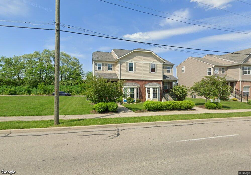
1514 Jonathan Ave Cincinnati, OH 45207
Evanston NeighborhoodEstimated Value: $283,000 - $333,000
3
Beds
3
Baths
1,986
Sq Ft
$153/Sq Ft
Est. Value
About This Home
This home is located at 1514 Jonathan Ave, Cincinnati, OH 45207 and is currently estimated at $303,854, approximately $152 per square foot. 1514 Jonathan Ave is a home located in Hamilton County with nearby schools including Evanston Academy Elementary School, Clark Montessori High School, and Robert A. Taft Information Technology High School.
Ownership History
Date
Name
Owned For
Owner Type
Purchase Details
Closed on
Oct 31, 2007
Sold by
Avondale Redevelopment Corp
Bought by
Mcintosh Joseph H and Mcintosh Gloria J
Current Estimated Value
Home Financials for this Owner
Home Financials are based on the most recent Mortgage that was taken out on this home.
Original Mortgage
$190,310
Outstanding Balance
$120,783
Interest Rate
6.44%
Mortgage Type
Unknown
Estimated Equity
$183,071
Create a Home Valuation Report for This Property
The Home Valuation Report is an in-depth analysis detailing your home's value as well as a comparison with similar homes in the area
Home Values in the Area
Average Home Value in this Area
Purchase History
| Date | Buyer | Sale Price | Title Company |
|---|---|---|---|
| Mcintosh Joseph H | $190,310 | Attorney |
Source: Public Records
Mortgage History
| Date | Status | Borrower | Loan Amount |
|---|---|---|---|
| Open | Mcintosh Joseph H | $190,310 |
Source: Public Records
Tax History Compared to Growth
Tax History
| Year | Tax Paid | Tax Assessment Tax Assessment Total Assessment is a certain percentage of the fair market value that is determined by local assessors to be the total taxable value of land and additions on the property. | Land | Improvement |
|---|---|---|---|---|
| 2024 | $3,641 | $71,057 | $6,125 | $64,932 |
| 2023 | $4,342 | $71,057 | $6,125 | $64,932 |
| 2022 | $611 | $59,623 | $8,813 | $50,810 |
| 2021 | $585 | $59,623 | $8,813 | $50,810 |
| 2020 | $602 | $59,623 | $8,813 | $50,810 |
| 2019 | $604 | $54,698 | $8,085 | $46,613 |
| 2018 | $605 | $54,698 | $8,085 | $46,613 |
| 2017 | $574 | $54,698 | $8,085 | $46,613 |
| 2016 | $605 | $61,173 | $8,407 | $52,766 |
| 2015 | $546 | $61,173 | $8,407 | $52,766 |
| 2014 | $550 | $61,173 | $8,407 | $52,766 |
| 2013 | $538 | $58,821 | $8,085 | $50,736 |
Source: Public Records
Map
Nearby Homes
- 3475 Woodburn Ave
- 3472 Woodburn Ave
- 1611 Grantwood Ave
- 3427 Woodburn Ave
- 1609 Clarewood Ave
- 3409 Fernside Place
- 1600 Brewster Ave
- 1627 Jonathan Ave
- 3550 Woodburn Ave
- 3554 Woodburn Ave
- 3556 Woodburn Ave
- 1521 Blair Ave
- 1541 Blair Ave
- 3454 Greenlawn Ave
- 3443 Montgomery Rd
- 1545 Ruth Ave
- 3615 Newton Ave
- 1609 Ruth Ave
- 1517 Saint Leger Place
- 871 Hutchins Ave
- 1516 Jonathan Ave
- 1518 Jonathan Ave
- 1520 Jonathan Ave
- 1522 Jonathan Ave
- 1524 Jonathan Ave
- 1526 Jonathan Ave
- 3453 Pleasant View Ave
- 1528 Jonathan Ave
- 3934 Pleasant View Ave
- 1530 Jonathan Ave
- 3465 Fernside Place
- 3449 Pleasant View Ave
- 1532 Jonathan Ave
- 1534 Jonathan Ave
- 3459 Fernside Place
- 3461 Fernside Place
- 1536 Jonathan Ave
- 3457 Fernside Place
- 3443 Pleasant View Ave
- 1537 Jonathan Ave