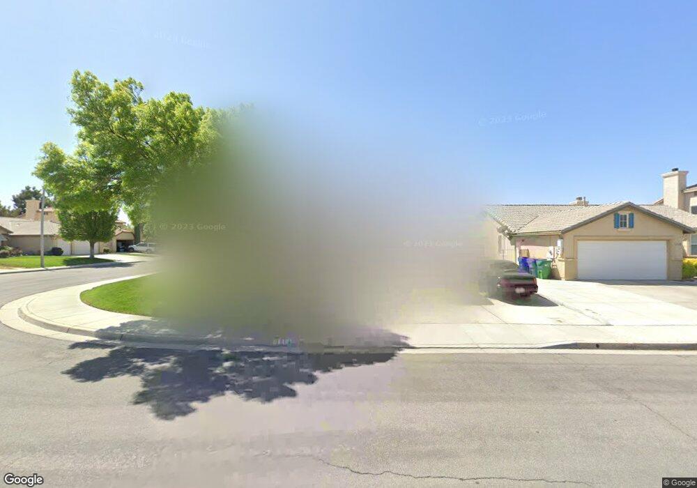
1514 Sutherland St Lancaster, CA 93534
Central Lancaster NeighborhoodEstimated Value: $502,000 - $547,000
5
Beds
3
Baths
2,429
Sq Ft
$215/Sq Ft
Est. Value
About This Home
This home is located at 1514 Sutherland St, Lancaster, CA 93534 and is currently estimated at $522,642, approximately $215 per square foot. 1514 Sutherland St is a home located in Los Angeles County with nearby schools including Desert View Elementary School, Piute Middle School, and Lancaster High School.
Ownership History
Date
Name
Owned For
Owner Type
Purchase Details
Closed on
Jan 27, 2026
Sold by
Metoyer Constance M A and Aaron Family Trust
Bought by
Metoyer Constance M A and Metoyer Aaron Felix
Current Estimated Value
Purchase Details
Closed on
Aug 3, 2005
Sold by
Aaron Felix and Aaron Mary Veronica
Bought by
Aaron Felix and Aaron Mary Veronica
Purchase Details
Closed on
Jul 18, 2001
Sold by
Srhi Llc
Bought by
Aaron Felix and Aaron Mary Veronica
Home Financials for this Owner
Home Financials are based on the most recent Mortgage that was taken out on this home.
Original Mortgage
$125,500
Interest Rate
7.09%
Create a Home Valuation Report for This Property
The Home Valuation Report is an in-depth analysis detailing your home's value as well as a comparison with similar homes in the area
Home Values in the Area
Average Home Value in this Area
Purchase History
| Date | Buyer | Sale Price | Title Company |
|---|---|---|---|
| Metoyer Constance M A | -- | None Listed On Document | |
| Aaron Felix | -- | -- | |
| Aaron Felix | $171,000 | First American Title Co |
Source: Public Records
Mortgage History
| Date | Status | Borrower | Loan Amount |
|---|---|---|---|
| Previous Owner | Aaron Felix | $125,500 |
Source: Public Records
Tax History
| Year | Tax Paid | Tax Assessment Tax Assessment Total Assessment is a certain percentage of the fair market value that is determined by local assessors to be the total taxable value of land and additions on the property. | Land | Improvement |
|---|---|---|---|---|
| 2025 | $4,833 | $283,159 | $50,362 | $232,797 |
| 2024 | $4,833 | $277,608 | $49,375 | $228,233 |
| 2023 | $4,733 | $272,165 | $48,407 | $223,758 |
| 2022 | $4,516 | $266,829 | $47,458 | $219,371 |
| 2021 | $4,106 | $261,598 | $46,528 | $215,070 |
| 2019 | $3,988 | $253,841 | $45,149 | $208,692 |
| 2018 | $3,917 | $248,864 | $44,264 | $204,600 |
| 2016 | $3,703 | $239,203 | $42,547 | $196,656 |
| 2015 | $3,655 | $235,611 | $41,908 | $193,703 |
| 2014 | $3,622 | $230,997 | $41,088 | $189,909 |
Source: Public Records
Map
Nearby Homes
- 45812 Caledonia Ct
- 45728 Barham Ave
- 45704 Barham Ave
- 1633 Regents St
- 1328 W Avenue H-6
- 45839 York Place
- 45736 Victoria Ave
- 45724 Victoria Ave
- 90 Victoria Ave
- 0 Victoria Ave
- 0 Vic Ave G10 15 Stw Ave Unit 15 Stw
- 230 Victoria Ave
- 50 Victoria Ave
- 0 91 Stw Vic Ave G6
- 45728 Balmoral Ct
- 45664 Balmoral Ct
- 45641 Knightsbridge St
- 45614 Barham Ave
- 0 Vac Vic Avenue G6 65th W Unit SR21034311
- 1800 Windermere Dr
- 1522 Sutherland St
- 45825 Barham Ave
- 1528 Sutherland St
- 45826 Caledonia Ct
- 45819 Barham Ct
- 45836 Barham Ave
- 45828 Barham Ave
- 1515 Sutherland St
- 1523 Sutherland St
- 45819 Barham Ave
- 45820 Caledonia Ct
- 45844 Barham Ave
- 1509 Sutherland St
- 45808 Barham Ct
- 45820 Barham Ave
- 1529 Sutherland St
- 45811 Barham Ave
- 45808 Barham Ave
- 1542 Sutherland St
- 1535 Sutherland St
Your Personal Tour Guide
Ask me questions while you tour the home.