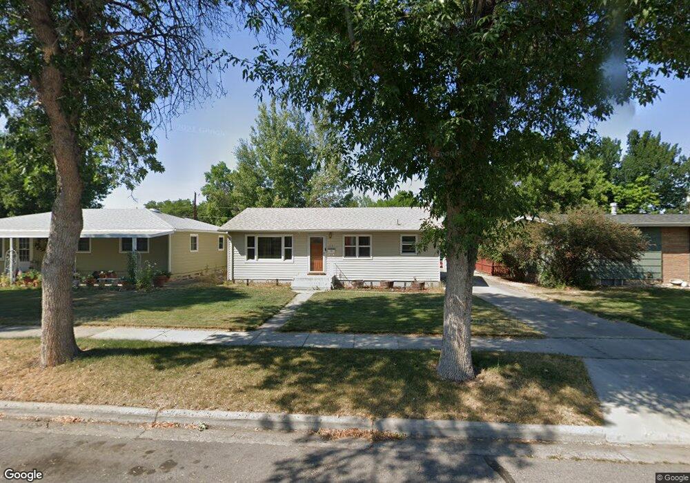
1515 Cook Ave Billings, MT 59102
East Central Billings NeighborhoodEstimated Value: $278,000 - $338,000
3
Beds
2
Baths
1,976
Sq Ft
$160/Sq Ft
Est. Value
About This Home
This home is located at 1515 Cook Ave, Billings, MT 59102 and is currently estimated at $315,685, approximately $159 per square foot. 1515 Cook Ave is a home located in Yellowstone County with nearby schools including Miles Avenue School, Lewis & Clark Junior High School, and Billings West High School.
Ownership History
Date
Name
Owned For
Owner Type
Purchase Details
Closed on
Jul 2, 2013
Sold by
Allen Ryan D and Ostermiller Heather R
Bought by
Stanley Jay N
Current Estimated Value
Home Financials for this Owner
Home Financials are based on the most recent Mortgage that was taken out on this home.
Original Mortgage
$126,500
Outstanding Balance
$91,828
Interest Rate
3.88%
Mortgage Type
New Conventional
Estimated Equity
$247,231
Purchase Details
Closed on
Jul 21, 2011
Sold by
Trerise Benjamin E and Trerise Katy A
Bought by
Ostermiller Heather A and Allen Ryan D
Home Financials for this Owner
Home Financials are based on the most recent Mortgage that was taken out on this home.
Original Mortgage
$157,405
Interest Rate
4.75%
Mortgage Type
FHA
Create a Home Valuation Report for This Property
The Home Valuation Report is an in-depth analysis detailing your home's value as well as a comparison with similar homes in the area
Home Values in the Area
Average Home Value in this Area
Purchase History
| Date | Buyer | Sale Price | Title Company |
|---|---|---|---|
| Stanley Jay N | -- | Chicago Title | |
| Ostermiller Heather A | -- | Chicago Title |
Source: Public Records
Mortgage History
| Date | Status | Borrower | Loan Amount |
|---|---|---|---|
| Open | Stanley Jay N | $126,500 | |
| Previous Owner | Ostermiller Heather A | $157,405 |
Source: Public Records
Tax History Compared to Growth
Tax History
| Year | Tax Paid | Tax Assessment Tax Assessment Total Assessment is a certain percentage of the fair market value that is determined by local assessors to be the total taxable value of land and additions on the property. | Land | Improvement |
|---|---|---|---|---|
| 2025 | $2,689 | $315,500 | $49,423 | $266,077 |
| 2024 | $2,689 | $275,900 | $45,463 | $230,437 |
| 2023 | $2,696 | $275,900 | $45,463 | $230,437 |
| 2022 | $2,026 | $214,600 | $0 | $0 |
| 2021 | $2,281 | $214,600 | $0 | $0 |
| 2020 | $2,336 | $210,000 | $0 | $0 |
| 2019 | $2,232 | $210,000 | $0 | $0 |
| 2018 | $2,106 | $193,800 | $0 | $0 |
| 2017 | $2,045 | $193,800 | $0 | $0 |
| 2016 | $1,881 | $179,800 | $0 | $0 |
| 2015 | $1,839 | $179,800 | $0 | $0 |
| 2014 | $1,619 | $83,422 | $0 | $0 |
Source: Public Records
Map
Nearby Homes
- 305 17th St W
- 1231 Saint Johns Ave
- 1346 Broadwater Ave
- 1604 Wyoming Ave
- 621 Nelson Dr
- 1304 Eldorado Dr
- 1537 Wyoming Ave Unit D
- 1541 Wyoming Ave Unit C
- 1212 Concord Dr
- 1540 Yellowstone Ave Unit D
- 28 19th St W
- 16 19th St W
- 1122 Howard Ave
- 1310 Yellowstone Ave Unit 6
- 1310 Yellowstone Ave Unit 11
- 1310 Yellowstone Ave Unit 16
- 1113 Lynn Ave
- 1540 Clark Ave
- 112 11th St W
- 141 S 12th St W