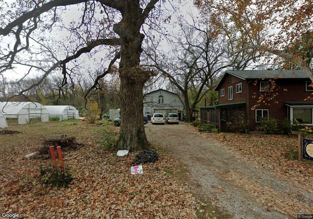
1515 E 11th St Lawrence, KS 66046
Brook Creek NeighborhoodEstimated Value: $292,096 - $516,000
2
Beds
2
Baths
1,711
Sq Ft
$236/Sq Ft
Est. Value
About This Home
This home is located at 1515 E 11th St, Lawrence, KS 66046 and is currently estimated at $404,048, approximately $236 per square foot. 1515 E 11th St is a home located in Douglas County with nearby schools including New York Elementary School, Liberty Memorial Central Middle School, and Lawrence Free State High School.
Ownership History
Date
Name
Owned For
Owner Type
Purchase Details
Closed on
Jun 27, 2006
Sold by
Craft John
Bought by
Elmers Jill C
Current Estimated Value
Home Financials for this Owner
Home Financials are based on the most recent Mortgage that was taken out on this home.
Original Mortgage
$105,000
Outstanding Balance
$62,405
Interest Rate
6.67%
Mortgage Type
Purchase Money Mortgage
Estimated Equity
$341,643
Create a Home Valuation Report for This Property
The Home Valuation Report is an in-depth analysis detailing your home's value as well as a comparison with similar homes in the area
Home Values in the Area
Average Home Value in this Area
Purchase History
| Date | Buyer | Sale Price | Title Company |
|---|---|---|---|
| Elmers Jill C | -- | First American Title |
Source: Public Records
Mortgage History
| Date | Status | Borrower | Loan Amount |
|---|---|---|---|
| Open | Elmers Jill C | $105,000 |
Source: Public Records
Tax History Compared to Growth
Tax History
| Year | Tax Paid | Tax Assessment Tax Assessment Total Assessment is a certain percentage of the fair market value that is determined by local assessors to be the total taxable value of land and additions on the property. | Land | Improvement |
|---|---|---|---|---|
| 2025 | $3,305 | $27,120 | $3,053 | $24,067 |
| 2024 | $3,175 | $26,092 | $2,984 | $23,108 |
| 2023 | $3,153 | $24,780 | $5,175 | $19,605 |
| 2022 | $2,940 | $22,972 | $4,600 | $18,372 |
| 2021 | $2,760 | $20,781 | $4,368 | $16,413 |
| 2020 | $2,739 | $20,723 | $4,368 | $16,355 |
| 2019 | $2,661 | $20,166 | $3,798 | $16,368 |
| 2018 | $2,611 | $19,647 | $3,571 | $16,076 |
| 2017 | $1,972 | $14,758 | $3,571 | $11,187 |
| 2016 | $2,012 | $15,716 | $3,450 | $12,266 |
| 2015 | -- | $19,254 | $3,450 | $15,804 |
| 2014 | -- | $19,254 | $3,450 | $15,804 |
Source: Public Records
Map
Nearby Homes
- 1316 E 16th St
- 1603 Harper St
- 1243 Delaware St Unit B
- 0 Delaware St
- 1320 Pennsylvania St
- 1320 Pennsylvania St Unit apartment above gara
- 1111 New Jersey St
- 923 Ward Ave
- 1220 New York St
- 1327 New Jersey St
- 1736 Brook St
- 1141 Connecticut St
- 1103 E 18th St
- 1424 New York St
- 1829 Brook St
- 1240 Rhode Island St
- 1625 Pennsylvania St
- 809 Maple St
- 800 New Hampshire St Unit 204
- 705 Rhode Island St Unit F
- 1551 N 1550 Rd
- 1554 N 1550 Rd
- 0 N 1550 Rd Unit 1641759
- 1562 N 1550 Rd
- 1216 Summit St
- 1219 Summit St
- 1560 N 1550 Rd
- 1200 Prospect Ave
- 1220 Summit St
- 1204 Prospect Ave
- 1221 Summit St
- 1212 Prospect Ave
- 1222 Summit St
- 1201 Prospect Ave
- 1216 Prospect Ave
- 1564 N 1550 Rd
- 1220 Prospect Ave
- 1512 E 13th St
- 1510 E 13th St
- 1508 E 13th St