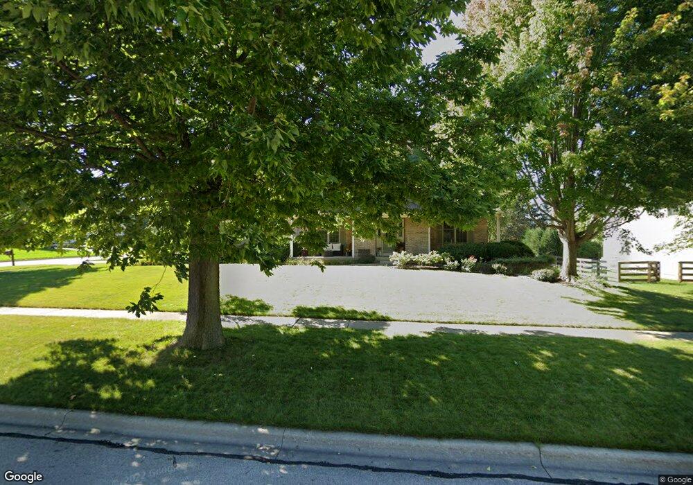
1515 Flag Day Dr Batavia, IL 60510
Southeast Batavia NeighborhoodEstimated Value: $588,993 - $679,000
4
Beds
--
Bath
2,866
Sq Ft
$225/Sq Ft
Est. Value
About This Home
This home is located at 1515 Flag Day Dr, Batavia, IL 60510 and is currently estimated at $645,998, approximately $225 per square foot. 1515 Flag Day Dr is a home located in Kane County with nearby schools including Hoover Wood Elementary School, Sam Rotolo Middle School, and Batavia Sr High School.
Ownership History
Date
Name
Owned For
Owner Type
Purchase Details
Closed on
Jul 8, 1998
Sold by
Jarnell Edward F and Jarnell Velda J
Bought by
Martin Andrew H and Henning Carolyn M
Current Estimated Value
Home Financials for this Owner
Home Financials are based on the most recent Mortgage that was taken out on this home.
Original Mortgage
$224,000
Outstanding Balance
$46,519
Interest Rate
7.17%
Estimated Equity
$599,479
Create a Home Valuation Report for This Property
The Home Valuation Report is an in-depth analysis detailing your home's value as well as a comparison with similar homes in the area
Home Values in the Area
Average Home Value in this Area
Purchase History
| Date | Buyer | Sale Price | Title Company |
|---|---|---|---|
| Martin Andrew H | $257,000 | Chicago Title Insurance Co |
Source: Public Records
Mortgage History
| Date | Status | Borrower | Loan Amount |
|---|---|---|---|
| Open | Martin Andrew H | $224,000 | |
| Closed | Martin Andrew H | $42,000 |
Source: Public Records
Tax History Compared to Growth
Tax History
| Year | Tax Paid | Tax Assessment Tax Assessment Total Assessment is a certain percentage of the fair market value that is determined by local assessors to be the total taxable value of land and additions on the property. | Land | Improvement |
|---|---|---|---|---|
| 2024 | $12,556 | $166,803 | $18,629 | $148,174 |
| 2023 | $12,304 | $151,392 | $16,908 | $134,484 |
| 2022 | $11,831 | $141,488 | $15,802 | $125,686 |
| 2021 | $11,363 | $134,188 | $14,987 | $119,201 |
| 2020 | $11,085 | $131,609 | $14,699 | $116,910 |
| 2019 | $10,908 | $126,950 | $14,179 | $112,771 |
| 2018 | $10,676 | $124,328 | $13,639 | $110,689 |
| 2017 | $10,421 | $120,228 | $13,189 | $107,039 |
| 2016 | $10,203 | $116,726 | $12,805 | $103,921 |
| 2015 | -- | $114,068 | $12,513 | $101,555 |
| 2014 | -- | $110,477 | $12,119 | $98,358 |
| 2013 | -- | $125,868 | $16,278 | $109,590 |
Source: Public Records
Map
Nearby Homes
- 1667 S Raddant Rd
- 610 Norcross Dr
- 1335 Chillem Dr
- 1017 Willow Ln Unit 2
- 1580 Wind Energy Pass
- 733 Wind Energy Pass
- 3S201 S Raddant Rd
- 473 Bond Dr
- 943 Orchard Ct
- 1548 Wind Energy Pass
- 1136 Pine Ct
- 1111 Hart Rd
- 918 S Raddant Rd
- 941 Stanton St
- 3058 Preakness Ct
- Lot 4 Manchester Ave
- 445 Chillem Dr
- 810 Columbia Cir Unit 3
- 509 S Forest Ave
- 860 S River St
- 1107 Schiedler Dr
- 1507 Flag Day Dr
- 1108 Edwards Dr
- 1116 Schiedler Dr
- 1512 Flag Day Dr
- 1103 Schiedler Dr
- 1106 Schiedler Dr
- 1104 Edwards Dr
- 1128 Schiedler Dr
- 1500 Flag Day Dr
- 1019 Schiedler Dr
- 1115 Edwards Dr
- 1016 Edwards Dr
- 1121 Edwards Dr
- 1109 Edwards Dr
- 1022 Schiedler Dr
- 1105 Edwards Dr
- 2S735 S Raddant Rd
- 1015 Schiedler Dr
- 1012 Edwards Dr