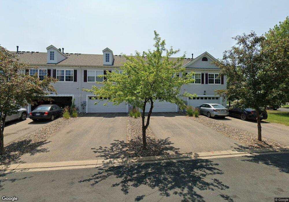
1515 Liberty Cir Shakopee, MN 55379
Estimated Value: $279,916 - $286,000
3
Beds
3
Baths
1,584
Sq Ft
$178/Sq Ft
Est. Value
About This Home
This home is located at 1515 Liberty Cir, Shakopee, MN 55379 and is currently estimated at $281,729, approximately $177 per square foot. 1515 Liberty Cir is a home located in Scott County with nearby schools including Jackson Elementary School, East Middle School, and Shakopee Senior High School.
Ownership History
Date
Name
Owned For
Owner Type
Purchase Details
Closed on
Aug 23, 2019
Sold by
Wright Debra Sue
Bought by
Obure Esther and Ongaki Jane
Current Estimated Value
Home Financials for this Owner
Home Financials are based on the most recent Mortgage that was taken out on this home.
Original Mortgage
$213,069
Interest Rate
4.12%
Mortgage Type
FHA
Purchase Details
Closed on
Apr 3, 2019
Sold by
Wright Debra and Wright Robert
Bought by
Moyer Wright Debra Sue and Moyer Wright Robert
Purchase Details
Closed on
Nov 22, 2004
Sold by
Town & Country Homes Inc
Bought by
Wright Debra and Wright Robert
Create a Home Valuation Report for This Property
The Home Valuation Report is an in-depth analysis detailing your home's value as well as a comparison with similar homes in the area
Home Values in the Area
Average Home Value in this Area
Purchase History
| Date | Buyer | Sale Price | Title Company |
|---|---|---|---|
| Obure Esther | $217,000 | Global Closing & Title Svcs | |
| Moyer Wright Debra Sue | $500 | None Available | |
| Wright Debra | $188,880 | -- |
Source: Public Records
Mortgage History
| Date | Status | Borrower | Loan Amount |
|---|---|---|---|
| Previous Owner | Obure Esther | $213,069 |
Source: Public Records
Tax History Compared to Growth
Tax History
| Year | Tax Paid | Tax Assessment Tax Assessment Total Assessment is a certain percentage of the fair market value that is determined by local assessors to be the total taxable value of land and additions on the property. | Land | Improvement |
|---|---|---|---|---|
| 2025 | $2,544 | $271,900 | $76,100 | $195,800 |
| 2024 | $2,566 | $259,300 | $72,400 | $186,900 |
| 2023 | $2,626 | $250,300 | $71,000 | $179,300 |
| 2022 | $2,630 | $252,000 | $72,700 | $179,300 |
| 2021 | $2,394 | $219,700 | $57,000 | $162,700 |
| 2020 | $2,504 | $220,000 | $52,500 | $167,500 |
| 2019 | $2,296 | $204,500 | $44,400 | $160,100 |
| 2018 | $2,062 | $0 | $0 | $0 |
| 2016 | $1,904 | $0 | $0 | $0 |
| 2014 | -- | $0 | $0 | $0 |
Source: Public Records
Map
Nearby Homes
- 1507 Liberty Cir
- 627 Providence Dr
- 1534 Liberty Cir
- 1574 Liberty Cir Unit 2406
- 1646 Liberty Cir
- 1679 Nordland St
- 849 Providence Dr
- 820 Princeton Ave Unit 4505
- 915 Providence Dr Unit 1306
- 291 Appleblossom Ln
- 125 Pottok Ln
- 1688 Countryside Dr
- 970 Westchester Ave
- 1573 Creekside Ln
- 233 Dongola Ln
- 137 Hickory Ln E
- 736 Barrington Dr E
- 1530 Mcintosh Cir
- 726 Regent Dr
- 1195 Prairie Ln
- 1513 Liberty Cir
- 1517 Liberty Cir
- 1511 Liberty Cir
- 1509 Liberty Cir
- 1585 Liberty Cir
- 1589 Liberty Cir
- 1505 Liberty Cir
- 1593 Liberty Cir
- 1600 Liberty St
- 1604 Liberty St
- 1597 Liberty Cir
- 1608 Liberty St
- 1520 Liberty Cir
- 1601 Liberty Cir
- 1530 Liberty Cir
- 1530 1530 Liberty Cir
- 1612 Liberty St
- 1570 Liberty Cir Unit 2408
- 1560 Liberty Cir Unit 2404
- 1596 Liberty St