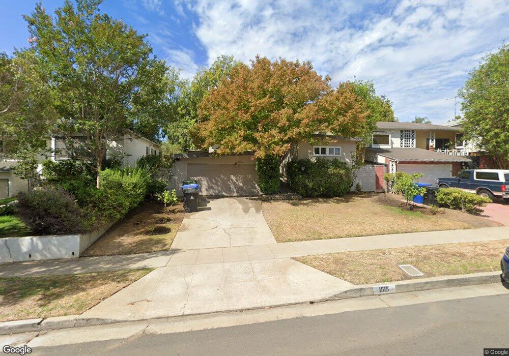
1515 Malcolm Ave Los Angeles, CA 90024
Westwood NeighborhoodEstimated Value: $1,743,000 - $2,156,000
2
Beds
2
Baths
1,288
Sq Ft
$1,532/Sq Ft
Est. Value
About This Home
This home is located at 1515 Malcolm Ave, Los Angeles, CA 90024 and is currently estimated at $1,973,040, approximately $1,531 per square foot. 1515 Malcolm Ave is a home located in Los Angeles County with nearby schools including Fairburn Avenue Elementary, Westwood Charter School, and Ralph Waldo Emerson Community Charter Middle School.
Ownership History
Date
Name
Owned For
Owner Type
Purchase Details
Closed on
Aug 29, 2001
Sold by
Mccoy Frank H and Mccoy Carole A
Bought by
Kendall Renee and The Diana Trust
Current Estimated Value
Home Financials for this Owner
Home Financials are based on the most recent Mortgage that was taken out on this home.
Original Mortgage
$475,200
Outstanding Balance
$182,060
Interest Rate
6.75%
Estimated Equity
$1,790,980
Create a Home Valuation Report for This Property
The Home Valuation Report is an in-depth analysis detailing your home's value as well as a comparison with similar homes in the area
Home Values in the Area
Average Home Value in this Area
Purchase History
| Date | Buyer | Sale Price | Title Company |
|---|---|---|---|
| Kendall Renee | $594,000 | United Title Company |
Source: Public Records
Mortgage History
| Date | Status | Borrower | Loan Amount |
|---|---|---|---|
| Open | Kendall Renee | $475,200 |
Source: Public Records
Tax History Compared to Growth
Tax History
| Year | Tax Paid | Tax Assessment Tax Assessment Total Assessment is a certain percentage of the fair market value that is determined by local assessors to be the total taxable value of land and additions on the property. | Land | Improvement |
|---|---|---|---|---|
| 2025 | $10,574 | $877,499 | $702,007 | $175,492 |
| 2024 | $10,574 | $860,294 | $688,243 | $172,051 |
| 2023 | $10,373 | $843,427 | $674,749 | $168,678 |
| 2022 | $9,894 | $826,890 | $661,519 | $165,371 |
| 2021 | $9,771 | $810,678 | $648,549 | $162,129 |
| 2019 | $9,479 | $786,634 | $629,313 | $157,321 |
| 2018 | $9,440 | $771,211 | $616,974 | $154,237 |
| 2016 | $9,031 | $741,266 | $593,017 | $148,249 |
| 2015 | $8,900 | $730,133 | $584,110 | $146,023 |
| 2014 | $8,934 | $715,832 | $572,669 | $143,163 |
Source: Public Records
Map
Nearby Homes
- 1512 Glendon Ave
- 1645 Malcolm Ave Unit 302
- 10745 Ohio Ave
- 1551 Manning Ave Unit 101
- 10725 Ohio Ave Unit PH2
- 10725 Ohio Ave Unit 301
- 10721 Ohio Ave
- 10735 Rochester Ave
- 1440 Veteran Ave Unit 209
- 1440 Veteran Ave Unit 544
- 1733 Malcolm Ave Unit 2
- 10687 Wilkins Ave Unit 1
- 1768 Kelton Ave
- 1621 Manning Ave
- 10671 Wilkins Ave Unit 5
- 1300 Midvale Ave Unit 308
- 1650 Veteran Ave Unit 107
- 1361 Kelton Ave Unit 502
- 1361 Kelton Ave Unit 403
- 1361 Kelton Ave Unit 401
- 1511 Malcolm Ave
- 1523 Malcolm Ave
- 1507 Malcolm Ave
- 1527 Malcolm Ave
- 1516 Glendon Ave
- 1501 Malcolm Ave
- 1520 Glendon Ave
- 1531 Malcolm Ave
- 1508 Glendon Ave
- 1526 Glendon Ave
- 1526 Glendon Ave
- 1516 Malcolm Ave
- 1510 Malcolm Ave
- 10822 Ohio Ave
- 1539 Malcolm Ave
- 1522 Malcolm Ave
- 1532 Glendon Ave
- 1506 Malcolm Ave
- 1500 Malcolm Ave
- 1536 Glendon Ave