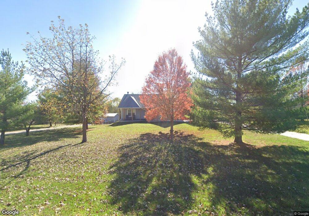
15151 Brandt Rd Leavenworth, KS 66048
Estimated Value: $404,288 - $462,000
3
Beds
3
Baths
1,911
Sq Ft
$224/Sq Ft
Est. Value
About This Home
This home is located at 15151 Brandt Rd, Leavenworth, KS 66048 and is currently estimated at $427,322, approximately $223 per square foot. 15151 Brandt Rd is a home located in Leavenworth County with nearby schools including Lansing Elementary School, Lansing Middle 6-8, and Lansing High 9-12.
Ownership History
Date
Name
Owned For
Owner Type
Purchase Details
Closed on
Jun 1, 1998
Bought by
Polley Roxane E
Current Estimated Value
Home Financials for this Owner
Home Financials are based on the most recent Mortgage that was taken out on this home.
Original Mortgage
$112,362
Interest Rate
7.07%
Mortgage Type
New Conventional
Create a Home Valuation Report for This Property
The Home Valuation Report is an in-depth analysis detailing your home's value as well as a comparison with similar homes in the area
Home Values in the Area
Average Home Value in this Area
Purchase History
| Date | Buyer | Sale Price | Title Company |
|---|---|---|---|
| Polley Roxane E | $144,500 | -- |
Source: Public Records
Mortgage History
| Date | Status | Borrower | Loan Amount |
|---|---|---|---|
| Closed | Polley Roxane E | $112,362 | |
| Closed | Polley Roxane E | $15,000 |
Source: Public Records
Tax History Compared to Growth
Tax History
| Year | Tax Paid | Tax Assessment Tax Assessment Total Assessment is a certain percentage of the fair market value that is determined by local assessors to be the total taxable value of land and additions on the property. | Land | Improvement |
|---|---|---|---|---|
| 2025 | $4,887 | $45,837 | $7,166 | $38,671 |
| 2024 | $4,537 | $44,074 | $6,669 | $37,405 |
| 2023 | $4,537 | $42,790 | $6,480 | $36,310 |
| 2022 | $4,153 | $37,777 | $5,552 | $32,225 |
| 2021 | $3,596 | $32,453 | $4,669 | $27,784 |
| 2020 | $3,379 | $30,015 | $4,493 | $25,522 |
| 2019 | $3,233 | $28,922 | $4,148 | $24,774 |
| 2018 | $2,863 | $25,679 | $3,228 | $22,451 |
| 2017 | $2,871 | $25,679 | $3,029 | $22,650 |
| 2016 | $2,775 | $24,961 | $2,998 | $21,963 |
| 2015 | $2,656 | $23,931 | $2,998 | $20,933 |
| 2014 | $2,608 | $23,931 | $2,998 | $20,933 |
Source: Public Records
Map
Nearby Homes
- 15280 Roger Rd
- 15038 Fairmount Rd
- 14934 Fairmount Rd
- 22617 155th St
- 23802 140th St
- 14165 Ashbury Ct
- 6508 141st St
- Lot 2 139th St
- 5025 146th St
- 5023 146th St
- 5005 146th St
- 5020 146th St
- 5018 146th St
- 5001 N 145th St
- 4551 N 145th St
- 13965 Mc Intyre Rd
- 24431 139th St
- 833 Rock Creek Dr
- 13521 Polfer Rd
- 705 Rock Creek Dr
- 15201 Brandt Rd
- 23351 151st St
- 15150 Brandt Rd
- 23325 151st St
- 15200 Brandt Rd
- 15251 Brandt Rd
- 15150 Lynn Rd
- 15200 Lynn Rd
- 15230 Brandt Rd
- 23301 151st St
- 15230 Lynn Rd
- 15281 Brandt Rd
- 23401 151st St
- 23324 151st St
- 23283 151st St
- 15151 Roger Rd
- 15280 Brandt Rd
- 15201 Roger Rd
- 23425 151st St
- 15280 Lynn Rd