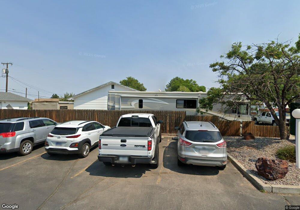
1519 Custer Ave Billings, MT 59102
East Central Billings NeighborhoodEstimated Value: $253,000 - $312,644
4
Beds
1
Bath
1,008
Sq Ft
$293/Sq Ft
Est. Value
About This Home
This home is located at 1519 Custer Ave, Billings, MT 59102 and is currently estimated at $295,411, approximately $293 per square foot. 1519 Custer Ave is a home located in Yellowstone County with nearby schools including Miles Avenue School, Lewis & Clark Junior High School, and Billings West High School.
Ownership History
Date
Name
Owned For
Owner Type
Purchase Details
Closed on
Sep 29, 2005
Sold by
Portra Peter A and Portra Kathleen A
Bought by
Murphy Donald J and Murphy Judy
Current Estimated Value
Home Financials for this Owner
Home Financials are based on the most recent Mortgage that was taken out on this home.
Original Mortgage
$10,000
Outstanding Balance
$5,309
Interest Rate
5.63%
Mortgage Type
Unknown
Estimated Equity
$290,102
Create a Home Valuation Report for This Property
The Home Valuation Report is an in-depth analysis detailing your home's value as well as a comparison with similar homes in the area
Home Values in the Area
Average Home Value in this Area
Purchase History
| Date | Buyer | Sale Price | Title Company |
|---|---|---|---|
| Murphy Donald J | -- | None Available |
Source: Public Records
Mortgage History
| Date | Status | Borrower | Loan Amount |
|---|---|---|---|
| Open | Murphy Donald J | $10,000 | |
| Open | Murphy Donald J | $142,764 |
Source: Public Records
Tax History Compared to Growth
Tax History
| Year | Tax Paid | Tax Assessment Tax Assessment Total Assessment is a certain percentage of the fair market value that is determined by local assessors to be the total taxable value of land and additions on the property. | Land | Improvement |
|---|---|---|---|---|
| 2025 | $222 | $290,300 | $51,127 | $239,173 |
| 2024 | $222 | $261,700 | $46,726 | $214,974 |
| 2023 | $264 | $261,700 | $46,726 | $214,974 |
| 2022 | $248 | $211,400 | $0 | $0 |
| 2021 | $244 | $211,400 | $0 | $0 |
| 2020 | $320 | $205,200 | $0 | $0 |
| 2019 | $316 | $205,200 | $0 | $0 |
| 2018 | $307 | $187,600 | $0 | $0 |
| 2017 | $297 | $187,600 | $0 | $0 |
| 2016 | $278 | $186,800 | $0 | $0 |
| 2015 | $272 | $186,800 | $0 | $0 |
| 2014 | $1,777 | $87,609 | $0 | $0 |
Source: Public Records
Map
Nearby Homes
- 1604 Wyoming Ave
- 1537 Wyoming Ave Unit D
- 1540 Yellowstone Ave Unit D
- 305 17th St W
- 621 Nelson Dr
- 1540 Clark Ave
- 1310 Yellowstone Ave Unit 6
- 1310 Yellowstone Ave Unit 11
- 1310 Yellowstone Ave Unit 16
- 1640 Lewis Ave
- 1720 Lewis Ave
- 1256 & 1260 Yellowstone Ave
- 1265 Yellowstone Ave
- 1263 Yellowstone Ave
- 1231 Saint Johns Ave
- 1539 Burlington Ave
- 1704 Burlington Ave
- 1230 Clark Ave
- 1815 Clark Ave
- 1225 Clark Ave
- 1523 Custer Ave
- 1515 Custer Ave
- 1509 Custer Ave
- 1520 Custer Ave
- 1504 Broadwater Lease
- 602 15th St W
- 1530 Custer Ave
- 519 Mervin St
- 16th 7th St W
- 514 Mervin St
- 515 Mervin St
- 506 Mervin St
- 1503 Broadwater Ave
- 515 16th St W
- 511 Mervin St
- 502 Mervin St
- 1517 Broadwater Ave
- 511 16th St W
- 429 Mervin St
- 428 Mervin St