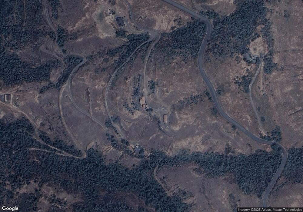
15195 Buttercup Ln Juliaetta, ID 83535
Estimated Value: $702,211 - $766,000
4
Beds
3
Baths
3,042
Sq Ft
$245/Sq Ft
Est. Value
About This Home
This home is located at 15195 Buttercup Ln, Juliaetta, ID 83535 and is currently estimated at $744,303, approximately $244 per square foot. 15195 Buttercup Ln is a home located in Nez Perce County with nearby schools including Juliaetta Elementary School and Kendrick Junior/Senior High School.
Ownership History
Date
Name
Owned For
Owner Type
Purchase Details
Closed on
Aug 19, 2005
Sold by
Coursey Sandra L and Mize Sandra L
Bought by
Coursey Sandra L and Coursey Joe E
Current Estimated Value
Home Financials for this Owner
Home Financials are based on the most recent Mortgage that was taken out on this home.
Original Mortgage
$42,247
Interest Rate
5.64%
Mortgage Type
Purchase Money Mortgage
Create a Home Valuation Report for This Property
The Home Valuation Report is an in-depth analysis detailing your home's value as well as a comparison with similar homes in the area
Home Values in the Area
Average Home Value in this Area
Purchase History
| Date | Buyer | Sale Price | Title Company |
|---|---|---|---|
| Coursey Sandra L | -- | -- |
Source: Public Records
Mortgage History
| Date | Status | Borrower | Loan Amount |
|---|---|---|---|
| Closed | Coursey Sandra L | $42,247 |
Source: Public Records
Tax History Compared to Growth
Tax History
| Year | Tax Paid | Tax Assessment Tax Assessment Total Assessment is a certain percentage of the fair market value that is determined by local assessors to be the total taxable value of land and additions on the property. | Land | Improvement |
|---|---|---|---|---|
| 2025 | $3,285 | $598,322 | $80,474 | $517,848 |
| 2024 | $31 | $511,183 | $73,161 | $438,022 |
| 2023 | $2,961 | $486,743 | $60,967 | $425,776 |
| 2022 | $3,343 | $441,454 | $50,805 | $390,649 |
| 2021 | $2,501 | $316,648 | $44,179 | $272,469 |
| 2020 | $2,431 | $275,592 | $40,725 | $234,867 |
| 2019 | $2,145 | $241,570 | $40,725 | $200,845 |
| 2018 | $2,194 | $240,670 | $39,825 | $200,845 |
| 2017 | $2,190 | $0 | $0 | $0 |
| 2016 | $2,190 | $0 | $0 | $0 |
| 2015 | $2,267 | $0 | $0 | $0 |
| 2014 | $2,208 | $219,214 | $38,475 | $180,739 |
Source: Public Records
Map
Nearby Homes
- 164 State St
- 207 State St
- 305 3rd St
- 13790 Cross Farm Rd
- 17550 Stoney Point
- 1647 State Highway 3
- 1701 State Highway 3
- 701 Wheeler St
- 812 Main St
- 901 E Main St
- 301 E B St
- 32178 South Rd
- 19225 Arabian Ln
- NKA Clearwater Ridge Dr
- 0 Nka Clearwater Ridge Dr
- NKA Clearwater Ridge Dr
- TBD Clearwater Dr
- 1030 Wheatland Rd
- 22236 Gunsmoke Canyon
- TBD River Rd
- 15190 Buttercup Ln
- 15190 Buttercup Ln Unit 23 min to Lewiston
- TBD 220 Rd S
- tbs 220 Rd S
- Bare Land 220 Rd S
- 15919 Buttercup Ln
- TBD McGary
- 1271 Main St
- 1281 Main St
- 1281 Main St Unit 1281 Highway 3
- 2231 Smith Dr
- 1391 Main St
- 1461 Main St
- 14960 McGary Grade
- 4140 Old Main St
- 000 Main St
- 4126 Old Main St
- 5301 Riverview Dr
- 6101 Old Main St
- 5261 Riverview Dr
