152 Day Rd Pittsburg, NH 03592
Estimated Value: $334,323 - $456,000
2
Beds
1
Bath
1,302
Sq Ft
$290/Sq Ft
Est. Value
About This Home
This home is located at 152 Day Rd, Pittsburg, NH 03592 and is currently estimated at $378,081, approximately $290 per square foot. 152 Day Rd is a home located in Coos County with nearby schools including Pittsburg Elementary/Middle School and Pittsburg High School.
Ownership History
Date
Name
Owned For
Owner Type
Purchase Details
Closed on
Nov 2, 2010
Sold by
Hollis James R and Hollis Mona A
Bought by
Markopoulos Nicholas and Markopoulos Eleni
Current Estimated Value
Home Financials for this Owner
Home Financials are based on the most recent Mortgage that was taken out on this home.
Original Mortgage
$100,000
Outstanding Balance
$65,346
Interest Rate
4.39%
Mortgage Type
Purchase Money Mortgage
Estimated Equity
$312,735
Create a Home Valuation Report for This Property
The Home Valuation Report is an in-depth analysis detailing your home's value as well as a comparison with similar homes in the area
Purchase History
| Date | Buyer | Sale Price | Title Company |
|---|---|---|---|
| Markopoulos Nicholas | $126,000 | -- |
Source: Public Records
Mortgage History
| Date | Status | Borrower | Loan Amount |
|---|---|---|---|
| Open | Markopoulos Nicholas | $100,000 |
Source: Public Records
Tax History
| Year | Tax Paid | Tax Assessment Tax Assessment Total Assessment is a certain percentage of the fair market value that is determined by local assessors to be the total taxable value of land and additions on the property. | Land | Improvement |
|---|---|---|---|---|
| 2025 | $2,574 | $268,100 | $117,000 | $151,100 |
| 2024 | $2,574 | $268,100 | $117,000 | $151,100 |
| 2023 | $2,574 | $268,100 | $117,000 | $151,100 |
| 2022 | $2,259 | $142,100 | $37,600 | $104,500 |
| 2021 | $2,211 | $142,100 | $37,600 | $104,500 |
| 2020 | $2,238 | $142,100 | $37,600 | $104,500 |
| 2019 | $2,274 | $142,100 | $37,600 | $104,500 |
| 2018 | $2,157 | $142,100 | $37,600 | $104,500 |
| 2016 | $2,065 | $131,500 | $43,800 | $87,700 |
| 2015 | $2,143 | $131,500 | $43,800 | $87,700 |
| 2014 | $2,268 | $131,500 | $43,800 | $87,700 |
| 2013 | $2,196 | $131,500 | $43,800 | $87,700 |
Source: Public Records
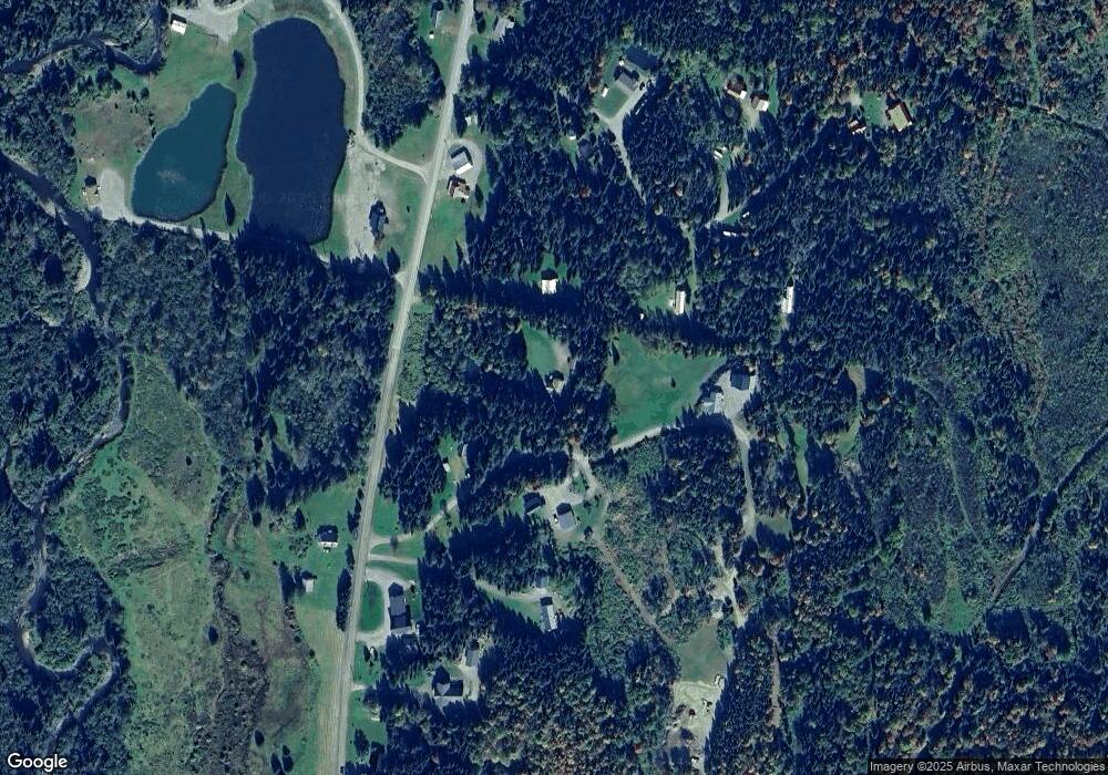
Map
Nearby Homes
- 0 Gp Blvd Unit 26A
- 31 Beaver Brook Rd
- 133 Philbrook Rd
- 166 Spooner Rd
- 25 Spooner Rd
- 75 Timberland Rd
- - Dorman Rd
- 56 the Tarns Rd
- 15 Cone Pass
- 1198 Indian Stream Rd
- 12 Lake Francis Dr
- 26 Dalton Rd
- 1495 Main St
- 393 G P Loop Rd
- 1298 S Main St
- 00 Bog Branch Rd
- 456 Indian Stream Rd
- 7 Cedric Rd
- TBD Tabor Rd
- 86 Ferguson Rd Unit 13 A
Your Personal Tour Guide
Ask me questions while you tour the home.