152 Francis Rd East Wakefield, NH 03830
Estimated Value: $474,000 - $491,000
3
Beds
2
Baths
1,989
Sq Ft
$244/Sq Ft
Est. Value
About This Home
This home is located at 152 Francis Rd, East Wakefield, NH 03830 and is currently estimated at $485,454, approximately $244 per square foot. 152 Francis Rd is a home with nearby schools including Paul Elementary School.
Ownership History
Date
Name
Owned For
Owner Type
Purchase Details
Closed on
Oct 16, 2023
Sold by
Moutsoulas Lykourgos and Moutsoulas Amanda L
Bought by
Moutsoulas Lykourgos
Current Estimated Value
Home Financials for this Owner
Home Financials are based on the most recent Mortgage that was taken out on this home.
Original Mortgage
$20,000
Outstanding Balance
$16,658
Interest Rate
7.18%
Mortgage Type
Stand Alone Refi Refinance Of Original Loan
Estimated Equity
$468,796
Create a Home Valuation Report for This Property
The Home Valuation Report is an in-depth analysis detailing your home's value as well as a comparison with similar homes in the area
Home Values in the Area
Average Home Value in this Area
Purchase History
| Date | Buyer | Sale Price | Title Company |
|---|---|---|---|
| Moutsoulas Lykourgos | -- | None Available | |
| Moutsoulas Lykourgos | -- | None Available |
Source: Public Records
Mortgage History
| Date | Status | Borrower | Loan Amount |
|---|---|---|---|
| Open | Moutsoulas Lykourgos | $20,000 | |
| Closed | Moutsoulas Lykourgos | $20,000 |
Source: Public Records
Tax History
| Year | Tax Paid | Tax Assessment Tax Assessment Total Assessment is a certain percentage of the fair market value that is determined by local assessors to be the total taxable value of land and additions on the property. | Land | Improvement |
|---|---|---|---|---|
| 2025 | $3,519 | $404,000 | $69,100 | $334,900 |
| 2024 | $3,038 | $404,000 | $69,100 | $334,900 |
| 2023 | $2,767 | $404,000 | $69,100 | $334,900 |
| 2022 | $2,795 | $228,200 | $34,700 | $193,500 |
| 2021 | $2,790 | $226,100 | $34,700 | $191,400 |
| 2020 | $2,799 | $226,100 | $34,700 | $191,400 |
| 2019 | $2,819 | $226,100 | $34,700 | $191,400 |
| 2018 | $2,546 | $226,100 | $34,700 | $191,400 |
| 2017 | $2,205 | $174,300 | $32,000 | $142,300 |
| 2016 | $2,255 | $174,300 | $32,000 | $142,300 |
| 2015 | $2,276 | $174,300 | $32,000 | $142,300 |
| 2014 | $2,221 | $174,300 | $32,000 | $142,300 |
| 2013 | $2,140 | $174,300 | $32,000 | $142,300 |
Source: Public Records
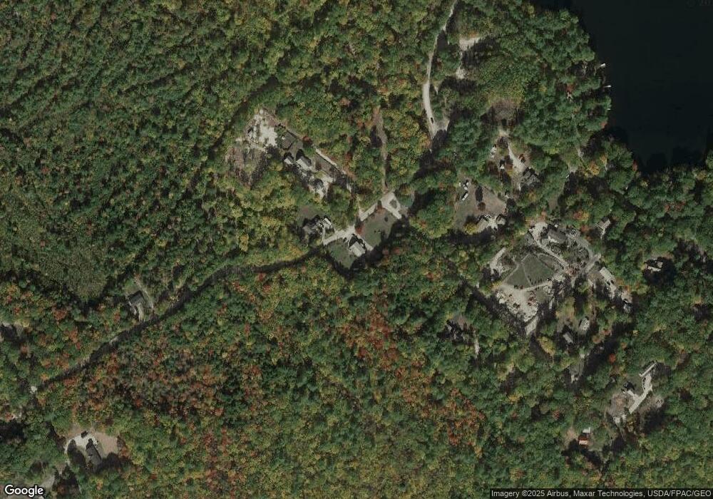
Map
Nearby Homes
- 29 Concord Ln
- Lots 30 + 18 Thornhill Rd
- 62 Thoreau Trail
- 2403 Province Lake Rd Unit 21000
- 115 Chandler Ln
- 89 Joe Del Dr
- 8 Eliot Dr
- 51 Mill Pond Rd
- Lot 4 Scribner Hill Extension
- 531 Abbott Rd
- 103 Goodwin Rd
- Parcel #1 Sanborn Rd
- 319 Asbury Ln
- 63 Dandy Rd
- 0 White Mountain Hwy Unit 20
- 00 Beverly Hills Dr Unit 3
- 99 Pray Hill Rd
- 00 Libby Rd Unit Lot 9
- 422 Buzzell Rd
- 163 Buzzell Rd
- 137 Francis Rd
- 137 Francis Rd Unit 9
- 2 Deer Run Rd
- 0 Valley Brook Rd
- 159 Francis Rd
- 52 Deer Run Rd
- 19 Valley Brook Rd
- Lot 23 Mary Rd
- 27 Valley Brook Rd
- 84 Deer Run Rd Unit 56
- 84 Deer Run Rd
- Lot 2 Deer Run Rd
- 57 Francis Rd
- 153 Mary Rd
- 134 Mary Rd
- 31 Au Bord Du Lac Rd
- 83 Au Bord Du Lac Rd
- 00 Au Bord Du Lac Rd
- 47 & 17 Au Bord Du Lac Rd
- Lots 17 & 47 Au Bord Du Lac Rd
Your Personal Tour Guide
Ask me questions while you tour the home.