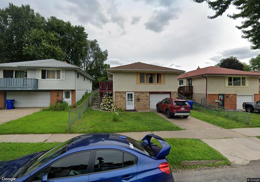
1520 Mcafee St Saint Paul, MN 55106
Estimated Value: $261,000 - $293,000
3
Beds
1
Bath
1,218
Sq Ft
$228/Sq Ft
Est. Value
About This Home
This home is located at 1520 Mcafee St, Saint Paul, MN 55106 and is currently estimated at $277,638, approximately $227 per square foot. 1520 Mcafee St is a home located in Ramsey County with nearby schools including Frost Lake Elementary School, Txuj Ci HMong Language and Culture Upper Campus, and Johnson Senior High School.
Ownership History
Date
Name
Owned For
Owner Type
Purchase Details
Closed on
Jun 17, 2016
Sold by
Nay Heh and Soe Celia
Bought by
Berry Htoo Hto L and Berry Paw
Current Estimated Value
Home Financials for this Owner
Home Financials are based on the most recent Mortgage that was taken out on this home.
Original Mortgage
$67,500
Outstanding Balance
$30,217
Interest Rate
3.58%
Estimated Equity
$247,421
Purchase Details
Closed on
Sep 22, 2009
Sold by
Federal Natl Mtg Assoc
Bought by
Htoo Hto L and Nav Heh
Purchase Details
Closed on
Sep 18, 1998
Sold by
Johnson Dean R
Bought by
Yang Vang Xue
Create a Home Valuation Report for This Property
The Home Valuation Report is an in-depth analysis detailing your home's value as well as a comparison with similar homes in the area
Home Values in the Area
Average Home Value in this Area
Purchase History
| Date | Buyer | Sale Price | Title Company |
|---|---|---|---|
| Berry Htoo Hto L | -- | First American Title Ins Co | |
| Htoo Hto L | $94,000 | -- | |
| Yang Vang Xue | $96,000 | -- |
Source: Public Records
Mortgage History
| Date | Status | Borrower | Loan Amount |
|---|---|---|---|
| Open | Berry Htoo Hto L | $67,500 |
Source: Public Records
Tax History Compared to Growth
Tax History
| Year | Tax Paid | Tax Assessment Tax Assessment Total Assessment is a certain percentage of the fair market value that is determined by local assessors to be the total taxable value of land and additions on the property. | Land | Improvement |
|---|---|---|---|---|
| 2025 | $3,470 | $250,100 | $30,000 | $220,100 |
| 2023 | $3,470 | $233,900 | $25,000 | $208,900 |
| 2022 | $3,254 | $267,200 | $25,000 | $242,200 |
| 2021 | $2,816 | $211,800 | $25,000 | $186,800 |
| 2020 | $2,684 | $191,700 | $10,900 | $180,800 |
| 2019 | $3,056 | $173,100 | $10,900 | $162,200 |
| 2018 | $2,244 | $173,100 | $10,900 | $162,200 |
| 2017 | $1,996 | $153,100 | $10,900 | $142,200 |
| 2016 | $1,846 | $0 | $0 | $0 |
| 2015 | $1,912 | $130,800 | $10,900 | $119,900 |
| 2014 | $1,396 | $0 | $0 | $0 |
Source: Public Records
Map
Nearby Homes
- 1567 Atlantic St
- 1639 Clarence St
- 1450 Arlington Ave E
- 1377 Clarence St
- 1357 Birmingham St
- 1672 Manton St
- 1435 Price Ave
- 1714 Duluth St
- 1730 Atlantic St
- 1751 Clarence St
- 1532 Larpenteur Ave E
- 1583 Nevada Ave E
- 866 Clear Ave E
- 1607 Hoyt Ave E
- 1229 Clarence St
- 1221 Clarence St
- 1562 Ivy Ave E
- 1637 Iowa Ave E
- 1343 Maryland Ave E
- 1627 Christie Place
- 1524 Mcafee St
- 1516 Mcafee St
- 1528 Mcafee St
- 1512 Mcafee St
- 1532 Mcafee St
- 1508 Mcafee St
- 1517 Clarence St
- 1511 Clarence St
- 1536 Mcafee St
- 1536 1536 McAfee-street-
- 1504 Mcafee St
- 1507 Clarence St
- 1533 Clarence St
- 1513 Mcafee St
- 1521 Mcafee St
- 1540 Mcafee St
- 1501 Clarence St
- 1505 Mcafee St
- 1533 Mcafee St
- 1537 Clarence St