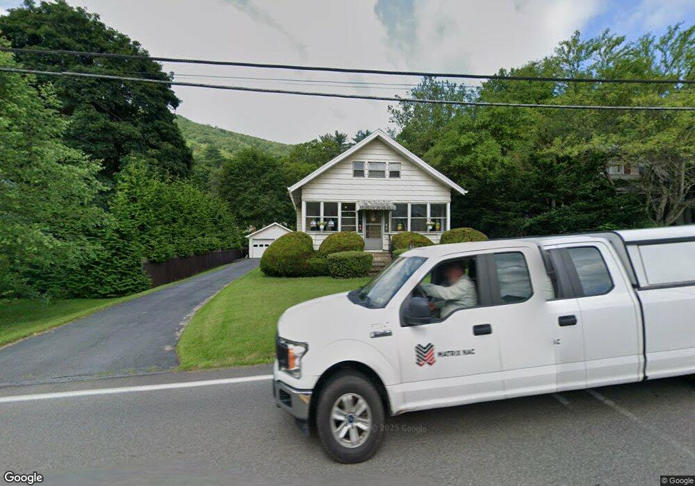
1520 State Route 92 Hwy Harding, PA 18643
Estimated Value: $176,653 - $434,000
--
Bed
--
Bath
1,968
Sq Ft
$135/Sq Ft
Est. Value
About This Home
This home is located at 1520 State Route 92 Hwy, Harding, PA 18643 and is currently estimated at $265,413, approximately $134 per square foot. 1520 State Route 92 Hwy is a home located in Luzerne County with nearby schools including Wyoming Area Secondary Center and Wyoming Area Catholic School.
Ownership History
Date
Name
Owned For
Owner Type
Purchase Details
Closed on
Jul 29, 2005
Sold by
Stahl Warren E and Sheperis Stahl Linda C
Bought by
Messina Michael A and Messina Donna M
Current Estimated Value
Home Financials for this Owner
Home Financials are based on the most recent Mortgage that was taken out on this home.
Original Mortgage
$64,000
Interest Rate
5.67%
Mortgage Type
New Conventional
Create a Home Valuation Report for This Property
The Home Valuation Report is an in-depth analysis detailing your home's value as well as a comparison with similar homes in the area
Home Values in the Area
Average Home Value in this Area
Purchase History
| Date | Buyer | Sale Price | Title Company |
|---|---|---|---|
| Messina Michael A | $80,000 | None Available |
Source: Public Records
Mortgage History
| Date | Status | Borrower | Loan Amount |
|---|---|---|---|
| Closed | Messina Michael A | $64,000 |
Source: Public Records
Tax History Compared to Growth
Tax History
| Year | Tax Paid | Tax Assessment Tax Assessment Total Assessment is a certain percentage of the fair market value that is determined by local assessors to be the total taxable value of land and additions on the property. | Land | Improvement |
|---|---|---|---|---|
| 2025 | $3,056 | $105,300 | $18,800 | $86,500 |
| 2024 | $2,920 | $105,300 | $18,800 | $86,500 |
| 2023 | $2,725 | $105,300 | $18,800 | $86,500 |
| 2022 | $2,706 | $105,300 | $18,800 | $86,500 |
| 2021 | $2,668 | $105,300 | $18,800 | $86,500 |
| 2020 | $2,605 | $105,300 | $18,800 | $86,500 |
| 2019 | $2,531 | $105,300 | $18,800 | $86,500 |
| 2018 | $2,445 | $105,300 | $18,800 | $86,500 |
| 2017 | $2,390 | $105,300 | $18,800 | $86,500 |
| 2016 | -- | $105,300 | $18,800 | $86,500 |
| 2015 | -- | $105,300 | $18,800 | $86,500 |
| 2014 | -- | $105,300 | $18,800 | $86,500 |
Source: Public Records
Map
Nearby Homes
- 750 Slocum Ave
- 0 Wintermoot Island Unit 25-5891
- 675 Apple Tree Rd
- 212 Bennett St
- 846 Exeter Ave
- 827 Luzerne Ave
- 707 Exeter Ave
- 41 Gashi Rd
- 578 N Main St
- 0 Exeter Ave
- 3018 Main St
- 3061 Main St
- 163 Chapel St
- 633 Campground Rd
- 112 Chittenden St
- 114 Chittenden St
- 222 Luzerne Ave
- 15 Huckleberry Ln
- 355 Baltimore Ave
- 11 Joshua Ln
- 1524 State Route 92 Hwy
- 1518 State Route 92 Hwy
- 1515 Sullivan Trail
- 1524 Pennsylvania 92
- 92 Sullivan St
- 704 Jean St
- 1525 Sullivan Trail
- 701 Jean St
- 703 Jean St
- 608 Jean St
- 1531 State Route 92 Hwy
- 1016 Oberdorfer Rd
- 173 Jean St
- LOT 6 Noah Lane Applewood Estates
- LOT 5 Noah Lane Applewood Estates
- 705 Jean St
- 1533 State Route 92 Hwy
- 707 Jean St
- 709 Jean St
- 1535 State Route 92 Hwy