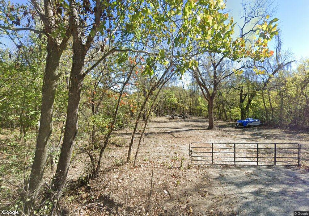
1520 State Route Z Franklin, MO 65250
Estimated Value: $389,000 - $740,000
3
Beds
4
Baths
2,385
Sq Ft
$215/Sq Ft
Est. Value
About This Home
This home is located at 1520 State Route Z, Franklin, MO 65250 and is currently estimated at $513,667, approximately $215 per square foot. 1520 State Route Z is a home located in Howard County with nearby schools including New Franklin Elementary School and New Franklin Middle/High School.
Ownership History
Date
Name
Owned For
Owner Type
Purchase Details
Closed on
Mar 12, 2013
Sold by
Matyas Jasen S
Bought by
Matyas Jasen S and Matyas John S
Current Estimated Value
Home Financials for this Owner
Home Financials are based on the most recent Mortgage that was taken out on this home.
Original Mortgage
$12,062
Outstanding Balance
$8,531
Interest Rate
3.59%
Mortgage Type
Future Advance Clause Open End Mortgage
Estimated Equity
$505,136
Purchase Details
Closed on
May 24, 2012
Sold by
Matyas Megan M
Bought by
Matyas Jasen S
Create a Home Valuation Report for This Property
The Home Valuation Report is an in-depth analysis detailing your home's value as well as a comparison with similar homes in the area
Home Values in the Area
Average Home Value in this Area
Purchase History
| Date | Buyer | Sale Price | Title Company |
|---|---|---|---|
| Matyas Jasen S | -- | -- | |
| Matyas Jasen S | -- | -- |
Source: Public Records
Mortgage History
| Date | Status | Borrower | Loan Amount |
|---|---|---|---|
| Open | Matyas Jasen S | $12,062 | |
| Open | Matyas Jasen S | $147,200 |
Source: Public Records
Tax History Compared to Growth
Tax History
| Year | Tax Paid | Tax Assessment Tax Assessment Total Assessment is a certain percentage of the fair market value that is determined by local assessors to be the total taxable value of land and additions on the property. | Land | Improvement |
|---|---|---|---|---|
| 2025 | $2,613 | $36,260 | $0 | $0 |
| 2024 | $2,613 | $36,260 | $0 | $0 |
| 2023 | $2,614 | $36,260 | $0 | $0 |
| 2022 | $2,614 | $36,260 | $0 | $0 |
| 2021 | $2,460 | $36,260 | $0 | $0 |
| 2020 | $2,469 | $36,260 | $0 | $0 |
| 2019 | $2,065 | $36,260 | $0 | $0 |
| 2018 | $2,053 | $36,260 | $0 | $0 |
| 2017 | $2,035 | $36,260 | $0 | $0 |
| 2016 | $2,034 | $36,260 | $0 | $0 |
| 2015 | -- | $36,260 | $0 | $0 |
| 2014 | -- | $36,260 | $0 | $0 |
| 2013 | -- | $36,260 | $0 | $0 |
| 2012 | -- | $36,260 | $0 | $0 |
Source: Public Records
Map
Nearby Homes
- 5440 Highway 87
- Walther Ln Unit Lot WP001
- LOT 2 Ferry Rd
- LOT 1 Ferry Rd
- 0 Ferry Rd
- Lot #2 Rosewood Estates Cr 334b Unit Phase 3
- Lot #1 Rosewood Estates Cr 334b Unit Phase 3
- 460 and 462 County Road 328
- Lot 1- 5 35ac Raybar Dr
- Lot 2- 5 95ac Raybar Dr
- 460 County Road 328
- 462 County Road 328
- 0 Tbd Lewis & Clark Dr Unit 425991
- The Serengeti - Slab Plan at Grandview Acres - Nature Series
- The Stetson - Slab Plan at Grandview Acres - Parkside Series
- The Mercer - Slab Plan at Grandview Acres - Parkside Series
- The Sunbury - Slab Plan at Grandview Acres - Parkside Series
- The Geneva - Slab Foundation Plan at Grandview Acres - Nature Series
- The Weston - Slab Plan at Grandview Acres - Parkside Series
- The Becket - Slab Plan at Grandview Acres - Parkside Series
