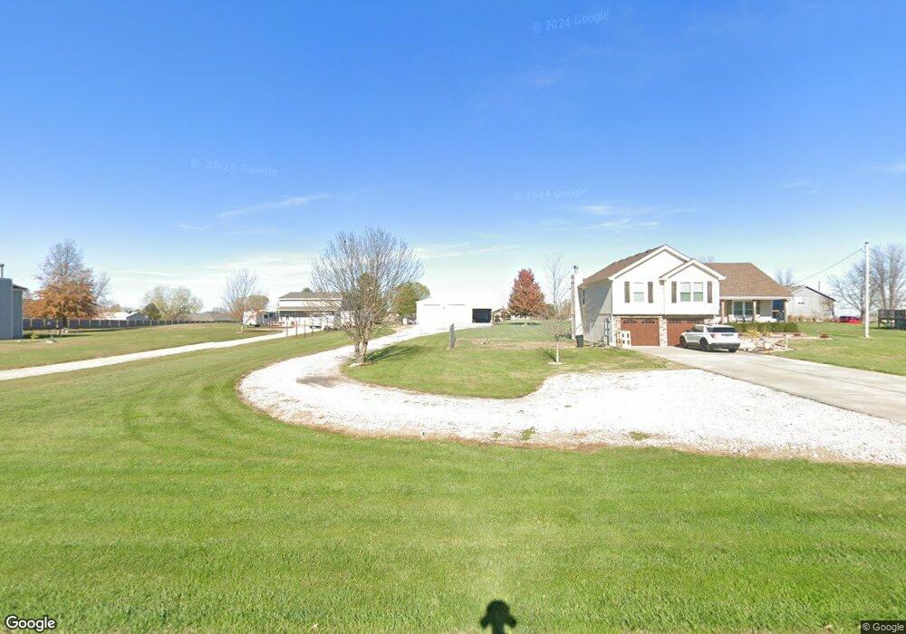
15200 Roger Rd Leavenworth, KS 66048
Estimated Value: $397,000 - $418,000
3
Beds
2
Baths
1,552
Sq Ft
$264/Sq Ft
Est. Value
About This Home
This home is located at 15200 Roger Rd, Leavenworth, KS 66048 and is currently estimated at $409,985, approximately $264 per square foot. 15200 Roger Rd is a home located in Leavenworth County with nearby schools including Lansing Elementary School, Lansing Middle 6-8, and Lansing High 9-12.
Ownership History
Date
Name
Owned For
Owner Type
Purchase Details
Closed on
Mar 17, 2020
Sold by
Bagby Randal E and Bagby Dianna L
Bought by
Cigich Amanda Sue
Current Estimated Value
Home Financials for this Owner
Home Financials are based on the most recent Mortgage that was taken out on this home.
Original Mortgage
$308,348
Outstanding Balance
$272,565
Interest Rate
3.4%
Mortgage Type
FHA
Estimated Equity
$143,835
Purchase Details
Closed on
Jul 1, 2004
Bought by
Bagby Randal E and Bagby Dianna L
Home Financials for this Owner
Home Financials are based on the most recent Mortgage that was taken out on this home.
Original Mortgage
$182,144
Interest Rate
6.21%
Mortgage Type
New Conventional
Create a Home Valuation Report for This Property
The Home Valuation Report is an in-depth analysis detailing your home's value as well as a comparison with similar homes in the area
Home Values in the Area
Average Home Value in this Area
Purchase History
| Date | Buyer | Sale Price | Title Company |
|---|---|---|---|
| Cigich Amanda Sue | $309,411 | Alliance Title Co | |
| Cigich Amanda S | -- | New Title Company Name | |
| Bagby Randal E | $201,000 | -- |
Source: Public Records
Mortgage History
| Date | Status | Borrower | Loan Amount |
|---|---|---|---|
| Open | Cigich Amanda S | $308,348 | |
| Closed | Cigich Amanda Sue | $306,348 | |
| Previous Owner | Bagby Randal E | $182,144 | |
| Closed | Bagby Randal E | $25,000 |
Source: Public Records
Tax History Compared to Growth
Tax History
| Year | Tax Paid | Tax Assessment Tax Assessment Total Assessment is a certain percentage of the fair market value that is determined by local assessors to be the total taxable value of land and additions on the property. | Land | Improvement |
|---|---|---|---|---|
| 2025 | $4,622 | $43,125 | $7,252 | $35,873 |
| 2024 | $4,294 | $41,766 | $6,738 | $35,028 |
| 2023 | $4,294 | $40,549 | $6,738 | $33,811 |
| 2022 | $4,086 | $37,180 | $5,770 | $31,410 |
| 2021 | $3,727 | $33,626 | $4,893 | $28,733 |
| 2020 | $3,434 | $30,498 | $4,706 | $25,792 |
| 2019 | $3,412 | $30,498 | $4,361 | $26,137 |
| 2018 | $2,915 | $26,140 | $3,441 | $22,699 |
| 2017 | $2,875 | $25,714 | $3,246 | $22,468 |
| 2016 | $2,860 | $25,714 | $3,211 | $22,503 |
| 2015 | $2,675 | $24,104 | $3,211 | $20,893 |
| 2014 | $2,585 | $23,725 | $3,211 | $20,514 |
Source: Public Records
Map
Nearby Homes
- 15280 Roger Rd
- 15038 Fairmount Rd
- 14934 Fairmount Rd
- 22617 155th St
- 23802 140th St
- Lot 2 139th St
- 14165 Ashbury Ct
- 6508 141st St
- 13965 Mc Intyre Rd
- 833 Rock Creek Dr
- 24431 139th St
- 5025 146th St
- 5023 146th St
- 705 Rock Creek Dr
- 5005 146th St
- 5020 146th St
- 5018 146th St
- 1221 S Desoto Rd
- 5001 N 145th St
- 875 Clearview Dr
- 15150 Roger Rd
- 15230 Roger Rd
- 23501 152nd St
- 15201 Roger Rd
- 15151 Roger Rd
- 15231 Roger Rd
- 23502 153rd St
- 23525 152nd St
- 23475 151st St
- 23501 151st St
- 23526 153rd St
- 23537 151st St
- 15247 Dempsey Rd
- 15294 Roger Rd
- 15200 Brandt Rd
- 15251 Dempsey Rd
- 15141 Dempsey Rd
- 15150 Brandt Rd
- 23501 153rd St
- 23425 151st St