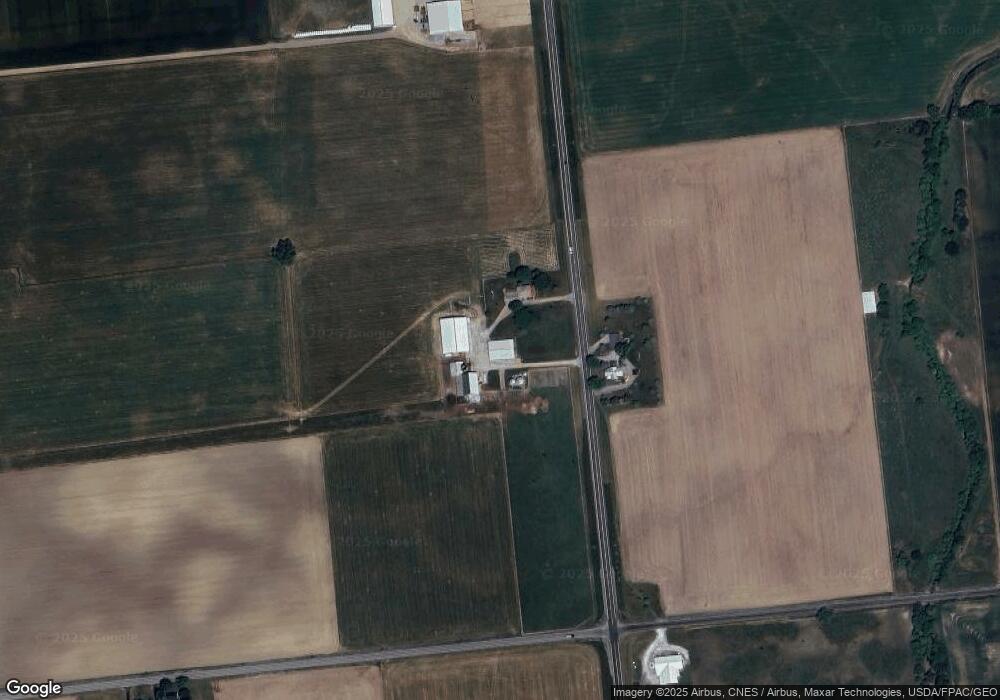
15201 State Route 292 Kenton, OH 43326
--
Bed
2
Baths
--
Sq Ft
84.42
Acres
About This Home
This home is located at 15201 State Route 292, Kenton, OH 43326. 15201 State Route 292 is a home located in Hardin County with nearby schools including Ridgemont Elementary School, Ridgemont High School, and Hardin Community School.
Ownership History
Date
Name
Owned For
Owner Type
Purchase Details
Closed on
Feb 18, 2025
Sold by
Gibson David P and Jolliff Leisa M
Bought by
Gibson David P
Home Financials for this Owner
Home Financials are based on the most recent Mortgage that was taken out on this home.
Original Mortgage
$180,000
Outstanding Balance
$178,935
Interest Rate
6.93%
Mortgage Type
New Conventional
Purchase Details
Closed on
Jun 23, 2010
Sold by
Demmitt Kathleen J
Bought by
Gibson David P and Jolli Ff Leisa M
Purchase Details
Closed on
Oct 24, 2003
Bought by
Demmitt Kathleen J
Purchase Details
Closed on
Jan 21, 1999
Bought by
Demmitt Kathleen J
Purchase Details
Closed on
Feb 16, 1996
Bought by
Demmitt Kathleen J
Create a Home Valuation Report for This Property
The Home Valuation Report is an in-depth analysis detailing your home's value as well as a comparison with similar homes in the area
Home Values in the Area
Average Home Value in this Area
Purchase History
| Date | Buyer | Sale Price | Title Company |
|---|---|---|---|
| Gibson David P | $180,000 | None Listed On Document | |
| Gibson David P | $180,000 | None Listed On Document | |
| Gibson David P | -- | None Available | |
| Demmitt Kathleen J | -- | -- | |
| Demmitt Kathleen J | -- | -- | |
| Demmitt Kathleen J | -- | -- |
Source: Public Records
Mortgage History
| Date | Status | Borrower | Loan Amount |
|---|---|---|---|
| Open | Gibson David P | $180,000 | |
| Closed | Gibson David P | $180,000 |
Source: Public Records
Tax History Compared to Growth
Tax History
| Year | Tax Paid | Tax Assessment Tax Assessment Total Assessment is a certain percentage of the fair market value that is determined by local assessors to be the total taxable value of land and additions on the property. | Land | Improvement |
|---|---|---|---|---|
| 2024 | $3,113 | $75,840 | $73,580 | $2,260 |
| 2023 | $3,113 | $75,840 | $73,580 | $2,260 |
| 2022 | $1,724 | $36,570 | $36,570 | $0 |
| 2021 | $1,817 | $40,220 | $38,710 | $1,510 |
| 2020 | $1,884 | $40,220 | $38,710 | $1,510 |
| 2019 | $2,752 | $67,330 | $65,820 | $1,510 |
| 2018 | $2,739 | $67,330 | $65,820 | $1,510 |
| 2017 | $1,331 | $67,330 | $65,820 | $1,510 |
| 2016 | $3,397 | $89,090 | $89,090 | $0 |
| 2015 | $3,187 | $89,090 | $89,090 | $0 |
| 2014 | $1,594 | $89,270 | $89,270 | $0 |
| 2013 | $765 | $37,890 | $37,890 | $0 |
Source: Public Records
Map
Nearby Homes
- 13450 State Route 292
- 320 Letson Ave
- 727 S Detroit St
- 639 S Main St
- 920 Cooper St
- 414 Robinson Ave
- 510 Decatur St
- 508 Decatur St
- 115 Scioto St
- 530 E Franklin St
- 121 S High St
- 513 E Franklin St
- 11896 Parklane Dr
- 39 Grape St
- 79 Broadway St
- 726 Tracy St
- 509 E Carrol St
- 702 W Franklin St Unit 702 1/2
- 219 W Carrol St
- 215 N Main St
- 15201 State Route 292
- 15248 State Route 292
- 15476 State Route 292
- 15010 State Route 292
- 14931 State Route 292
- 15034 Township Road 180
- 14789 State Route 292
- 15757 State Route 292
- 14698 State Route 292
- 14705 State Route 292
- 15823 Township Road 180
- 15854 State Route 292
- 15844 Township Road 180
- 15888 State Route 292
- 14574 State Route 292
- 14539 State Route 292
- 15928 Township Road 180
- 15969 State Route 292
- 15996 Sr 292