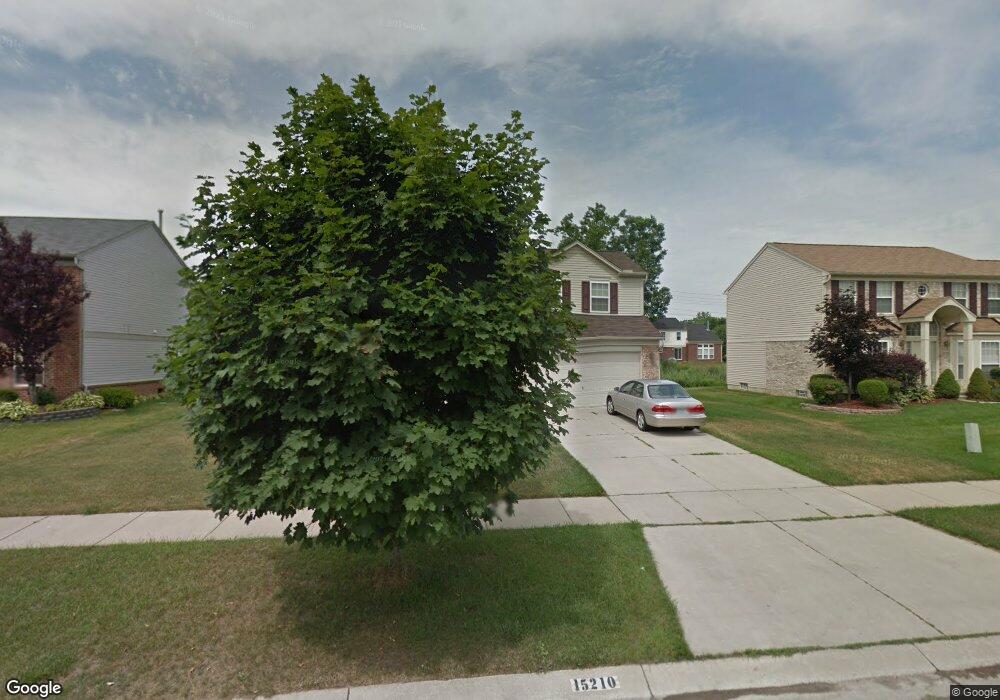
15210 Brookside Dr Unit 114 van Buren Township, MI 48111
Estimated Value: $373,474 - $432,000
--
Bed
1
Bath
2,243
Sq Ft
$179/Sq Ft
Est. Value
About This Home
This home is located at 15210 Brookside Dr Unit 114, van Buren Township, MI 48111 and is currently estimated at $400,619, approximately $178 per square foot. 15210 Brookside Dr Unit 114 is a home located in Wayne County with nearby schools including Savage Road Elementary School, Owen Intermediate School, and McBride Middle School.
Ownership History
Date
Name
Owned For
Owner Type
Purchase Details
Closed on
Jul 26, 2006
Sold by
Gillespie Duvall P
Bought by
Gillespie Duvall P
Current Estimated Value
Home Financials for this Owner
Home Financials are based on the most recent Mortgage that was taken out on this home.
Original Mortgage
$188,000
Outstanding Balance
$113,423
Interest Rate
6.85%
Mortgage Type
New Conventional
Estimated Equity
$287,196
Purchase Details
Closed on
Feb 18, 2003
Sold by
C A Kime Inc
Bought by
Gillespie Duvall P
Create a Home Valuation Report for This Property
The Home Valuation Report is an in-depth analysis detailing your home's value as well as a comparison with similar homes in the area
Home Values in the Area
Average Home Value in this Area
Purchase History
| Date | Buyer | Sale Price | Title Company |
|---|---|---|---|
| Gillespie Duvall P | -- | Philip R Seaver Title Co | |
| Gillespie Duvall P | $233,865 | First Michigan Title Inc |
Source: Public Records
Mortgage History
| Date | Status | Borrower | Loan Amount |
|---|---|---|---|
| Open | Gillespie Duvall P | $188,000 |
Source: Public Records
Tax History Compared to Growth
Tax History
| Year | Tax Paid | Tax Assessment Tax Assessment Total Assessment is a certain percentage of the fair market value that is determined by local assessors to be the total taxable value of land and additions on the property. | Land | Improvement |
|---|---|---|---|---|
| 2025 | $2,010 | $175,900 | $0 | $0 |
| 2024 | $2,010 | $163,800 | $0 | $0 |
| 2023 | $1,918 | $146,000 | $0 | $0 |
| 2022 | $3,129 | $131,700 | $0 | $0 |
| 2021 | $3,088 | $124,100 | $0 | $0 |
| 2020 | $3,041 | $120,300 | $0 | $0 |
| 2019 | $2,971 | $113,300 | $0 | $0 |
| 2018 | $1,501 | $109,000 | $0 | $0 |
| 2017 | $2,791 | $106,200 | $0 | $0 |
| 2016 | $2,527 | $108,500 | $0 | $0 |
| 2015 | $7,742 | $95,000 | $0 | $0 |
| 2013 | $7,580 | $75,800 | $0 | $0 |
| 2010 | -- | $76,800 | $0 | $0 |
Source: Public Records
Map
Nearby Homes
- 15005 Wildbrook Dr Unit 82
- 43103 Pond Bluff Dr
- 41257 S Woodbury Green Dr Unit 138
- 41264 N Woodbury Green Dr Unit 107
- 13702 Lenmoore Rd
- 42499 Colonial Rd
- 42587 Colonial Rd
- 42466 Colonial Rd
- 14333 Pond Bluff Dr
- 41134 N Woodbury Green Dr
- 42984 Lexington Ct
- 13970 Winding Pond Ln Unit 102
- 41102 N Woodbury Green Dr
- 42811 Colonial Rd
- 13805 Pond Bluff Dr
- 42720 Riggs Rd
- 13656 Cambridge Ct
- 13456 Stamford Rd
- 13375 Stamford Rd
- 13337 N Cumberland Dr Unit 105
- 15242 Brookside Dr Unit Bldg-Unit
- 15242 Brookside Dr Unit 115
- 15180 Brookside Dr Unit 113
- 15219 Brookside Dr Unit 167
- 15156 Brookside Dr Unit 112
- 15276 Brookside Dr
- 15185 Brookside Dr
- 15241 Brookside Dr Unit Bldg-Unit
- 15241 Brookside Dr
- 15223 Pebblebrook Dr Unit 75
- 15193 Pebblebrook Dr Unit 76
- 15155 Brookside Dr Unit 169
- 15281 Brookside Dr Unit 165
- 15255 Pebblebrook Dr Unit 74
- 15310 Brookside Dr Unit 117
- 15122 Brookside Dr Unit 111
- 15165 Pebblebrook Dr Unit 77
- 15307 Brookside Dr Unit 164
- 15117 Brookside Dr Unit 170
- 15293 Pebblebrook Dr Unit 73