Estimated Value: $317,000 - $378,000
2
Beds
2
Baths
2,254
Sq Ft
$153/Sq Ft
Est. Value
About This Home
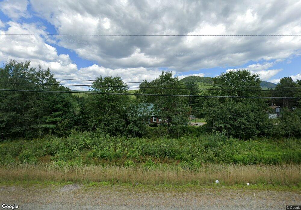
This home is located at 1522 Stark Hwy, Stark, NH 03582 and is currently estimated at $345,446, approximately $153 per square foot. 1522 Stark Hwy is a home located in Coos County.
Ownership History
Date
Name
Owned For
Owner Type
Purchase Details
Closed on
Sep 29, 2000
Sold by
Gosselin Adrien L
Bought by
Jackson Carolyn L
Current Estimated Value
Home Financials for this Owner
Home Financials are based on the most recent Mortgage that was taken out on this home.
Original Mortgage
$62,000
Outstanding Balance
$22,643
Interest Rate
7.94%
Estimated Equity
$322,803
Create a Home Valuation Report for This Property
The Home Valuation Report is an in-depth analysis detailing your home's value as well as a comparison with similar homes in the area
Home Values in the Area
Average Home Value in this Area
Purchase History
| Date | Buyer | Sale Price | Title Company |
|---|---|---|---|
| Jackson Carolyn L | $92,000 | -- |
Source: Public Records
Mortgage History
| Date | Status | Borrower | Loan Amount |
|---|---|---|---|
| Open | Jackson Carolyn L | $62,000 |
Source: Public Records
Tax History Compared to Growth
Tax History
| Year | Tax Paid | Tax Assessment Tax Assessment Total Assessment is a certain percentage of the fair market value that is determined by local assessors to be the total taxable value of land and additions on the property. | Land | Improvement |
|---|---|---|---|---|
| 2024 | $3,765 | $346,700 | $102,300 | $244,400 |
| 2023 | $3,299 | $159,200 | $42,700 | $116,500 |
| 2022 | $2,605 | $159,200 | $42,700 | $116,500 |
| 2021 | $3,171 | $159,200 | $42,700 | $116,500 |
| 2020 | $2,866 | $159,200 | $42,700 | $116,500 |
| 2019 | $2,877 | $159,200 | $42,700 | $116,500 |
| 2018 | $2,538 | $141,300 | $31,900 | $109,400 |
| 2017 | $2,570 | $141,300 | $31,900 | $109,400 |
| 2016 | $2,461 | $141,300 | $31,900 | $109,400 |
| 2015 | $2,404 | $141,300 | $31,900 | $109,400 |
| 2014 | $2,405 | $137,600 | $31,900 | $105,700 |
| 2013 | $2,636 | $150,800 | $35,400 | $115,400 |
Source: Public Records
Map
Nearby Homes
- 238 Northside Rd
- 750 Percy Rd
- 388 Percy Rd
- 338 Percy Rd
- 1435 Lost Nation Rd
- 112 Normand Rd
- 406 New Hampshire 110
- 68 Short Rd
- 13 Hillside Ave
- 41 Crow Hill St
- 18 State St
- 50 Church St
- 38 Riverside Dr
- 102 Hillside Ave
- 14 Summer St
- 88 State St
- 53 Montgomery Rd
- 00 Bell Hill Rd
- 00 Mountain View Rd
- 0 Mountain View Rd
- 1516 Stark Hwy
- 1542 Stark Hwy
- 24 Town Garage Rd
- 2 Croteau Rd
- 9 Town Garage Rd
- 7 Town Garage Rd
- 53 Town Garage Rd
- 16 Croteau Rd
- 00 Spaulding Hill Rd Unit 2
- 00 Spaulding Hill Rd Unit Lot 2
- 00 Spaulding Hill Rd
- 4.6 Pike Pond Rd
- Lot 4B Pike Pond Rd
- Lot 4 Pike Pond Rd
- 1148 Rte 3 Lancaster Rd
- 50 Pilot Mountain Rd
- 42 Lunn Rd
- 42 Pilot Mountain Rd
- 55 Town Garage Rd
- 66 Croteau Rd