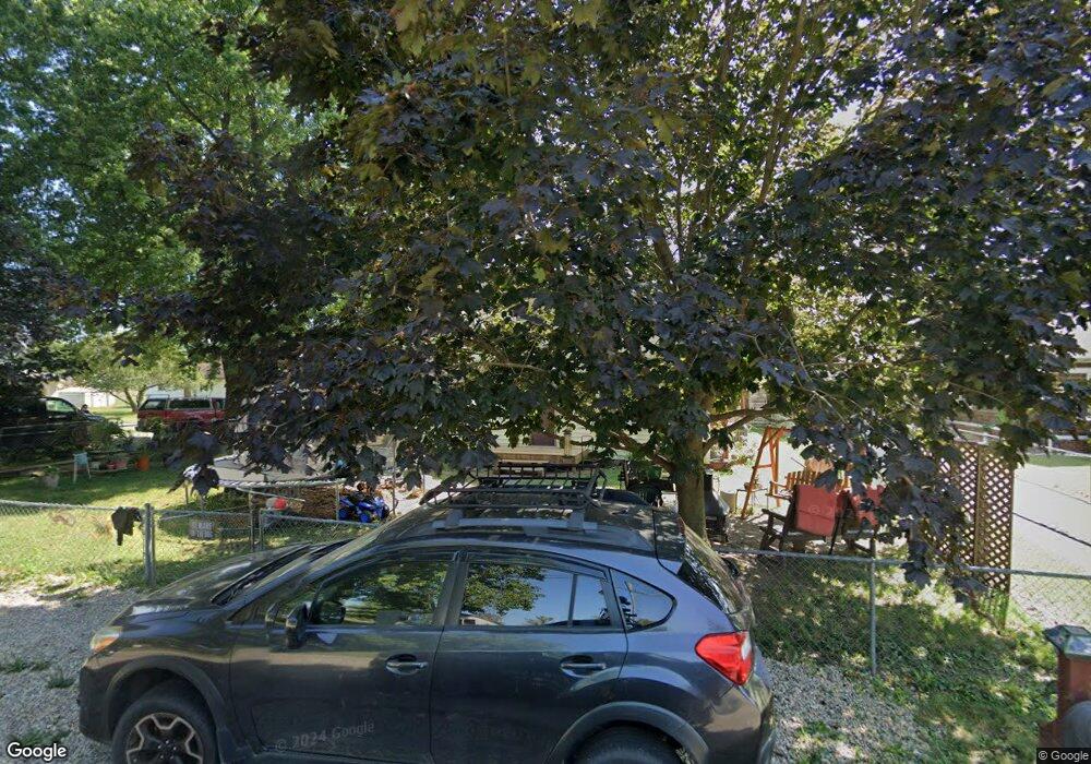
1523 Shady Ln Columbus, IN 47201
Estimated Value: $217,000 - $253,000
5
Beds
3
Baths
1,792
Sq Ft
$133/Sq Ft
Est. Value
About This Home
This home is located at 1523 Shady Ln, Columbus, IN 47201 and is currently estimated at $237,731, approximately $132 per square foot. 1523 Shady Ln is a home located in Bartholomew County with nearby schools including Taylorsville Elementary School, Northside Middle School, and Columbus North High School.
Ownership History
Date
Name
Owned For
Owner Type
Purchase Details
Closed on
Sep 15, 2008
Sold by
Not Provided
Bought by
Pierce Uriah D and Pierce Debrah K
Current Estimated Value
Purchase Details
Closed on
Sep 12, 2008
Sold by
Housing Partnerships Inc
Bought by
Pierce Uriah D and Pierce Deborah K
Purchase Details
Closed on
Feb 3, 2006
Sold by
Kirts Carolyn Jean and Kirts James Harvey
Bought by
Kirts Bradley Alan and Kirts Deborah Ann
Create a Home Valuation Report for This Property
The Home Valuation Report is an in-depth analysis detailing your home's value as well as a comparison with similar homes in the area
Home Values in the Area
Average Home Value in this Area
Purchase History
| Date | Buyer | Sale Price | Title Company |
|---|---|---|---|
| Pierce Uriah D | $93,500 | -- | |
| Pierce Uriah D | $93,500 | Smart & Johnson Title Corp | |
| Pierce Uriah D | $93,500 | Smart & Johnson Title Corp | |
| Kirts Bradley Alan | -- | None Available |
Source: Public Records
Mortgage History
| Date | Status | Borrower | Loan Amount |
|---|---|---|---|
| Closed | Pierce Uriah D | $0 |
Source: Public Records
Tax History Compared to Growth
Tax History
| Year | Tax Paid | Tax Assessment Tax Assessment Total Assessment is a certain percentage of the fair market value that is determined by local assessors to be the total taxable value of land and additions on the property. | Land | Improvement |
|---|---|---|---|---|
| 2024 | $1,849 | $166,300 | $17,700 | $148,600 |
| 2023 | $941 | $133,200 | $17,700 | $115,500 |
| 2022 | $943 | $133,300 | $17,700 | $115,600 |
| 2021 | $704 | $112,700 | $12,900 | $99,800 |
| 2020 | $308 | $76,400 | $12,900 | $63,500 |
| 2019 | $275 | $76,400 | $12,900 | $63,500 |
| 2018 | $256 | $73,100 | $12,900 | $60,200 |
| 2017 | $245 | $71,600 | $14,300 | $57,300 |
| 2016 | $243 | $71,600 | $14,300 | $57,300 |
| 2014 | $283 | $71,700 | $14,300 | $57,400 |
Source: Public Records
Map
Nearby Homes
- 4986 Adkins St
- 4740 Blue Cedar Ct
- 2044 Buckthorn Dr
- 2034 Buckthorn Dr
- 1959 St James Place
- 4340 N 200 W
- Bradford Plan at Abbey - Commons
- Norway Plan at Abbey - Commons
- Ironwood Plan at Abbey - Commons
- Juniper Plan at Abbey - Commons
- Aspen II Plan at Abbey - Commons
- Empress Plan at Abbey - Commons
- Cooper Plan at Abbey - Commons
- Chestnut Plan at Abbey - Commons
- Ashton Plan at Abbey - Commons
- Spruce Plan at Abbey - Commons
- Palmetto Plan at Abbey - Commons
- 4312 Sedgewick Ct
- 3944 N 150 W
- 1612 W Paula Dr