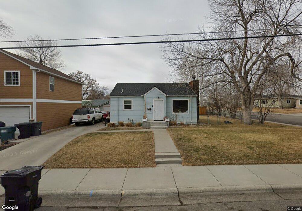
1524 10th St W Billings, MT 59102
Highlands NeighborhoodEstimated Value: $228,000 - $301,000
4
Beds
1
Bath
1,572
Sq Ft
$173/Sq Ft
Est. Value
About This Home
This home is located at 1524 10th St W, Billings, MT 59102 and is currently estimated at $271,785, approximately $172 per square foot. 1524 10th St W is a home located in Yellowstone County with nearby schools including Highland Elementary School, Lewis & Clark Junior High School, and Billings Senior High School.
Ownership History
Date
Name
Owned For
Owner Type
Purchase Details
Closed on
Dec 15, 2023
Sold by
Gtp Tlc Reo A Llc
Bought by
Black Tyler J and Black Sarah L
Current Estimated Value
Home Financials for this Owner
Home Financials are based on the most recent Mortgage that was taken out on this home.
Original Mortgage
$189,635
Outstanding Balance
$186,641
Interest Rate
7.76%
Mortgage Type
New Conventional
Estimated Equity
$85,144
Purchase Details
Closed on
Dec 26, 2014
Sold by
Hutchinson Nicole
Bought by
Mota Antony Ray and Mota Jacqueline Michele
Create a Home Valuation Report for This Property
The Home Valuation Report is an in-depth analysis detailing your home's value as well as a comparison with similar homes in the area
Home Values in the Area
Average Home Value in this Area
Purchase History
| Date | Buyer | Sale Price | Title Company |
|---|---|---|---|
| Black Tyler J | $195,500 | Title Clearing & Escrow | |
| Mota Antony Ray | -- | None Available |
Source: Public Records
Mortgage History
| Date | Status | Borrower | Loan Amount |
|---|---|---|---|
| Open | Black Tyler J | $189,635 |
Source: Public Records
Tax History Compared to Growth
Tax History
| Year | Tax Paid | Tax Assessment Tax Assessment Total Assessment is a certain percentage of the fair market value that is determined by local assessors to be the total taxable value of land and additions on the property. | Land | Improvement |
|---|---|---|---|---|
| 2025 | $2,075 | $226,200 | $44,515 | $181,685 |
| 2024 | $2,075 | $215,200 | $41,781 | $173,419 |
| 2023 | $2,209 | $230,000 | $41,781 | $188,219 |
| 2022 | $1,972 | $180,000 | $0 | $0 |
| 2021 | $1,877 | $180,000 | $0 | $0 |
| 2020 | $1,897 | $170,400 | $0 | $0 |
| 2019 | $1,812 | $170,400 | $0 | $0 |
| 2018 | $1,775 | $163,800 | $0 | $0 |
| 2017 | $1,723 | $163,800 | $0 | $0 |
| 2016 | $1,541 | $147,200 | $0 | $0 |
| 2015 | $1,507 | $147,200 | $0 | $0 |
| 2014 | $1,406 | $72,928 | $0 | $0 |
Source: Public Records
Map
Nearby Homes
- 1506 9th St W
- 921 Avenue F
- 1113 Avenue D
- 743 Avenue C
- 728 Avenue C
- 803 Parkhill Dr
- 1240 Avenue D Unit 7
- 1217 Avenue F
- 2105 11th St W
- 1116 8th St W
- 644 Avenue B
- 1107 12th St W
- 1232 Burlington Ave
- 743 Clark Ave
- 1329 Parkhill Dr
- 1212 O Malley Dr
- 1214 Clark Ave
- 1225 Clark Ave
- 1010 Poly Dr
- 1230 Clark Ave