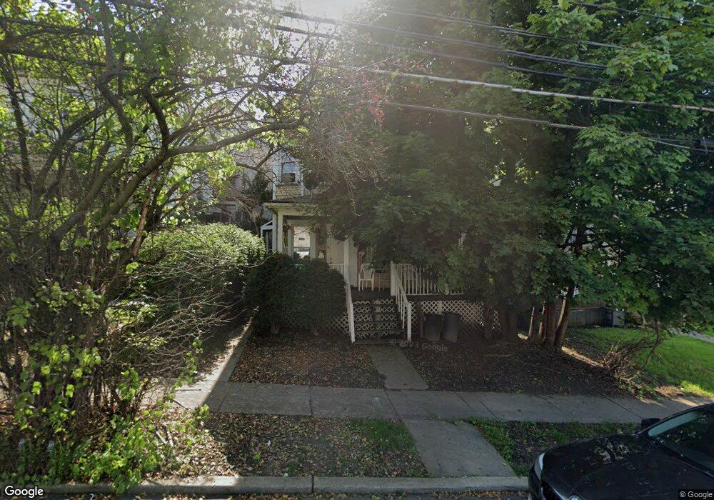
1524 Linden St Scranton, PA 18510
Hill Section NeighborhoodEstimated Value: $160,000 - $204,000
4
Beds
2
Baths
1,475
Sq Ft
$121/Sq Ft
Est. Value
About This Home
This home is located at 1524 Linden St, Scranton, PA 18510 and is currently estimated at $177,830, approximately $120 per square foot. 1524 Linden St is a home located in Lackawanna County with nearby schools including Jackson Davis Elementary School, Longdale Elementary School, and Pinchbeck Elementary School.
Ownership History
Date
Name
Owned For
Owner Type
Purchase Details
Closed on
Mar 6, 2009
Sold by
Murdough Eulah
Bought by
Murdough Eulah and Murdough Delicia
Current Estimated Value
Purchase Details
Closed on
Feb 3, 2006
Sold by
Beneski Lisa
Bought by
Murdough Eulah and Murdough Jeanette
Purchase Details
Closed on
Aug 18, 2005
Sold by
Taylor William Stephen and Taylor Nancy S
Bought by
Beneski Lisa
Create a Home Valuation Report for This Property
The Home Valuation Report is an in-depth analysis detailing your home's value as well as a comparison with similar homes in the area
Home Values in the Area
Average Home Value in this Area
Purchase History
| Date | Buyer | Sale Price | Title Company |
|---|---|---|---|
| Murdough Eulah | -- | None Available | |
| Murdough Eulah | $115,000 | None Available | |
| Beneski Lisa | $23,000 | None Available |
Source: Public Records
Tax History Compared to Growth
Tax History
| Year | Tax Paid | Tax Assessment Tax Assessment Total Assessment is a certain percentage of the fair market value that is determined by local assessors to be the total taxable value of land and additions on the property. | Land | Improvement |
|---|---|---|---|---|
| 2025 | $2,888 | $7,948 | $2,948 | $5,000 |
| 2024 | $2,661 | $7,948 | $2,948 | $5,000 |
| 2023 | $2,661 | $7,948 | $2,948 | $5,000 |
| 2022 | $2,603 | $7,948 | $2,948 | $5,000 |
| 2021 | $2,603 | $7,948 | $2,948 | $5,000 |
| 2020 | $2,561 | $7,948 | $2,948 | $5,000 |
| 2019 | $2,416 | $7,948 | $2,948 | $5,000 |
| 2018 | $2,416 | $7,948 | $2,948 | $5,000 |
| 2017 | $2,378 | $7,948 | $2,948 | $5,000 |
| 2016 | $938 | $7,948 | $2,948 | $5,000 |
| 2015 | $1,517 | $7,948 | $2,948 | $5,000 |
| 2014 | -- | $7,948 | $2,948 | $5,000 |
Source: Public Records
Map
Nearby Homes
- 228 Prescott Ave
- 342 Harrison Ave
- 329 Prescott Ave
- 316 Taylor Ave
- 24 Stafford Ave
- 516 Harrison Ave
- 432 Taylor Ave
- 0 Colfax Ave
- 545 Prescott Ave
- 824 Hemlock St
- 616-618 Harrison Ave
- 1325 Olive St
- 7 Oakwood Place
- 560 N Webster Ave
- 910 Orchard St
- 307 Crown Ave
- 610 Moosic St
- 550 Clay Ave Unit 8c
- 715 Prescott Ave Unit L17
- 741 River St
- 1520 1522 Linden St
- 1526 Linden St
- 1520 Linden St Unit 1522
- 1520 Linden St
- 243 Harrison Ave
- 1518 Linden St
- 301 Harrison Ave
- 239 Harrison Ave
- 1516 Linden St
- 1600 Linden St
- 307 Harrison Ave Unit 309
- 235 Harrison Ave Unit L15
- 1606 Linden St
- 1517 Linden St
- 231 Harrison Ave Unit 233
- 1506 Linden St
- 302 Harrison Ave
- 236 Harrison Ave Unit L4
- 240 Harrison Ave
- 1509 Linden St