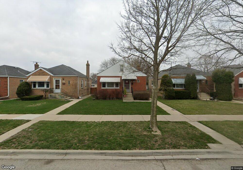
1524 Pitner Ave Evanston, IL 60201
West Evanston NeighborhoodEstimated Value: $307,000 - $391,462
3
Beds
2
Baths
1,001
Sq Ft
$340/Sq Ft
Est. Value
About This Home
This home is located at 1524 Pitner Ave, Evanston, IL 60201 and is currently estimated at $340,616, approximately $340 per square foot. 1524 Pitner Ave is a home located in Cook County with nearby schools including Lincolnwood Elementary School, Haven Middle School, and Evanston Township High School.
Ownership History
Date
Name
Owned For
Owner Type
Purchase Details
Closed on
Jun 11, 1999
Sold by
Danielak Anthony
Bought by
Sylvester Linda Anne
Current Estimated Value
Home Financials for this Owner
Home Financials are based on the most recent Mortgage that was taken out on this home.
Original Mortgage
$116,400
Outstanding Balance
$28,918
Interest Rate
7.06%
Estimated Equity
$311,698
Purchase Details
Closed on
Jun 19, 1995
Sold by
Cole Taylor Bank
Bought by
Petroski Mary A
Create a Home Valuation Report for This Property
The Home Valuation Report is an in-depth analysis detailing your home's value as well as a comparison with similar homes in the area
Home Values in the Area
Average Home Value in this Area
Purchase History
| Date | Buyer | Sale Price | Title Company |
|---|---|---|---|
| Sylvester Linda Anne | $120,000 | -- | |
| Petroski Mary A | -- | -- |
Source: Public Records
Mortgage History
| Date | Status | Borrower | Loan Amount |
|---|---|---|---|
| Open | Sylvester Linda Anne | $116,400 |
Source: Public Records
Tax History
| Year | Tax Paid | Tax Assessment Tax Assessment Total Assessment is a certain percentage of the fair market value that is determined by local assessors to be the total taxable value of land and additions on the property. | Land | Improvement |
|---|---|---|---|---|
| 2025 | $5,010 | $32,830 | $8,959 | $23,871 |
| 2024 | $5,010 | $24,010 | $7,514 | $16,496 |
| 2023 | $4,783 | $24,010 | $7,514 | $16,496 |
| 2022 | $4,783 | $24,010 | $7,514 | $16,496 |
| 2021 | $5,615 | $24,487 | $5,924 | $18,563 |
| 2020 | $5,599 | $24,487 | $5,924 | $18,563 |
| 2019 | $5,550 | $27,118 | $5,924 | $21,194 |
| 2018 | $5,261 | $22,639 | $4,913 | $17,726 |
| 2017 | $5,140 | $22,639 | $4,913 | $17,726 |
| 2016 | $5,097 | $22,639 | $4,913 | $17,726 |
| 2015 | $3,833 | $16,920 | $4,046 | $12,874 |
| 2014 | $3,811 | $16,920 | $4,046 | $12,874 |
| 2013 | $3,708 | $16,920 | $4,046 | $12,874 |
Source: Public Records
Map
Nearby Homes
- 1811 Hartrey Ave
- 1822 Brown Ave
- 1710 Lake St
- 1460 Dewey Ave
- 1813 Dodge Ave
- 9200 E Prairie Rd Unit 209A
- 9132 Lincolnwood Dr
- 3334 Wilder St
- 1120 Pitner Ave
- 8953 Central Park Ave
- 9337 Lincolnwood Dr
- 1213 Darrow Ave
- 9301 Drake Ave
- 1133 Dodge Ave
- 9433 Lincolnwood Dr
- 8822 Central Park Ave
- 1111 Darrow Ave
- 2321 Lee St
- 1037 Dodge Ave
- 8626 Trumbull Ave
- 1520 Pitner Ave
- 1528 Pitner Ave
- 1518 Pitner Ave
- 1516 Pitner Ave
- 1534 Pitner Ave
- 1536 Pitner Ave
- 1510 Pitner Ave Unit 2
- 1538 Pitner Ave
- 1527 Fowler Ave
- 1525 Fowler Ave
- 1529 Fowler Ave
- 1523 Fowler Ave
- 1533 Fowler Ave
- 1519 Fowler Ave
- 1535 Fowler Ave
- 1542 Pitner Ave
- 1517 Fowler Ave
- 1537 Fowler Ave
- 1515 Fowler Ave
- 1544 Pitner Ave
Your Personal Tour Guide
Ask me questions while you tour the home.