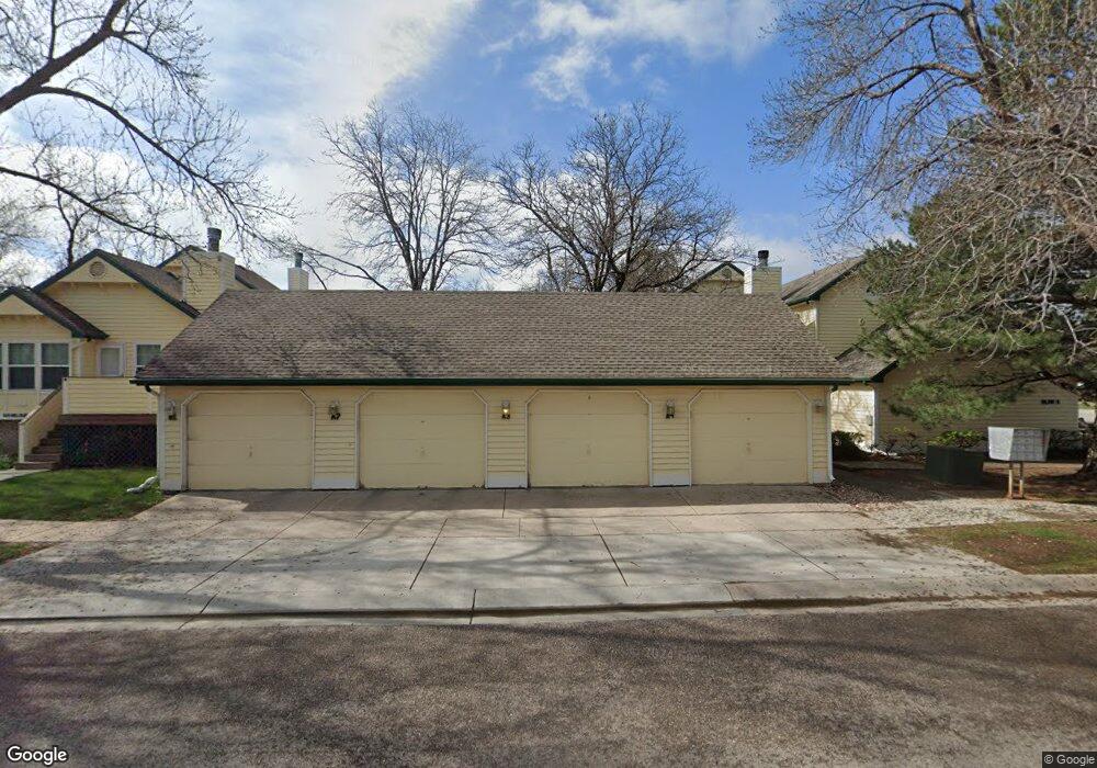
1525 Hull St Unit A6 Fort Collins, CO 80526
Estimated Value: $342,000 - $400,000
2
Beds
2
Baths
1,011
Sq Ft
$363/Sq Ft
Est. Value
About This Home
This home is located at 1525 Hull St Unit A6, Fort Collins, CO 80526 and is currently estimated at $366,490, approximately $362 per square foot. 1525 Hull St Unit A6 is a home located in Larimer County with nearby schools including Bennett Elementary School, Blevins Middle School, and Rocky Mountain High School.
Ownership History
Date
Name
Owned For
Owner Type
Purchase Details
Closed on
Apr 19, 2012
Sold by
Ness Marvin D
Bought by
Ness Marvin D and Ness Traci K
Current Estimated Value
Purchase Details
Closed on
Jan 27, 1999
Sold by
Hair John W and Hair Pamela S
Bought by
Ness Marvin D
Home Financials for this Owner
Home Financials are based on the most recent Mortgage that was taken out on this home.
Original Mortgage
$90,700
Outstanding Balance
$21,358
Interest Rate
6.68%
Estimated Equity
$345,132
Purchase Details
Closed on
Oct 1, 1995
Sold by
Marceca Dena M
Bought by
Hair John W
Purchase Details
Closed on
Apr 1, 1993
Sold by
Metcalf R Wayne
Bought by
Marceca Dena M
Create a Home Valuation Report for This Property
The Home Valuation Report is an in-depth analysis detailing your home's value as well as a comparison with similar homes in the area
Home Values in the Area
Average Home Value in this Area
Purchase History
| Date | Buyer | Sale Price | Title Company |
|---|---|---|---|
| Ness Marvin D | -- | None Available | |
| Ness Marvin D | $113,400 | -- | |
| Hair John W | $108,000 | -- | |
| Marceca Dena M | $86,700 | -- |
Source: Public Records
Mortgage History
| Date | Status | Borrower | Loan Amount |
|---|---|---|---|
| Open | Ness Marvin D | $90,700 |
Source: Public Records
Tax History Compared to Growth
Tax History
| Year | Tax Paid | Tax Assessment Tax Assessment Total Assessment is a certain percentage of the fair market value that is determined by local assessors to be the total taxable value of land and additions on the property. | Land | Improvement |
|---|---|---|---|---|
| 2025 | $1,382 | $24,784 | $1,615 | $23,169 |
| 2024 | $1,314 | $24,784 | $1,615 | $23,169 |
| 2022 | $1,132 | $18,939 | $1,675 | $17,264 |
| 2021 | $1,144 | $19,484 | $1,723 | $17,761 |
| 2020 | $1,141 | $19,341 | $1,723 | $17,618 |
| 2019 | $1,146 | $19,341 | $1,723 | $17,618 |
| 2018 | $919 | $17,280 | $1,735 | $15,545 |
| 2017 | $916 | $17,280 | $1,735 | $15,545 |
| 2016 | $1,370 | $15,004 | $1,918 | $13,086 |
| 2015 | $1,360 | $15,010 | $1,920 | $13,090 |
| 2014 | $1,013 | $11,110 | $1,920 | $9,190 |
Source: Public Records
Map
Nearby Homes
- 2918 Silverplume Dr Unit C1
- 2718 Dunbar Ave
- 2855 Trenton Way
- 2828 Silverplume Dr
- 2828 Silverplume Dr Unit R3
- 2738 Bradford Square
- 2706 Dunbar Ave
- 1601 W Swallow Rd Unit 1
- 1601 W Swallow Rd Unit 9
- 1601 W Swallow Rd
- 1531 W Swallow Rd Unit 25
- 1531 W Swallow Rd Unit 28
- 1419 Glen Haven Dr
- 2109 W Drake Rd
- 1401 Sioux Blvd
- 2613 Hanover Dr
- 1231 W Swallow Rd Unit 323
- 1231 W Swallow Rd Unit 316
- 1231 W Swallow Rd Unit 314
- 1213 W Swallow Rd Unit 213
- 1525 Hull St Unit B3
- 1525 Hull St Unit B2
- 1525 Hull St Unit B1
- 1525 Hull St Unit A5
- 1525 Hull St Unit A4
- 1525 Hull St Unit A3
- 1525 Hull St Unit A2
- 1525 Hull St Unit A1
- 1525 Hull St Unit 5
- 1525 Hull St
- 1525 Hull St Unit 3
- 1525 Hull St Unit 2
- 1525 Hull St Unit 1
- 2919 Silverplume Dr
- 2836 Dunbar Ave
- 2925 Silverplume Dr
- 2842 Dunbar Ave
- 2931 Silverplume Dr
- 2831 Dunbar Ave
- 2825 Dunbar Ave