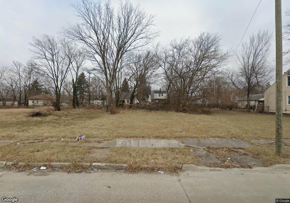
15261 Linnhurst St Detroit, MI 48205
Maple Ridge NeighborhoodEstimated Value: $58,000 - $68,000
--
Bed
1
Bath
738
Sq Ft
$85/Sq Ft
Est. Value
About This Home
This home is located at 15261 Linnhurst St, Detroit, MI 48205 and is currently estimated at $63,000, approximately $85 per square foot. 15261 Linnhurst St is a home located in Wayne County with nearby schools including Edward 'Duke' Ellington Conservatory of Music and Art, Charles L. Spain Elementary-Middle School, and Denby High School.
Ownership History
Date
Name
Owned For
Owner Type
Purchase Details
Closed on
Jan 13, 2016
Sold by
Wayne County Treasurer
Bought by
Detroit Land Bank Authority
Current Estimated Value
Purchase Details
Closed on
Oct 26, 2004
Sold by
Hud
Bought by
Agboola Kazeem
Purchase Details
Closed on
Feb 13, 2003
Sold by
Boyd Marqual and Boyd Chiquita
Bought by
Mortgage Electronic Registration Systems
Purchase Details
Closed on
Apr 11, 2002
Sold by
Mortgage Electronic Registration Systems
Bought by
Hud
Create a Home Valuation Report for This Property
The Home Valuation Report is an in-depth analysis detailing your home's value as well as a comparison with similar homes in the area
Home Values in the Area
Average Home Value in this Area
Purchase History
| Date | Buyer | Sale Price | Title Company |
|---|---|---|---|
| Detroit Land Bank Authority | -- | None Available | |
| Agboola Kazeem | $29,101 | -- | |
| Mortgage Electronic Registration Systems | $78,648 | -- | |
| Hud | -- | Parks Title |
Source: Public Records
Tax History Compared to Growth
Tax History
| Year | Tax Paid | Tax Assessment Tax Assessment Total Assessment is a certain percentage of the fair market value that is determined by local assessors to be the total taxable value of land and additions on the property. | Land | Improvement |
|---|---|---|---|---|
| 2025 | -- | $0 | $0 | $0 |
| 2024 | -- | $0 | $0 | $0 |
| 2023 | $0 | $0 | $0 | $0 |
| 2022 | $0 | $0 | $0 | $0 |
| 2021 | $0 | $0 | $0 | $0 |
| 2020 | $1,689 | $0 | $0 | $0 |
| 2019 | $1,689 | $0 | $0 | $0 |
| 2018 | $0 | $0 | $0 | $0 |
| 2017 | $260 | $0 | $0 | $0 |
| 2016 | $260 | $2,600 | $0 | $0 |
| 2015 | $260 | $2,600 | $0 | $0 |
| 2013 | $1,480 | $14,795 | $0 | $0 |
| 2010 | -- | $21,692 | $998 | $20,694 |
Source: Public Records
Map
Nearby Homes
- 15227 Linnhurst St
- 15257 Faircrest St
- 15294 Saratoga St
- 15315 Park Grove St
- 15480 Saratoga St
- 15309 Mapleridge St
- 15243 Fordham St
- 18814 Morang Dr
- 18820 Morang Dr
- 15430 Mapleridge St
- 15470 Mapleridge St
- 15646 Saratoga St
- 15596 Eastwood St
- 15611 Mapleridge St
- 14253 Fordham St
- 14895 Mapleridge St
- 14881 Mapleridge St
- 15241 Seymour St
- 15666 Eastwood St
- 15276 Seymour St
- 15251 Linnhurst St
- 15271 Linnhurst St
- 15245 Linnhurst St
- 15279 Linnhurst St
- 15285 Linnhurst St
- 15235 Linnhurst St
- 15260 Faircrest St
- 15250 Faircrest St
- 15270 Faircrest St
- 15266 Linnhurst St
- 15244 Faircrest St
- 15264 Linnhurst St
- 15256 Linnhurst St
- 15280 Faircrest St
- 15295 Linnhurst St
- 15246 Linnhurst St
- 15232 Faircrest St
- 15274 Linnhurst St
- 15238 Linnhurst St
- 15286 Faircrest St