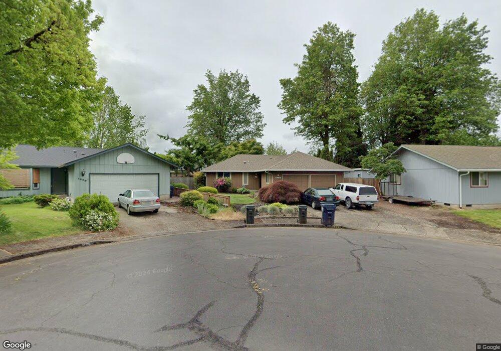
1527 Dola St Eugene, OR 97402
Bethel NeighborhoodEstimated Value: $352,554 - $395,000
3
Beds
2
Baths
1,086
Sq Ft
$342/Sq Ft
Est. Value
About This Home
This home is located at 1527 Dola St, Eugene, OR 97402 and is currently estimated at $371,139, approximately $341 per square foot. 1527 Dola St is a home located in Lane County with nearby schools including Danebo Elementary School, Shasta Middle School, and Willamette High School.
Ownership History
Date
Name
Owned For
Owner Type
Purchase Details
Closed on
Jan 30, 2025
Sold by
Peterson Kathleen Mary
Bought by
Kathleen Mary Peterson Revocable Trust and Peterson
Current Estimated Value
Purchase Details
Closed on
Mar 8, 2023
Sold by
Peterson Allen Edward
Bought by
Peterson Tony Allen and Magee Tamara Louise
Purchase Details
Closed on
Aug 17, 2018
Sold by
Peterson Kathleen Mary and Peterson Allen Edward
Bought by
Patterson Kathleen Mary and Patterson Allen Edward
Purchase Details
Closed on
Oct 26, 1994
Sold by
Peterson Kathleen Mary and Peterson Allen Edward
Bought by
Peterson Kathleen Mary and Peterson Allen Edward
Create a Home Valuation Report for This Property
The Home Valuation Report is an in-depth analysis detailing your home's value as well as a comparison with similar homes in the area
Home Values in the Area
Average Home Value in this Area
Purchase History
| Date | Buyer | Sale Price | Title Company |
|---|---|---|---|
| Kathleen Mary Peterson Revocable Trust | -- | None Listed On Document | |
| Peterson Tony Allen | -- | -- | |
| Patterson Kathleen Mary | -- | None Available | |
| Peterson Kathleen Mary | -- | -- |
Source: Public Records
Tax History
| Year | Tax Paid | Tax Assessment Tax Assessment Total Assessment is a certain percentage of the fair market value that is determined by local assessors to be the total taxable value of land and additions on the property. | Land | Improvement |
|---|---|---|---|---|
| 2025 | $2,951 | $169,653 | -- | -- |
| 2024 | $2,877 | $164,712 | -- | -- |
| 2023 | $2,877 | $159,915 | $0 | $0 |
| 2022 | $2,678 | $155,258 | $0 | $0 |
| 2021 | $2,621 | $150,736 | $0 | $0 |
| 2020 | $2,545 | $146,346 | $0 | $0 |
| 2019 | $2,420 | $142,084 | $0 | $0 |
| 2018 | $2,352 | $133,928 | $0 | $0 |
| 2017 | $2,248 | $133,928 | $0 | $0 |
| 2016 | $2,191 | $130,027 | $0 | $0 |
| 2015 | $2,147 | $126,240 | $0 | $0 |
| 2014 | $2,115 | $122,563 | $0 | $0 |
Source: Public Records
Map
Nearby Homes
- 1562 Philip St
- 4554 Woodsboro St
- 4548 Cambon St
- 1145 Ludgate Dr
- 1159 Throne Dr
- 4800 Barger Dr Unit 60
- 1400 Candlelight Dr Unit 162
- 1400 Candlelight Dr Unit 208
- 1400 Candlelight Dr
- 1400 Candlelight Dr Unit 226
- 4941 Stagecoach Rd
- 1153 Elizabeth St
- 4280 Avalon St
- 870 Laurelhurst Dr
- 1699 N Terry St Unit 89
- 1699 N Terry St Unit 272
- 4749 Royal Ave
- 1199 N Terry St
- 1199 N Terry St Unit 248
- 1199 N Terry St Unit 259
Your Personal Tour Guide
Ask me questions while you tour the home.