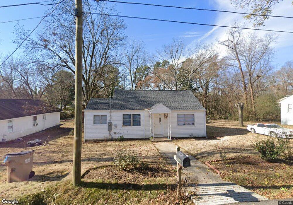
1528 Carter St Gainesville, GA 30501
Browns Bridge NeighborhoodEstimated Value: $213,000 - $241,801
2
Beds
1
Bath
1,232
Sq Ft
$184/Sq Ft
Est. Value
About This Home
This home is located at 1528 Carter St, Gainesville, GA 30501 and is currently estimated at $226,450, approximately $183 per square foot. 1528 Carter St is a home located in Hall County with nearby schools including Lyman Hall Elementary School, West Hall Middle School, and West Hall High School.
Ownership History
Date
Name
Owned For
Owner Type
Purchase Details
Closed on
Jul 27, 2020
Sold by
Stanley Crain Rental Llc
Bought by
Domingo Mateo Francisco Mateo
Current Estimated Value
Purchase Details
Closed on
Mar 11, 2013
Sold by
Crain Virgle D
Bought by
Stanley Crain Rental Llc
Purchase Details
Closed on
Jul 15, 1988
Sold by
Crain V D
Bought by
Crain Virgil and Stanley Rachel
Create a Home Valuation Report for This Property
The Home Valuation Report is an in-depth analysis detailing your home's value as well as a comparison with similar homes in the area
Home Values in the Area
Average Home Value in this Area
Purchase History
| Date | Buyer | Sale Price | Title Company |
|---|---|---|---|
| Domingo Mateo Francisco Mateo | $49,000 | -- | |
| Stanley Crain Rental Llc | -- | -- | |
| Crain Virgil | -- | -- |
Source: Public Records
Tax History
| Year | Tax Paid | Tax Assessment Tax Assessment Total Assessment is a certain percentage of the fair market value that is determined by local assessors to be the total taxable value of land and additions on the property. | Land | Improvement |
|---|---|---|---|---|
| 2025 | $1,163 | $57,028 | $12,680 | $44,348 |
| 2024 | $1,217 | $48,228 | $10,960 | $37,268 |
| 2023 | $801 | $48,908 | $10,960 | $37,948 |
| 2022 | $899 | $33,948 | $6,480 | $27,468 |
| 2021 | $520 | $30,108 | $6,960 | $23,148 |
| 2020 | $815 | $39,308 | $6,960 | $32,348 |
| 2019 | $822 | $27,419 | $6,960 | $20,459 |
| 2018 | $760 | $24,339 | $6,960 | $17,379 |
| 2017 | $732 | $23,579 | $6,960 | $16,619 |
| 2016 | $617 | $19,933 | $6,960 | $12,973 |
| 2015 | $569 | $18,053 | $5,080 | $12,973 |
| 2014 | $569 | $18,053 | $5,080 | $12,973 |
Source: Public Records
Map
Nearby Homes
- 593 Shallowford Rd NW
- 0 Hilton Dr Unit 10529633
- 1639 Whiting Dr
- 4171 Millstone Park Ln
- 0 Hilton Southwest Dr Unit 7697592
- 1255 Purina Dr
- 2054 Spring Rd
- 2147 Spring Rd
- 1122 Villa Clara Way
- 219 Shallowford Dr
- 221 Shallowford Dr
- 2244 Bennett Cir
- 1636 Atlanta Hwy
- 515 Nightfire Ct SW
- 510 Nightfire Ct SW
- 705 Oak St
- 354 Clarendon Ct SE
- 652 Wilshire Place
- 2504 Browns Bridge Rd
- #25 3022 Waterford Dr
Your Personal Tour Guide
Ask me questions while you tour the home.