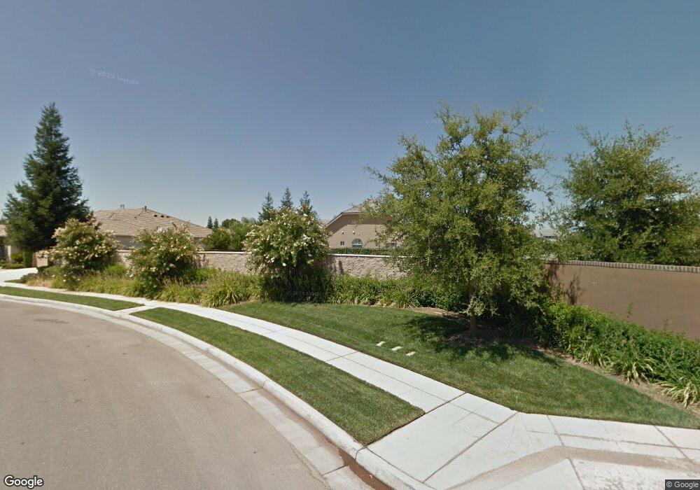
1528 N Devonwood Ln Clovis, CA 93619
Estimated Value: $862,704 - $877,000
3
Beds
3
Baths
2,676
Sq Ft
$324/Sq Ft
Est. Value
About This Home
This home is located at 1528 N Devonwood Ln, Clovis, CA 93619 and is currently estimated at $867,901, approximately $324 per square foot. 1528 N Devonwood Ln is a home with nearby schools including Garfield Elementary School, Alta Sierra Intermediate School, and Buchanan High School.
Ownership History
Date
Name
Owned For
Owner Type
Purchase Details
Closed on
Dec 17, 2015
Sold by
Swanson Suzanne and Swanson John A
Bought by
The John & Suzanne Swanson Family Trust
Current Estimated Value
Purchase Details
Closed on
Oct 17, 2014
Sold by
Valley River Developers Llc
Bought by
Swanson Suzanne and Swanson John A
Home Financials for this Owner
Home Financials are based on the most recent Mortgage that was taken out on this home.
Original Mortgage
$418,000
Outstanding Balance
$320,458
Interest Rate
4.1%
Mortgage Type
New Conventional
Estimated Equity
$547,443
Purchase Details
Closed on
Dec 28, 1983
Sold by
Falls J C
Bought by
Falls Marie F and Falls Marvin L
Create a Home Valuation Report for This Property
The Home Valuation Report is an in-depth analysis detailing your home's value as well as a comparison with similar homes in the area
Home Values in the Area
Average Home Value in this Area
Purchase History
| Date | Buyer | Sale Price | Title Company |
|---|---|---|---|
| The John & Suzanne Swanson Family Trust | -- | None Available | |
| Swanson Suzanne | $705,500 | Old Republic Title Company | |
| Falls Marie F | -- | -- |
Source: Public Records
Mortgage History
| Date | Status | Borrower | Loan Amount |
|---|---|---|---|
| Open | Swanson Suzanne | $418,000 |
Source: Public Records
Tax History
| Year | Tax Paid | Tax Assessment Tax Assessment Total Assessment is a certain percentage of the fair market value that is determined by local assessors to be the total taxable value of land and additions on the property. | Land | Improvement |
|---|---|---|---|---|
| 2025 | $10,184 | $847,293 | $300,457 | $546,836 |
| 2023 | $9,786 | $814,393 | $288,791 | $525,602 |
| 2022 | $9,650 | $798,426 | $283,129 | $515,297 |
| 2021 | $9,363 | $782,772 | $277,578 | $505,194 |
| 2020 | $9,324 | $774,746 | $274,732 | $500,014 |
| 2019 | $9,145 | $759,556 | $269,346 | $490,210 |
| 2018 | $8,948 | $744,664 | $264,065 | $480,599 |
| 2017 | $8,798 | $730,064 | $258,888 | $471,176 |
| 2016 | $8,500 | $715,750 | $253,812 | $461,938 |
| 2015 | $8,345 | $111,270 | $111,270 | $0 |
| 2014 | $1,408 | $109,091 | $109,091 | $0 |
Source: Public Records
Map
Nearby Homes
- 635 W Quincy Ave
- 1634 N Cindy Ave
- 754 W Riviera Ln
- 717 W Tivoli Ln
- 2878 E Omaha Ave
- 2825 E Quincy Ave
- 290 W Loyola Ave
- 2776 E Muncie Ave
- 8340 N Shallot Way
- 548 W Serena Ave
- 2719 E Spice Way
- 2707 E Omaha Ave
- 8540 N Talladega Way
- 2845 E Goshen Ave
- 8450 N Saffron Ct
- 2567 E Tarragon Way
- 8697 N Talladega Way
- 77 W Lester Ave
- 2740 E El Paso Ave
- 2991 E Cromwell Ave
- 1548 N Devonwood Ln
- 613 W Richmond Ave
- 1568 N Devonwood Ln
- 1517 N Devonwood Ln
- 1527 N Devonwood Ln
- 618 W Heritage Ave
- 623 W Richmond Ave
- 586 W Indio Ln
- 1557 N Devonwood Ln
- 1588 N Devonwood Ln
- 628 W Heritage Ave
- 574 W Indio Ln
- 1577 N Devonwood Ln
- 1520 N Westbrook Ln
- 1540 N Westbrook Ln
- 633 W Richmond Ave
- 567 W Quincy Ave
- 1560 N Westbrook Ln
- 562 W Indio Ln
- 638 W Heritage Ave
Your Personal Tour Guide
Ask me questions while you tour the home.