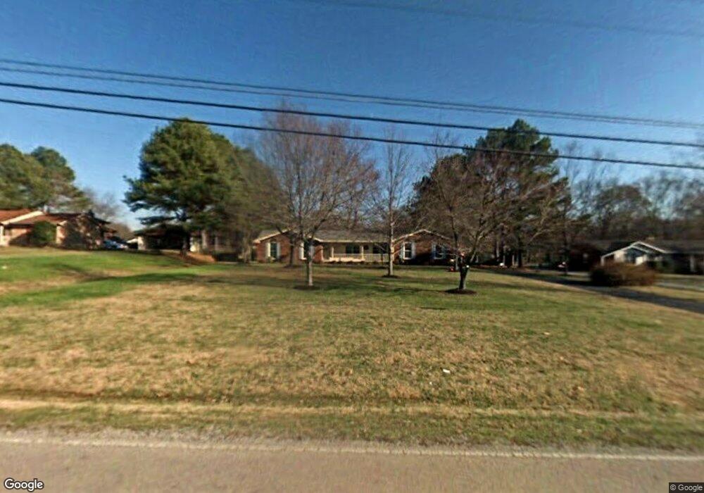
1528 Saundersville Ferry Rd Mount Juliet, TN 37122
Estimated Value: $330,638 - $460,000
--
Bed
2
Baths
1,473
Sq Ft
$284/Sq Ft
Est. Value
About This Home
This home is located at 1528 Saundersville Ferry Rd, Mount Juliet, TN 37122 and is currently estimated at $418,910, approximately $284 per square foot. 1528 Saundersville Ferry Rd is a home located in Wilson County with nearby schools including Lakeview Elementary School, Mt. Juliet Middle School, and Green Hill High School.
Ownership History
Date
Name
Owned For
Owner Type
Purchase Details
Closed on
Dec 21, 1998
Sold by
James Haskins
Bought by
Bowington Margaret E
Current Estimated Value
Purchase Details
Closed on
Sep 21, 1995
Bought by
Haskins James and Haskins Kimberly
Purchase Details
Closed on
Aug 4, 1988
Bought by
Bertram George B
Purchase Details
Closed on
Aug 27, 1986
Bought by
Gray Michael C
Purchase Details
Closed on
Mar 18, 1980
Create a Home Valuation Report for This Property
The Home Valuation Report is an in-depth analysis detailing your home's value as well as a comparison with similar homes in the area
Home Values in the Area
Average Home Value in this Area
Purchase History
| Date | Buyer | Sale Price | Title Company |
|---|---|---|---|
| Bowington Margaret E | $138,500 | -- | |
| Haskins James | $107,500 | -- | |
| Bertram George B | $72,000 | -- | |
| Gray Michael C | -- | -- | |
| -- | -- | -- |
Source: Public Records
Tax History Compared to Growth
Tax History
| Year | Tax Paid | Tax Assessment Tax Assessment Total Assessment is a certain percentage of the fair market value that is determined by local assessors to be the total taxable value of land and additions on the property. | Land | Improvement |
|---|---|---|---|---|
| 2024 | $1,194 | $62,575 | $18,750 | $43,825 |
| 2022 | $1,194 | $62,575 | $18,750 | $43,825 |
| 2021 | $1,194 | $62,575 | $18,750 | $43,825 |
| 2020 | $1,059 | $62,575 | $18,750 | $43,825 |
| 2019 | $1,059 | $42,025 | $9,250 | $32,775 |
| 2018 | $1,059 | $42,025 | $9,250 | $32,775 |
| 2017 | $1,059 | $42,025 | $9,250 | $32,775 |
| 2016 | $1,059 | $42,025 | $9,250 | $32,775 |
| 2015 | $1,080 | $42,025 | $9,250 | $32,775 |
| 2014 | $915 | $35,597 | $0 | $0 |
Source: Public Records
Map
Nearby Homes
- 425 Beth Dr
- 4245 Nonaville Rd
- 1896 Saundersville Ferry Rd
- 310 Weeping Elm Rd
- 316 River Dr
- 1003 Bellwood Dr
- 3860 Saundersville Ferry Rd
- 877 Saundersville Ferry Rd
- 622 Oakwood Terrace
- 429 Beacon Hill Dr
- 2237 Saundersville Ferry Rd
- 741 Saundersville Ferry Rd
- 306 Estate Dr
- 206 James Matthew Ln
- 320 Estate Dr
- 300 Dani Ct
- 1010 Noel Dr
- 589 Saundersville Ferry Rd
- 37 Kebu Rd
- 14 Lake Forest Dr
- 1554 Saundersville Ferry Rd
- 1512 Saundersville Ferry Rd
- 1584 Saundersville Ferry Rd
- 1480 Saundersville Ferry Rd
- 630 Francis Cir
- 632 Francis Cir
- 628 Francis Cir
- 1535 Saundersville Ferry Rd
- 634 Francis Cir
- 1579 Saundersville Ferry Rd
- 803 Bobbye Ct
- 1464 Saundersville Ferry Rd
- 1616 Saundersville Ferry Rd
- 1499 Saundersville Ferry Rd
- 636 Francis Cir
- 802 Bobbye Ct
- 1609 Saundersville Ferry Rd
- 623 Lovell Dr
- 437 Beth Dr
- 1642 Saundersville Ferry Rd