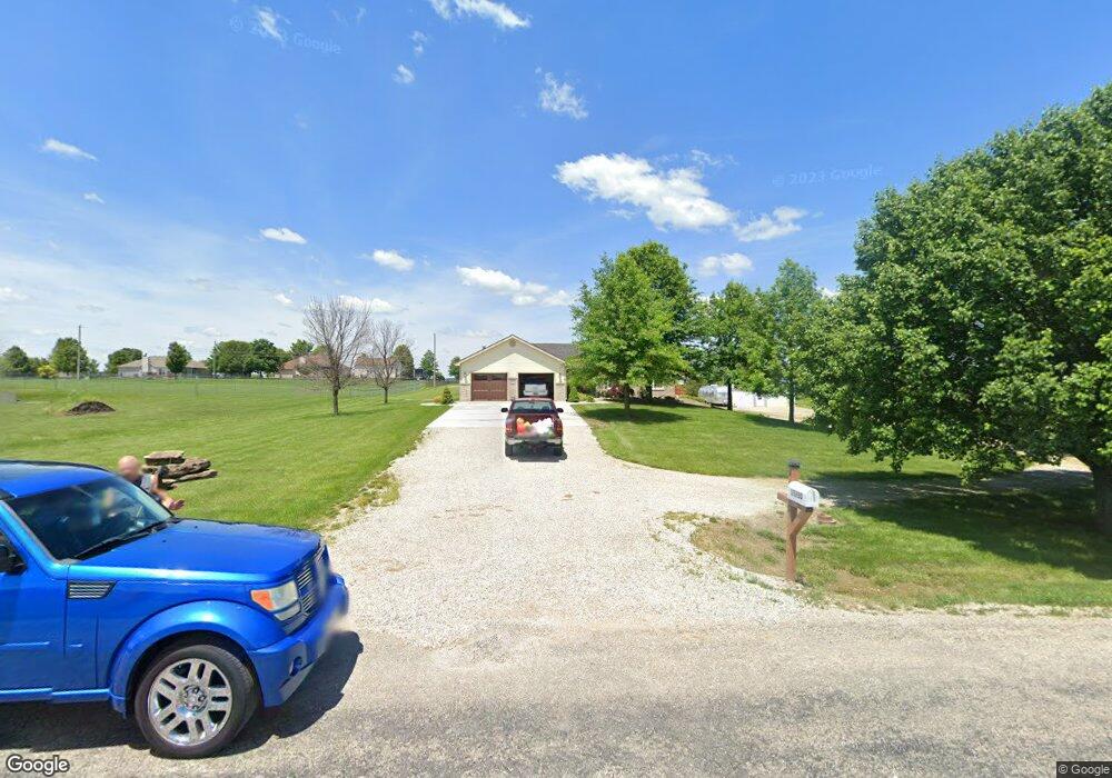
15280 Brandt Rd Leavenworth, KS 66048
Estimated Value: $441,000 - $477,239
3
Beds
2
Baths
1,730
Sq Ft
$264/Sq Ft
Est. Value
About This Home
This home is located at 15280 Brandt Rd, Leavenworth, KS 66048 and is currently estimated at $456,810, approximately $264 per square foot. 15280 Brandt Rd is a home located in Leavenworth County with nearby schools including Lansing Elementary School, Lansing Middle 6-8, and Lansing High 9-12.
Ownership History
Date
Name
Owned For
Owner Type
Purchase Details
Closed on
Nov 7, 2019
Sold by
Dixon Rodney R and Dixon Helen K
Bought by
Dixon Rodney R and Dixon Helen K
Current Estimated Value
Purchase Details
Closed on
May 1, 2002
Bought by
Dixon Helen K and Dixon Rodney R
Home Financials for this Owner
Home Financials are based on the most recent Mortgage that was taken out on this home.
Original Mortgage
$20,000
Interest Rate
6.88%
Mortgage Type
New Conventional
Create a Home Valuation Report for This Property
The Home Valuation Report is an in-depth analysis detailing your home's value as well as a comparison with similar homes in the area
Home Values in the Area
Average Home Value in this Area
Purchase History
| Date | Buyer | Sale Price | Title Company |
|---|---|---|---|
| Dixon Rodney R | -- | None Listed On Document | |
| Dixon Helen K | $168,500 | -- |
Source: Public Records
Mortgage History
| Date | Status | Borrower | Loan Amount |
|---|---|---|---|
| Previous Owner | Dixon Helen K | $20,000 | |
| Closed | Dixon Helen K | $175,000 |
Source: Public Records
Tax History Compared to Growth
Tax History
| Year | Tax Paid | Tax Assessment Tax Assessment Total Assessment is a certain percentage of the fair market value that is determined by local assessors to be the total taxable value of land and additions on the property. | Land | Improvement |
|---|---|---|---|---|
| 2025 | $5,475 | $51,160 | $7,078 | $44,082 |
| 2024 | $5,075 | $49,193 | $6,599 | $42,594 |
| 2023 | $5,075 | $47,760 | $6,599 | $41,161 |
| 2022 | $4,723 | $42,849 | $5,652 | $37,197 |
| 2021 | $4,392 | $39,549 | $4,773 | $34,776 |
| 2020 | $3,921 | $34,765 | $4,591 | $30,174 |
| 2019 | $3,688 | $32,936 | $4,246 | $28,690 |
| 2018 | $3,591 | $32,108 | $3,326 | $28,782 |
| 2017 | $3,318 | $29,616 | $3,129 | $26,487 |
| 2016 | $3,204 | $28,750 | $3,096 | $25,654 |
| 2015 | $3,044 | $27,370 | $3,096 | $24,274 |
| 2014 | $2,920 | $26,749 | $3,096 | $23,653 |
Source: Public Records
Map
Nearby Homes
- 15280 Roger Rd
- 15038 Fairmount Rd
- 14934 Fairmount Rd
- 22617 155th St
- 23802 140th St
- 14165 Ashbury Ct
- Lot 2 139th St
- 6508 141st St
- 5025 146th St
- 5023 146th St
- 5005 146th St
- 5020 146th St
- 5018 146th St
- 5001 N 145th St
- 4551 N 145th St
- 13965 Mc Intyre Rd
- 833 Rock Creek Dr
- 24431 139th St
- 705 Rock Creek Dr
- 1221 S Desoto Rd
- 15230 Brandt Rd
- 15294 Brandt Rd
- 15231 Roger Rd
- 15301 Roger Rd
- 15200 Brandt Rd
- 15281 Brandt Rd
- 15324 Brandt Rd
- 15251 Brandt Rd
- 15297 Brandt Rd
- 15201 Roger Rd
- 15325 Roger Rd
- 15201 Brandt Rd
- 15325 Brandt Rd
- 15150 Brandt Rd
- 15354 Brandt Rd
- 15151 Brandt Rd
- 15151 Roger Rd
- 15351 Roger Rd
- 15230 Roger Rd
- 15294 Roger Rd